Bash Bish Falls
Swimming hole in Massachusetts, Massachusetts · Waterfall
Bash Bish Falls is a brook /falls swimming hole. It is near Massachusetts, Massachusetts. Fee notes: Free MA DCR parking (limited); Taconic State Park (NY) approach may charge seasonal fees. Best season: Spring for dramatic water flow (April-May), summer for swimming (June-August), autumn for foliage photography (September-October), winter for icy landscapes (December-February).
Typical season: Spring for dramatic water flow (April-May), summer for swimming (June-August), autumn for foliage photography (September-October), winter for icy landscapes (December-February)
About Bash Bish Falls
Near Massachusetts in Massachusetts, Bash Bish Falls offers a straightforward outdoor swim.
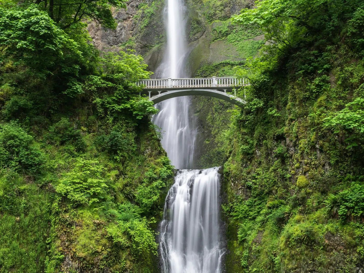
As the highest waterfall in Massachusetts, it commands attention: the brook splits around a central boulder and plunges in twin curtains of white water, forming a perfect "V" before crashing into the deep, mist-shrouded pool below. The roar of the falls carries through the hemlock-lined gorge long before you see them, building anticipation with every step down the trail. The gorge itself feels ancient and wild. Sheer rock walls rise around you, draped in ferns and mosses that stay brilliantly green even in summer's heat. Boulders the size of cars have tumbled into the streambed over centuries, creating a rugged, sculpted landscape that rewards slow exploration. In spring, snowmelt swells the brook to a thundering torrent. The falls are at their most powerful and photogenic between April and May.
By summer, the canopy closes in overhead, filtering the sunlight into shifting, golden columns. Come autumn, the surrounding hardwoods ignite in red and orange, framing the cascade in color that seems almost unreally vivid. Even in winter, the falls take on an alien beauty, with ice formations building up along the rock faces. The currents are powerful and the rocks unpredictable. The real reward for swimmers lies upstream, where the brook opens into a series of clear, quieter pools above the main falls. Here, the water runs cool and clean over smooth stones, giving you the chance to wade in, float, and soak in the gorge atmosphere without the hazards of the main cascade.
Treat Bash Bish Falls as a wild swim: no lifeguard, variable depth, and rules that can change by season.
Key facts
Structured details for trip planning — verify access and fees with the land manager before you visit.
- Water type
- Brook /Falls
- Fee
- Free MA DCR parking (limited); Taconic State Park (NY) approach may charge seasonal fees
- State
- Massachusetts
- Coordinates
- 42.11500, -73.49300
- Best season
- Spring for dramatic water flow (April-May), summer for swimming (June-August), autumn for foliage photography (September-October), winter for icy landscapes (December-February).
- Access difficulty
- Moderate: Steep half-mile trail from MA parking lot; easier 0.6-mile trail from NY parking area.
- Parking
- Designated area
- Lifeguard
- Present (seasonal)
- Camping
- There is developed camping on the NY side in Copake Falls NY - Taconic State Park. (There is .00 for day-use swimming.) There is no developed camping on the MA side, but here is what a frequent camper there says (see the "LOCAL AREA MAP" above), "As for nearby camping, the 1 mi. Hike (from Mt. Washington state forest HQ, which is on the MA side) to the Ashley brook primitive camp sites is easy, and the camping is fabulous. These are state approved and designated primitive camp sites with outhouse toilets. I've often camped here.. And then continued on to the summit (Alander Mtn) the next day (another 1 mi.) and cruised north along the ridge on the South Taconic trail (another 3 mi.) to the Bash Bish gorge for a swim at the pools above the main falls and then jogged back along the road (4 mi.) back to the SF HQ to get my car and return for my family. Great loop that has it all.. Good camping.. Best in MA summit views.. Great swimming. I've camped all over southern NE.. And this loop rates tops on my list". Hey, you can't get a more enthusiastic endorsement than that!
- Land manager
- State park / recreation agency
- Facilities
- Developed camping and quarry . Washington State Forest (MA side).
- Last verified
- May 12, 2026
The experience
- Best time to visit Spring for dramatic water flow (April-May), summer for swimming (June-August), autumn for foliage photography (September-October), winter for icy landscapes (December-February).
- Access Moderate: Steep half-mile trail from MA parking lot; easier 0.6-mile trail from NY parking area.
- Facilities Developed camping and quarry . Washington State Forest (MA side).
- Camping nearby There is developed camping on the NY side in Copake Falls NY - Taconic State Park. (There is .00 for day-use swimming.) There is no developed camping on the MA side, but here is what a frequent camper there says (see the "LOCAL AREA MAP" above), "As for nearby camping, the 1 mi. Hike (from Mt. Washington state forest HQ, which is on the MA side) to the Ashley brook primitive camp sites is easy, and the camping is fabulous. These are state approved and designated primitive camp sites with outhouse toilets. I've often camped here.. And then continued on to the summit (Alander Mtn) the next day (another 1 mi.) and cruised north along the ridge on the South Taconic trail (another 3 mi.) to the Bash Bish gorge for a swim at the pools above the main falls and then jogged back along the road (4 mi.) back to the SF HQ to get my car and return for my family. Great loop that has it all.. Good camping.. Best in MA summit views.. Great swimming. I've camped all over southern NE.. And this loop rates tops on my list". Hey, you can't get a more enthusiastic endorsement than that!
Highlights & features
- Highest waterfall in Massachusetts
- Twin cascades with dramatic rock formations
- Upstream swimming holes with clear waters
- Seasonal beauty: spring flows, autumn foliage
- Accessible hiking trails from MA and NY
- Twin waterfalls shaped in a striking 'V'
- Swimming holes upstream of the falls
- Primitive camping options with scenic hikes nearby
How to get there
Bash Bish Falls lies in Massachusetts near Massachusetts. Use these driving notes as a starting point and confirm road conditions before you go. Bring water, sunscreen, and gear for a primitive swim day. Weekends and holidays can draw more visitors. Check local updates on access and water levels before you leave home.
-
Overview
Bash Bish Falls lies in southeastern Massachusetts, near the border of New York. It can be accessed from either state, with parking areas and trailheads available on both sides. The falls are a busy spot for hiking and scenic views, but . From Massachusetts:
-
Starting Point: Great Barrington, MA
-
Take Route 23 west toward Egremont.
In Egremont, turn left onto Route 41 south. After a short distance, make an immediate right onto Mount Washington Road. Follow Signs to Bash Bish Falls Parking Area Continue on Mount Washington Road and follow signs for Bash Bish Falls. The Massachusetts parking area lies above the falls.
-
Parking and Trail Access
Park at the designated parking lot for Bash Bish Falls. From the parking lot: To the base of the falls:
-
Walk to the right and follow the steep trail downhill for about 0.5 miles. Note that . To
Walk to the left from the parking lot for a short distance to access the creek above the falls. Be sure to swim upstream of the warning signs near the top of the falls for safety. From New York:
-
Starting Point: Copake Falls, NY
-
From Route 22 in Taconic State Park, take Route 344 east.
Follow Route 344 for a short distance to the signed Bash Bish Falls parking area.
-
Parking and Trail Access
Park at the New York parking area. From the parking lot, hike the 0.6-mile trail to the falls. This trail is relatively easy and leads to the base of Bash Bish Falls. Note that . Accessing the Massachusetts Parking Area To reach the Massachusetts parking area from the New York side, continue driving east on Route 344. You will cross the state border into Massachusetts, and the Massachusetts parking area will be on your right.
-
Helpful notes: Safety: . Signs are posted to warn visitors. Trail Difficulty
The trail from the Massachusetts parking area to the base of the falls is steep and may require caution. The trail from the New York parking area is longer but easier to navigate. Landmarks: Look for clear signage for Bash Bish Falls along Route 344 and Mount Washington Road.
-
Parking
Both parking areas are well-marked and provide access to trails leading to the falls and surrounding areas. Have a safe visit to Bash Bish Falls!
Plan your visit
Bash Bish Falls works well as a day trip from Massachusetts. Stock up in town, then head to the water with food, water, and sun protection. Combine the swim with camping at Cummington or browse more Massachusetts creek spots in our directory. For the full list in Massachusetts, see our state directory.
Access & fees
Access is via marked parking areas and trails in Massachusetts and New York. Check local park for current conditions. Swimming is prohibited at the base of the falls; designated swimming is only allowed upstream. No information on fees or facilities is provided.
Top picks for this trip
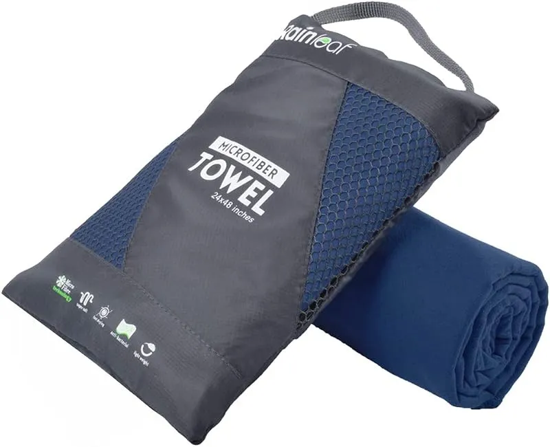
Rainleaf Microfiber Towel
Buy two — a large for drying off and a small for gear — and you still spend less than one cotton beach towel.
Check price on
ThinkSport Sport Mineral Sunscreen
The best blend of reef-safety, protection, and wearability — start here.
Check price onDisclosure: Gear links may earn a commission as an Amazon Associate — at no extra cost to you. Learn more.
What to pack for Bash Bish Falls
Gear we compare side by side for waterfall swims like this one — water access, sun, and the hike in.


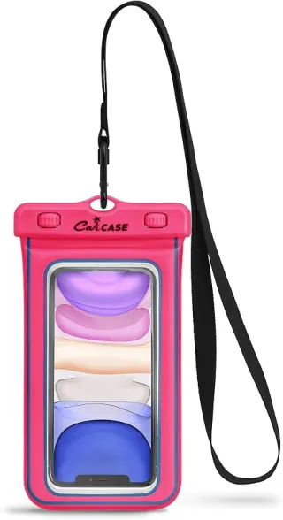
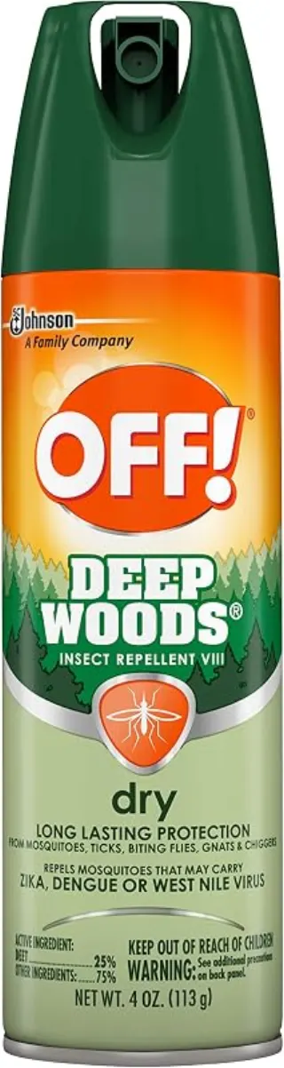
Disclosure: Gear links may earn a commission as an Amazon Associate — at no extra cost to you. Learn more.
Frequently asked questions
Can you swim at Bash Bish Falls?
No. Massachusetts DCR prohibits swimming, diving, and entering the water at Bash Bish Falls State Park. View the falls from designated overlooks only — the gorge has a serious injury and fatality history.
Is Bash Bish Falls free?
Massachusetts-side parking is typically free but very limited. The New York approach via Taconic State Park may have seasonal day-use fees.
How do you get to Bash Bish Falls?
MA: Falls Road in Mount Washington to the DCR lot, then a steep short hike to the viewing area. NY: Taconic State Park near Copake Falls for a longer, gentler trail to the state line.
Where can you swim nearby instead?
Use designated swim beaches in nearby state parks (for example Taconic State Park swim areas when open) rather than the Bash Bish gorge.
Explore more nearby swimming guides
Nearby swimming holes
Map & location
Culture & history
Local lore tells the tragic story of Bash Bish, a Native American woman whose name graces the falls, adding an air of mystique to the site.
Conservation
Follow Leave No Trace principles to protect wildlife and maintain the park’s natural beauty. Respect swimming restrictions near the falls.
Sources & updates
Official land managers cited on this page
Always confirm current rules, closures, and fees on the agency site before visiting.
Spotted outdated access, fees, or safety info? Send a correction with the page URL — we review every submission.