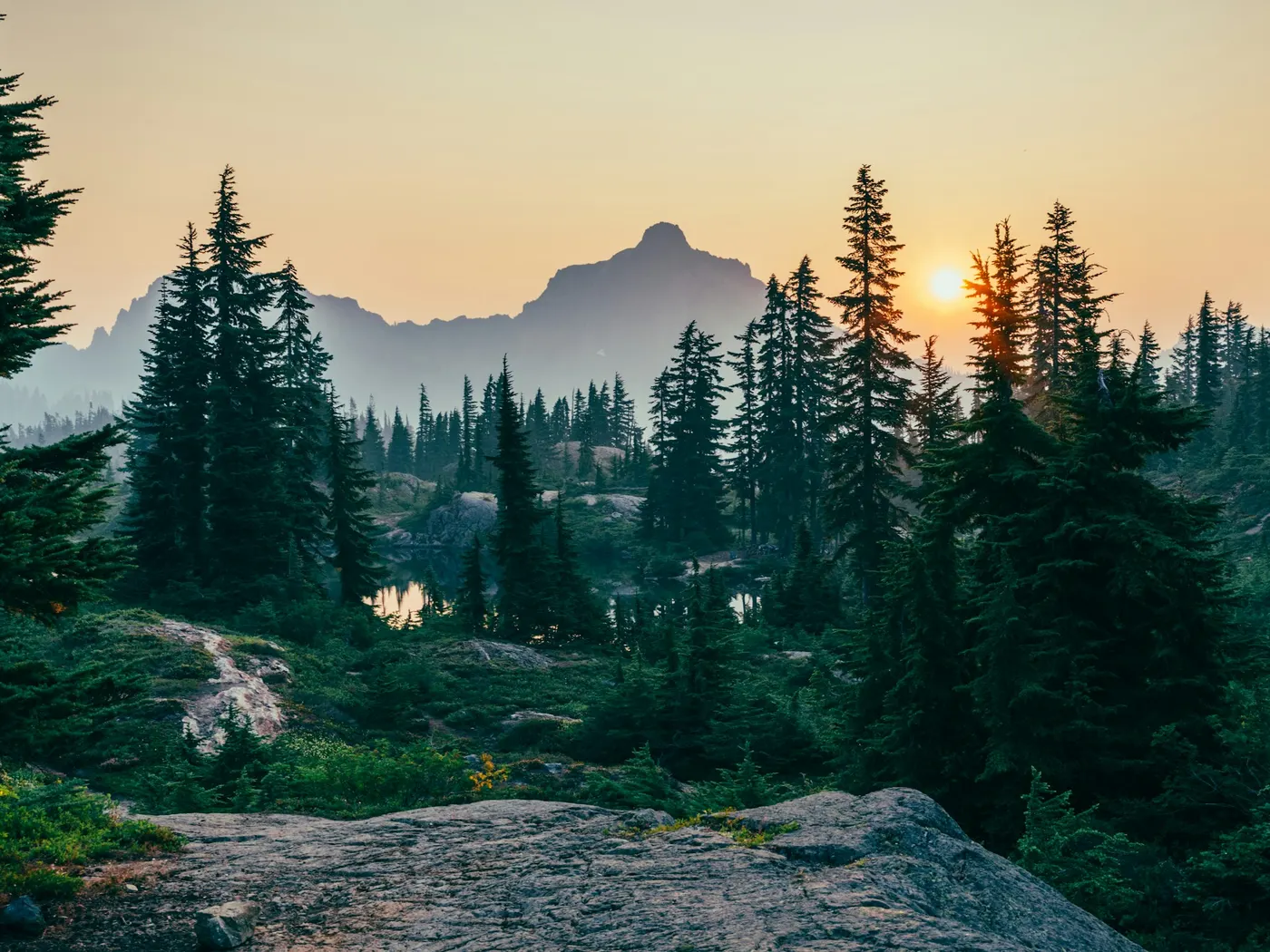
Black Creek Swimming Holes, Mississippi
Swimming hole in Hattiesburg, Mississippi · Creek
Black Creek Swimming Holes, Mississippi is a creek swimming hole. It is near Hattiesburg, Mississippi. Access is free. Best season: Late spring through early autumn for optimal water levels and comfortable temperatures.
Typical season: Late spring through early autumn for optimal water levels and comfortable temperatures
About Black Creek Swimming Holes, Mississippi
Near Hattiesburg in Mississippi, Black Creek Swimming Holes, Mississippi offers a straightforward outdoor swim.
Winding through the heart of Mississippi's De Soto National Forest, Black Creek moves at its own unhurried pace. Dark with tannins from surrounding pine and hardwood forests, cool enough on a summer afternoon to make you catch your breath, and clear enough to watch your feet sink into white sand below.
This is Mississippi's only National Wild and Scenic River, and the string of unofficial . The landscape along Black Creek is defined by contrast. Tall longleaf pines cast long shadows over sandy banks that feel almost coastal. Ancient bluffs drop to the waterline in places, while in others the creek fans out into lazy sandbars perfect for spreading a towel and doing absolutely nothing. You'll hear the creek before you see it. A gentle push of water through cypress roots and fallen timber, punctuated by birdsong and the occasional splash of something wild. Wildlife sightings are common here: herons stalking the shallows, turtles sunning on logs, and the flash of a kingfisher overhead. The ecological diversity of the surrounding national forest gives this corridor a depth that rewards slow, attentive visitors. At Big Creek Landing, rope swings dangle from overhanging trees and bluffs offer a bit of elevation for those feeling bold. The sandy banks at the Ashe Nursery Road Bridge offer a gentler, more open experience. A strong choice for kids or anyone who'd rather wade in than leap. Moody's Landing has a picnic-friendly atmosphere where you can ease into the afternoon without rushing.
Swim at your own risk at Black Creek Swimming Holes, Mississippi. Check conditions after rain and respect any posted closures.
Key facts
Structured details for trip planning — verify access and fees with the land manager before you visit.
- Water type
- Creek
- Water body
- Black Creek
- Fee
- Free
- Nearest town
- Hattiesburg
- State
- Mississippi
- Best season
- Late spring through early autumn for optimal water levels and comfortable temperatures. Summer is a strong choice for swimming, while fall offers vibrant foliage.
- Access difficulty
- Moderate. Most sites are accessible via short hikes or direct parking, but some areas like Beaver Dam Creek require canoeing or longer hikes.
- Parking
- Designated area
- Restrooms
- Yes
- Lifeguard
- Present (seasonal)
- Cliff jumping
- Reported
- Camping
- Camping at sites in the N. F.
- Land manager
- U.S. Forest Service
- Activities
- Swimming, Canoeing
- Facilities
- Amenities vary by site. Some locations, like Moody's Landing and Cypress Creek Landing, offer campsites, picnic areas, and toilets. Others are more rustic with few developed facilities.
- Last verified
- July 11, 2026
The experience
- Best time to visit Late spring through early autumn for optimal water levels and comfortable temperatures. Summer is a strong choice for swimming, while fall offers vibrant foliage.
- Access Moderate. Most sites are accessible via short hikes or direct parking, but some areas like Beaver Dam Creek require canoeing or longer hikes.
- Facilities Amenities vary by site. Some locations, like Moody's Landing and Cypress Creek Landing, offer campsites, picnic areas, and toilets. Others are more rustic with few developed facilities.
- Camping nearby Camping at sites in the N. F.
Highlights & features
- Rope swings and bluffs at Big Creek Landing
- Sandy banks at Ashe Nursery Road Bridge
- Picnic-friendly areas at Moody's Landing
- Cold spring-fed waters near Beaver Dam Creek
- Quick sandbars at Hickory Creek
- Mississippi's only National Wild and Scenic River
- Variety of swimming hole types—from sandy banks to deep basins
- Ecological diversity and wildlife sightings
How to get there
Black Creek Swimming Holes, Mississippi lies in Mississippi near Hattiesburg, Brooklyn. Use these driving notes as a starting point and confirm road conditions before you go. Big Creek Landing Big Creek Landing lies in the De Soto National Forest and serves as the starting point for the Black Creek Float Trip and the trailhead for the Black Creek Trail. There is a nearby . Driving Directions: Bring water, sunscreen, and gear for a primitive swim day. Weekends and holidays can draw more visitors. Check local updates on access and water levels before you leave home.
-
From Hattiesburg, take Route 49 south for about 21 miles to Brooklyn.
Just south of the bridge where Black Creek flows under Route 49, turn west onto Carnes Road. Drive 0.4 miles on Carnes Road and turn right onto Rockhill Brooklyn Road. Continue for 3.4 miles until you see a gravel road on the right with a sign for Big Creek Landing.
-
Turn onto the gravel road, then take the first right (marked with another sign) and follow the road to the parking area.
-
Final Approach
From the parking area, follow the Black Creek Trail (marked with white reflectors) for about 0.7 miles downstream. Look for a side trail on the right leading down to the . Coordinates: 31.06576, -89.24469 Ashe Nursery Road Bridge
-
This . There is a sandbar and creek access on the south side of the bridge. Driving Directions
-
From Brooklyn, travel east on Main Avenue.
When the road forks at a cemetery, bear right onto Ashe Nursery Road. Continue for about 0.5 miles until the road crosses Black Creek.
-
Final Approach
Parking is available on both sides of the bridge, but the creek and sandbar are more accessible from the south side. Coordinates: 31.05286, -89.192505 Moody’s Landing
-
Moody’s Landing is a camping and recreation area in the De Soto National Forest. It features two . Driving Directions
-
From Brooklyn, travel east on Main Avenue.
When the road forks at a cemetery, bear left onto Brooklyn Janice Road. Continue for about 4.7 miles. Moody’s Landing will be on the right.
-
Final Approach
To access the upstream . To access the downstream . The . Coordinates: 31.050857, -89.117146 Janice Landing Janice Landing is a camping and recreation area located at the bridge where Route 29 crosses Black Creek. The water near the boat ramp is deep enough for swimming, though there are no sandbars. Driving Directions: From the intersection of Janice Brooklyn Road and Route 29, travel south on Route 29 for about 2.7 miles. Janice Landing lies on the north side of the bridge.
-
Final Approach
Parking is available near the boat ramp. Coordinates: 30.99424, -89.05088 Cypress Creek Landing Cypress Creek Landing is a camping and recreation area in the De Soto National Forest. The . Facilities include showers, toilets, picnic tables, and campsites with fire pits. Driving Directions:
-
From Janice (at the intersection of Route 29 and Route 301), travel south on Snyder Road for about 3.7 miles.
-
Turn south onto Forest Road 305, then turn right onto Forest Road 305-B to reach the landing.
-
Final Approach
Parking is available at the landing. A canoe launch is also available for downstream trips. Coordinates:
Plan your visit
Black Creek Swimming Holes, Mississippi works well as a day trip from Hattiesburg or Brooklyn. Stock up in town, then head to the water with food, water, and sun protection. Combine the swim with camping at Okatoma Creek or browse more Mississippi creek spots in our directory. For the full list in Mississippi, see our state directory.
Access & fees
All listed spots are unofficial, natural areas with no indicated fee. Facilities are generally limited or unknown; Cypress Creek Landing is noted to have basic amenities. Always verify current access and conditions with the De Soto National Forest ranger district before visiting, as road and creek conditions can change.
Top picks for this trip
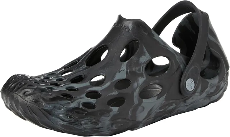
Merrell Hydro Moc
If you want one shoe that handles the walk in, the swim, and the lounge afterward, the Hydro Moc is the easiest pick.
Check price on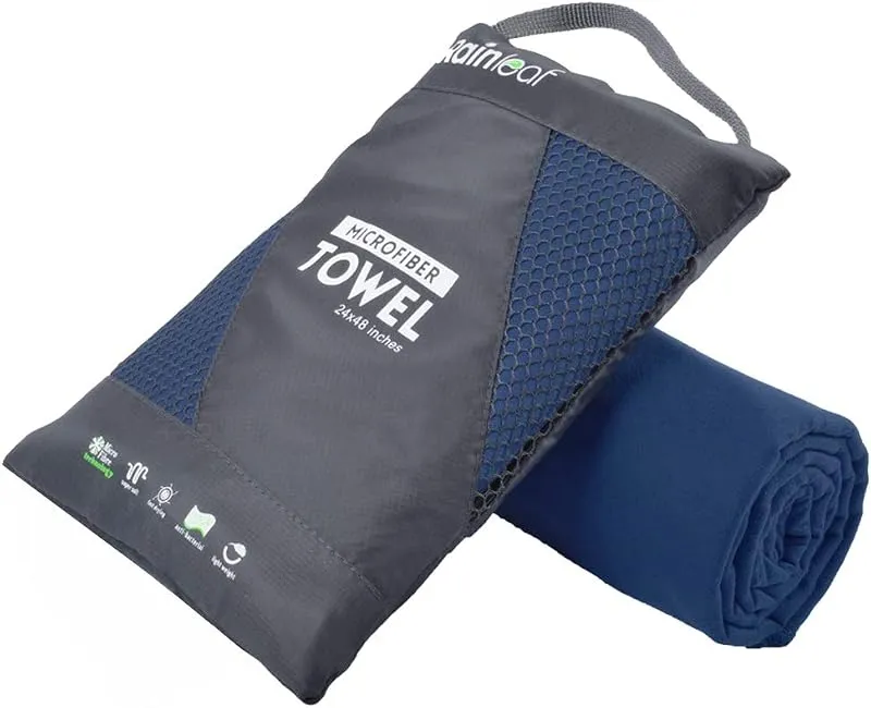
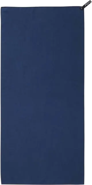
Rainleaf Microfiber Towel
Buy two — a large for drying off and a small for gear — and you still spend less than one cotton beach towel.
Check price onDisclosure: Gear links may earn a commission as an Amazon Associate — at no extra cost to you. Learn more.
What to pack for Black Creek Swimming Holes, Mississippi
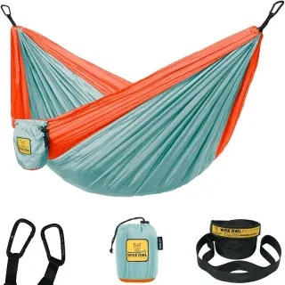
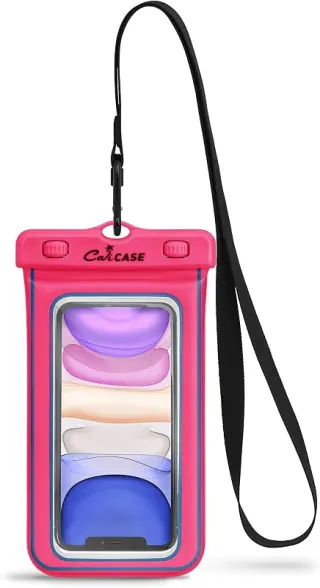
Gear we compare side by side for creek swims like this one — water access, sun, and the hike in.
Disclosure: Gear links may earn a commission as an Amazon Associate — at no extra cost to you. Learn more.
Frequently asked questions
Can you swim at Black Creek Swimming Holes, Mississippi?
Yes. Black Creek Swimming Holes, Mississippi near Hattiesburg and Brooklyn in MS is a creek swimming spot on Black Creek. Scout depth and current before entering — no lifeguards at most natural access points.
Is Black Creek Swimming Holes, Mississippi free?
Access is generally free (fee listed as “No”). Confirm any parking or day-use rules on site, and pack out trash.
How do you get to Black Creek Swimming Holes, Mississippi?
Black Creek Swimming Holes, Mississippi is in MS within day-trip range of Hattiesburg and Brooklyn. Use a current map for the put-in or park entrance; cell service can be limited at remote spots.
Explore more nearby swimming guides
Nearby swimming holes
Culture & history
Black Creek's designation as a National Wild and Scenic River reflects its importance to Mississippi's natural heritage. The area is closely linked to the Pine Belt region's history and forestry industry.
Conservation
The Black Creek Area is protected as part of the National Wild and Scenic River system. Visitors should follow Leave No Trace principles and avoid disturbing wildlife.
Sources & updates
Official land managers cited on this page
Always confirm current rules, closures, and fees on the agency site before visiting.
Spotted outdated access, fees, or safety info? Send a correction with the page URL — we review every submission.