Half Bushel
Swimming hole in Fort Smith, Arkansas · Creek
Half Bushel is a creek swimming hole. It is near Fort Smith, Arkansas. Access is free. Best season: Spring through early fall (April to October) offers the best conditions for.
Typical season: Spring through early fall (April to October) offers the best conditions for
About Half Bushel
Half Bushel sits in Arkansas along Big Shoal Creek. Swimmers come for a natural day on the water without resort amenities.
Carved into the landscape by Big Shoal Creek, this unofficial . Roughly the size of a half bushel basket. Eroded into the face of a dramatic 40- to 50-foot rock cliff, sitting about 25 feet above the waterline.
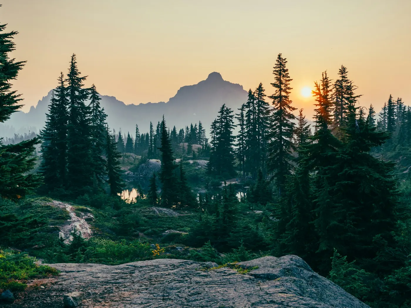
It's the kind of geological oddity that makes you stop mid-stroke and stare. The cliff face dominates the scene, streaked with mineral colors and worn smooth in places by centuries of water and wind. Big Shoal Creek runs clear and cool beneath it, threading through a corridor of hardwood forest that shifts with the seasons. Brilliant greens in summer, a full blaze of amber and crimson come autumn. The surrounding Ozark National Forest gives the area a sense of depth and wildness that's hard to replicate. Birdsong carries across the water, and the air smells of creek rock and leaf litter. In spring, wildflowers press in along the banks. By midsummer, the canopy closes overhead and the whole hollow feels like a green cathedral. The kind of cold that makes you gasp on entry and feel entirely alive a moment later. For thrill-seekers, the cliff presents jumping opportunities, though the site is unofficial and entirely unmonitored. There are no lifeguards or safety staff on site, and conditions vary with rainfall and season.
Swim at your own risk at Half Bushel. Check conditions after rain and respect any posted closures.
Key facts
Structured details for trip planning — verify access and fees with the land manager before you visit.
- Water type
- Creek
- Water body
- Big Shoal Creek
- Fee
- Free
- Nearest town
- Fort Smith
- State
- Arkansas
- Coordinates
- 35.26658, -93.50753
- Best season
- Spring through early fall (April to October) offers the best conditions for . Summer is a strong choice for warm water, while autumn showcases stunning foliage.
- Access difficulty
- Moderate. The .
- Parking
- Designated area
- Lifeguard
- Present (seasonal)
- Cliff jumping
- Reported
- Camping
- There are several Ozark N. F. Campgrounds just south of here.
- Land manager
- U.S. Forest Service
- Activities
- Swimming, maybe jumping
- Facilities
- There are no facilities directly at Half Bushel, but campsites are available nearby in the Ozark National Forest. Plan ahead and bring necessary supplies.
- Last verified
- May 12, 2026
The experience
- Best time to visit Spring through early fall (April to October) offers the best conditions for . Summer is a strong choice for warm water, while autumn showcases stunning foliage.
- Access Moderate. The .
- Facilities There are no facilities directly at Half Bushel, but campsites are available nearby in the Ozark National Forest. Plan ahead and bring necessary supplies.
- Camping nearby There are several Ozark N. F. Campgrounds just south of here.
Highlights & features
- Dramatic rock cliff with unique geological features
- Clear, refreshing waters ideal for swimming
- Seasonal beauty with vibrant foliage and wildlife
- Cliff jumping opportunities for thrill-seekers
- Located in the scenic Ozark National Forest
- Distinctive 'half bushel'-shaped cavity in the cliff
- Picturesque location in the Ozark National Forest
- Blend of adventure and tranquility
How to get there
Half Bushel lies in Arkansas near Fort Smith, Clarksville, and Scranton. Use these driving notes as a starting point and confirm road conditions before you go. Bring water, sunscreen, and gear for a primitive swim day. Weekends and holidays can draw more visitors. Check local updates on access and water levels before you leave home.
-
Starting Point: Fort Smith, AR
Begin your journey by heading east on Interstate 40 (I-40). Continue for about 50 miles until you reach Exit 57 near the town of Clarksville. From Clarksville: 3. Take State Route 109 (RT 109) south.
-
4. Drive for about 15 miles, passing through the town of Scranton, until you reach Midway.
From Midway:
-
5. In Midway, turn left (east) onto State Route 22 (RT 22).
-
6. Continue for about 0.5 miles, then turn right (south) onto Sorghum Hollow Road.
On Sorghum Hollow Road:
-
7. Drive for about 2 miles along Sorghum Hollow Road, which lies within the Ozark National Forest.
-
8. You will arrive at Shoal Creek Bridge. Finding Half Bushel
-
9. Stop on the bridge and look about 100 yards to your left.
-
10. You will see a rock cliff that is about 40 to 50 feet high. Look about 25 feet up the cliff to spot a hole roughly the size of a half bushel. This is the landmark for the .
-
Additional Information
-
Parking
There is limited parking available near the bridge. Be sure to park safely and avoid blocking the road or access points. Trailhead Access: There is no formal trailhead, but the . Exercise caution when approaching the cliff and surrounding terrain. Safety Reminder: The area is part of the National Forest, so be mindful of wildlife and natural hazards. Always pack out any trash and respect the environment. Have a safe visit to Half Bushel!
Plan your visit
Half Bushel works well as a day trip from Fort Smith or Clarksville. Stock up in town, then head to the water with food, water, and sun protection. Combine the swim with camping at Blue Hole - Wolf Den or browse more Arkansas creek spots in our directory. For the full list in Arkansas, see our state directory.
Access & fees
Access is unofficial and at your own risk. Parking is limited near the Shoal Creek Bridge. No fees are indicated, but this does not guarantee free access. The area is within Ozark National Forest; follow all forest regulations and Leave No Trace principles.
Top picks for this trip
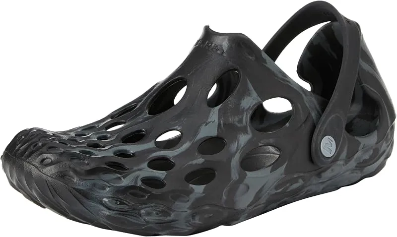
Merrell Hydro Moc
If you want one shoe that handles the walk in, the swim, and the lounge afterward, the Hydro Moc is the easiest pick.
Check price on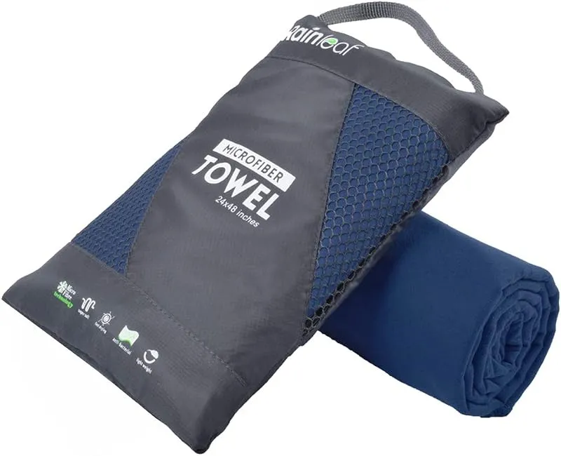
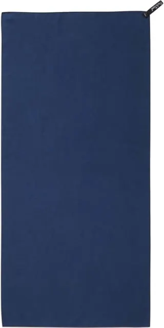
Rainleaf Microfiber Towel
Buy two — a large for drying off and a small for gear — and you still spend less than one cotton beach towel.
Check price onDisclosure: Gear links may earn a commission as an Amazon Associate — at no extra cost to you. Learn more.
What to pack for Half Bushel
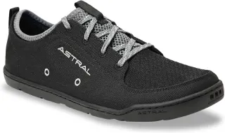
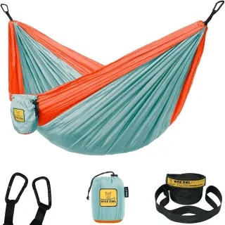
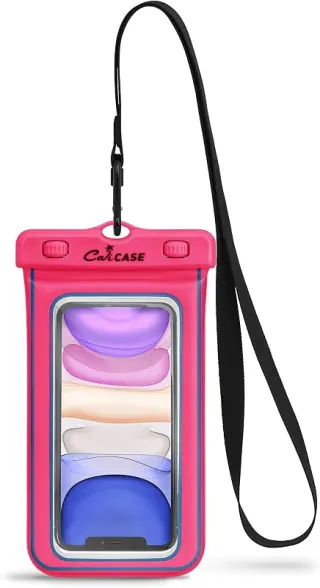
Gear we compare side by side for creek swims like this one — water access, sun, and the hike in.
Disclosure: Gear links may earn a commission as an Amazon Associate — at no extra cost to you. Learn more.
Frequently asked questions
Can you swim at Half Bushel?
Yes. Half Bushel near Fort Smith, Clarksville, and Scranton in AR is a creek swimming spot on Big Shoal Creek. Scout depth and current before entering — no lifeguards at most natural access points.
Is Half Bushel free?
Access is generally free (fee listed as “None”). Confirm any parking or day-use rules on site, and pack out trash.
How do you get to Half Bushel?
Half Bushel is in AR within day-trip range of Fort Smith, Clarksville, and Scranton. Use a current map for the put-in or park entrance; cell service can be limited at remote spots.
Explore more nearby swimming guides
Nearby swimming holes
Map & location
Culture & history
The area is steeped in history, with ties to early settlers and Native American heritage. Local legends about the cliff add depth to its cultural significance.
Conservation
Visitors should adhere to Leave No Trace principles, avoid littering, respect wildlife, and stay on designated paths to minimize environmental impact.
Sources & updates
Official land managers cited on this page
Always confirm current rules, closures, and fees on the agency site before visiting.
Spotted outdated access, fees, or safety info? Send a correction with the page URL — we review every submission.