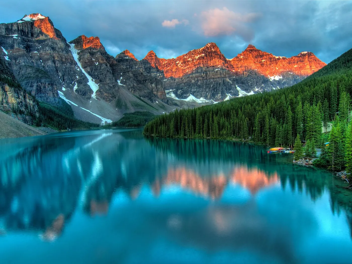
Pickle Fork
Swimming hole in Ashland, Kentucky · Lake
Pickle Fork is a lake swimming hole. It is near Ashland, Kentucky. Access is free. Best season: Summer for.
Typical season: Summer for
About Pickle Fork
Near Ashland in Kentucky, Pickle Fork offers a straightforward outdoor swim on Paintsville Lake.
Sitting along the shores of Paintsville Lake, this entirely undeveloped, unofficial spot draws visitors with its dramatic cliff faces, clear lake water, and the kind of deep Appalachian quiet that's getting harder and harder to find. There are no fees, no facilities, and no lifeguards. Just you, the water, and the ancient ridgelines of the Cumberland Plateau rising all around you. Paintsville Lake stretches across the hills of Lawrence and Johnson counties in a long, winding ribbon of blue-green water hemmed in by dense, deciduous forest. At Pickle Fork, the shoreline gives way to a series of cliff faces ranging from roughly 20 to 30 feet in height. Worn smooth by time and decorated with the kinds of mosses and ferns that thrive in the humid Kentucky summers. In summer, the forest canopy overhead is a cathedral of green, buzzing with insects and punctuated by birdsong. Come spring and fall, those same hillsides ignite with wildflowers and the fiery reds and golds that make Appalachian foliage season one of the most underrated spectacles in the eastern United States.
Even in winter, when the crowds have vanished entirely, the stark beauty of bare branches reflected in still water offers something genuinely moving for those willing to make the trek. A fact that is both thrilling and sobering when you're standing on the edge deciding whether to jump. If you plan to jump from the cliffs, always verify water depth and look for submerged hazards before leaping. Conditions can change seasonally, and no safety personnel are present on-site. Swimmers of all experience levels can enjoy the quieter, shallower areas near the shoreline, while the cliffs draw the more adventurous crowd. The secluded atmosphere means you may have the whole place to yourself on a weekday, though summer weekends can attract local families and groups. The site is accessible via a short hike, and the terrain rates as moderate. Manageable for most visitors but worth wearing sturdy shoes.
Treat Pickle Fork as a wild swim: no lifeguard, variable depth, and rules that can change by season.
Key facts
Structured details for trip planning — verify access and fees with the land manager before you visit.
- Water type
- Lake
- Water body
- Paintsville Lake
- Fee
- Free
- Nearest town
- Ashland
- State
- Kentucky
- Coordinates
- 37.85244, -82.89696
- Best season
- Summer for .
- Access difficulty
- Moderate: Requires navigating winding roads and a short hike; cliffs require caution for jumping.
- Parking
- Limited / restricted
- Lifeguard
- Present (seasonal)
- Cliff jumping
- Reported
- Camping
- Paintsville Lake S. P. (on the east side of the lake, near Saffordville) has camping.
- Land manager
- U.S. Forest Service
- Activities
- Swimming, Jumping (verify safety first)
- Facilities
- No facilities available on-site. You should bring essentials like water, snacks, and first aid supplies.
- Last verified
- May 12, 2026
The experience
- Best time to visit Summer for .
- Access Moderate: Requires navigating winding roads and a short hike; cliffs require caution for jumping.
- Facilities No facilities available on-site. You should bring essentials like water, snacks, and first aid supplies.
- Camping nearby Paintsville Lake S. P. (on the east side of the lake, near Saffordville) has camping.
Highlights & features
- Dramatic cliffs for jumping
- Crystal-clear waters
- Lush forest surroundings
- Seasonal beauty and foliage
- Wildlife and photography opportunities
- Cliff heights ranging from 20-30 feet
- Secluded atmosphere with no facilities
- Rich wildlife and plant life
How to get there
Pickle Fork lies in Kentucky near Ashland, Louisa, and Paintsville Ridge. Use these driving notes as a starting point and confirm road conditions before you go. Bring water, sunscreen, and gear for a primitive swim day. Weekends and holidays can draw more visitors. Check local updates on access and water levels before you leave home.
-
Starting Point: Interstate 64 (I-64)
Begin your journey on I-64 and follow it eastward until you reach the Bert T. Combs Mountain Parkway. Continue on I-64 as it transitions into Route 460 (RT 460). You will drive through the scenic Daniel Boone National Forest during this stretch. Route 460 to Salyersville
-
3. When the Bert T. Combs Mountain Parkway becomes RT 460, turn left at the RT 460 junction toward Salyersville.
-
4. Follow RT 460 into downtown Salyersville. The road will eventually intersect with Route 40 (RT 40) at a traffic light.
Route 40 to Oil Springs
-
5. At the traffic light, turn right onto RT 40, heading toward the town of Oil Springs. Stay on RT 40 for about 15, 20 minutes. Route 580 Turnoff
-
6. Look for the intersection of RT 40 and Route 580 (RT 580). A helpful landmark is the Oil Springs United Methodist Church, a white building located at this corner. Turn left onto RT 580.
Route 580 to Route 2318
-
7. Follow RT 580 for about 8 miles. Along the way, you may notice signs for the Paintsville Lake Outdoor Education Center, which will be on your left. Continue past this location.
-
8. Watch for County Route 2318 (RT 2318). Turn left onto RT 2318. If you pass Colvin Branch Road, you’ve gone too far.
-
Final Approach to Pickle Fork
-
9. Follow RT 2318 for about 1/4 mile. The road will curve to the left. Shortly after the curve, you will see a white gate on the right-hand side. Note that there is a "No Parking" sign on the gate, but parking is permitted elsewhere along the roadside. Trailhead and
-
10. Park safely along the roadside near the gate and walk down the path behind the gate for about 100, 200 yards. As you near the end of the path, look to your right for a break in the trees. This opening will lead you to two cliffs: one about 30 feet high and another about 25 feet high.
-
Helpful notes
Ensure your vehicle is parked legally and does not obstruct traffic or private property. Wear sturdy shoes for the short hike, as the path may be uneven. Exercise caution near the cliffs and . Have a safe visit to Pickle Fork!
Plan your visit
Pickle Fork works well as a day trip from Ashland or Louisa. Stock up in town, then head to the water with food, water, and sun protection. Combine the swim with camping at Clear Creek or browse more Kentucky lake spots in our directory. For the full list in Kentucky, see our state directory.
Access & fees
This is an unofficial, unsanctioned recreation site with no facilities. Parking is roadside near a white gate; obey all posted signs. Access is at your own risk. The area may be on or adjacent to public lands managed by the U.S. Army Corps of Engineers for Paintsville Lake.
Top picks for this trip
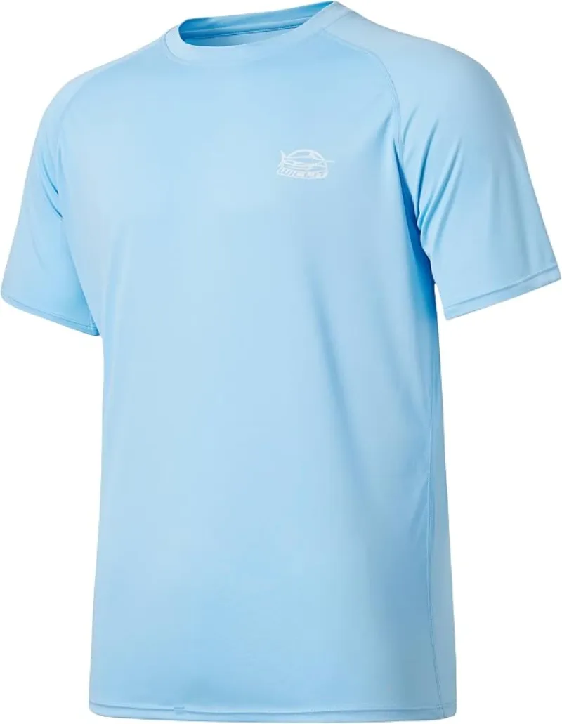
Willit Rashguard Swim Shirt UPF 50+
The best all-around sun shirt for swimming holes — light enough to swim in, dry enough to hike out in.
Check price on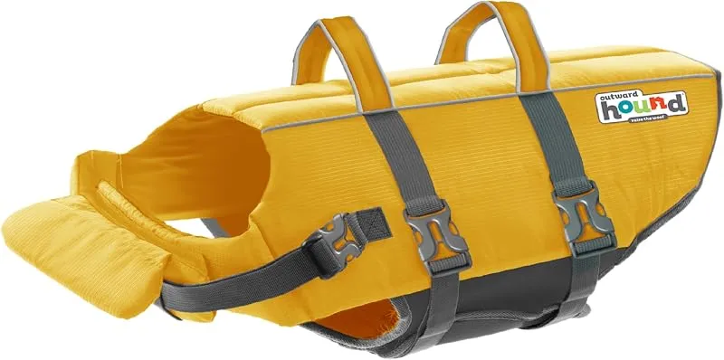
Outward Hound Granby Splash Life Jacket
The best all-around dog swim float for natural water — as long as the hole is calm and you stay hands-on.
Check price onDisclosure: Gear links may earn a commission as an Amazon Associate — at no extra cost to you. Learn more.
What to pack for Pickle Fork
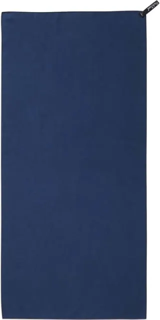
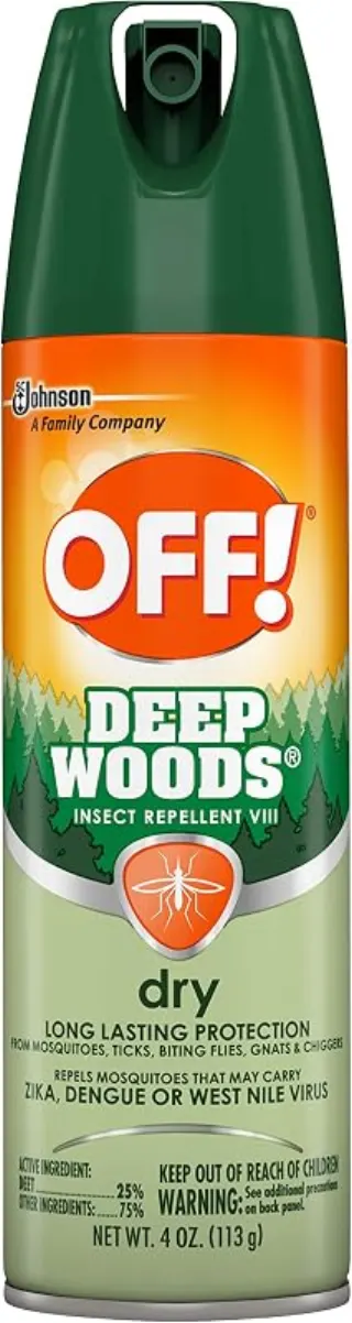
Gear we compare side by side for lake swims like this one — water access, sun, and the hike in.

Disclosure: Gear links may earn a commission as an Amazon Associate — at no extra cost to you. Learn more.
Frequently asked questions
Can you swim at Pickle Fork?
Yes. Pickle Fork near Ashland, Louisa, and Paintsville Ridge in KY is a lake swimming spot on Paintsville Lake. Scout depth and current before entering — no lifeguards at most natural access points.
Is Pickle Fork free?
Access is generally free (fee listed as “No”). Confirm any parking or day-use rules on site, and pack out trash.
How do you get to Pickle Fork?
Pickle Fork is in KY within day-trip range of Ashland, Louisa, and Paintsville Ridge. Use a current map for the put-in or park entrance; cell service can be limited at remote spots.
Explore more nearby swimming guides
Nearby swimming holes
Map & location
Culture & history
Linked to Appalachian history and folklore; Paintsville Lake’s creation enhanced the region’s recreational opportunities.
Conservation
Follow Leave No Trace principles. Avoid littering, respect wildlife, and preserve the untouched beauty of the area.
Sources & updates
Official land managers cited on this page
Always confirm current rules, closures, and fees on the agency site before visiting.
Spotted outdated access, fees, or safety info? Send a correction with the page URL — we review every submission.