Riga Falls
Swimming hole in Salisbury, Connecticut · Creek
Riga Falls is a creek swimming hole. It is near Salisbury, Connecticut. Access is free. Best season: Late spring to early summer for the strongest water flow and refreshing temperatures.
Typical season: Late spring to early summer for the strongest water flow and refreshing temperatures
About Riga Falls
Near Salisbury in Connecticut, Riga Falls offers a straightforward outdoor swim on Wachocastinook Creek.
Cascading down Wachocastinook Creek within the protected embrace of the Mount Riga Preserve, this unofficial wading and .
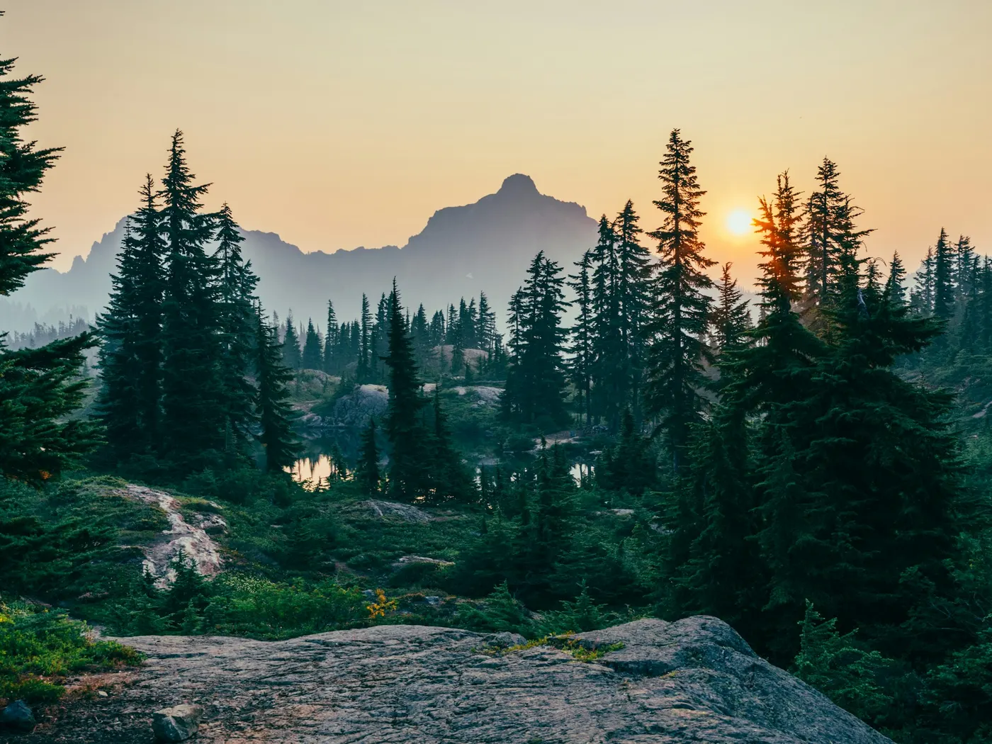
The air here smells of moss and cold water, the forest canopy filters the light into shifting, golden patterns, and the sound of the falls drowns out everything else the moment you arrive. The Mount Riga Preserve sits high on the Taconic Plateau, a rugged, forested landscape that feels wilder than most of Connecticut suggests. Wachocastinook Creek carves its way through ancient rock, dropping over ledges to form the falls that give this spot its name. The terrain surrounding the water is steep and intimate. Stone walls draped in lichen, hemlocks leaning over the current, and in autumn, a full riot of color that turns the hillside into something almost unreasonably picturesque. In late spring and early summer, snowmelt and rain keep the falls surging and powerful, while summer visits reveal calmer pools a strong choice for wading and lingering. The place carries history, too: the preserve's name is a nod to the 18th-century ironworks that once operated in this remote corner of Salisbury, giving the landscape a quiet, storied weight beneath its natural beauty.
Swim at your own risk at Riga Falls. Check conditions after rain and respect any posted closures.
Key facts
Structured details for trip planning — verify access and fees with the land manager before you visit.
- Water type
- Creek
- Water body
- Wachocastinook Creek
- Fee
- Free
- Nearest town
- Salisbury
- State
- Connecticut
- Coordinates
- 42.00513, -73.42123
- Best season
- Late spring to early summer for the strongest water flow and refreshing temperatures; autumn for stunning foliage; summer for wading and swimming.
- Access difficulty
- Moderate; steep and narrow trail requires caution, especially after rain.
- Parking
- Designated area
- Restrooms
- Yes
- Lifeguard
- Present (seasonal)
- Camping
- No camping is allowed.
- Activities
- Wading
- Facilities
- No amenities are available. You should come prepared with water, snacks, and any necessary gear.
- Last verified
- May 12, 2026
The experience
- Best time to visit Late spring to early summer for the strongest water flow and refreshing temperatures; autumn for stunning foliage; summer for wading and swimming.
- Access Moderate; steep and narrow trail requires caution, especially after rain.
- Facilities No amenities are available. You should come prepared with water, snacks, and any necessary gear.
- Camping nearby No camping is allowed.
Highlights & features
- Crystal-clear creek perfect for wading
- Located in the peaceful Mount Riga Preserve
- Spectacular seasonal views
- Rich local history
- Abundant photography opportunities
- Historic connection to 18th-century ironworks
- Seasonal transformations from vibrant waterfalls to frozen cascades
- Secluded and tranquil location within a preserved natural area
How to get there
Riga Falls lies in Connecticut near Salisbury, Norfolk, and Torrington. Use these driving notes as a starting point and confirm road conditions before you go. Riga Falls lies within the Mount Riga Preserve in Salisbury, Connecticut. Use these driving notes to reach the parking area and access the trail leading to the . Bring water, sunscreen, and gear for a primitive swim day. Weekends and holidays can draw more visitors. Check local updates on access and water levels before you leave home.
-
Starting Point
Intersection of Route 44 and Route 41 in Salisbury, CT.
-
Head West on Route 44
From the intersection of Route 44 and Route 41, drive west on Route 44 toward the center of Salisbury. Turn Right onto Washinee/Factory Street: Shortly after passing the large white Salisbury Town Hall building on your left, turn right onto Washinee Street (also known as Factory Street). Note that this street may have dual signage, but both names refer to the same road. Follow Signs for Mount Riga: Continue on Washinee/Factory Street for about 0.7 miles. At this point, bear right to stay on the road and follow the signs for Mount Riga. Transition to Dirt Road: At 1.2 miles, the paved road transitions into a dirt road. Continue driving straight.
-
Enter Mount Riga Preserve
At 1.5 miles, you will cross a small bridge and enter the Mount Riga Preserve. The dirt road becomes narrow and winding, so proceed cautiously and be alert for oncoming vehicles. Reach the Parking Area: At about 2.9 miles, you will see a pullout/parking area on the right side of the road. Park your vehicle here.
-
Trail Access and Final Approach
From the parking area, locate the trailhead leading down to Riga Falls. The trail is steep and may require careful footing, so wear sturdy shoes and exercise caution as you descend. The trail leads directly to the . Be mindful of slippery rocks near the water and respect the natural environment.
-
Additional Notes
The dirt road leading to the parking area is narrow and may have limited visibility in some sections. Drive slowly and yield to oncoming traffic when necessary. The parking area is unpaved and may have limited space during busy times. Plan accordingly and arrive early if possible. There are no facilities at Riga Falls, so pack out all trash and belongings to preserve the area’s natural beauty. Have a safe visit to Riga Falls!
Plan your visit
Riga Falls works well as a day trip from Salisbury or Norfolk. Stock up in town, then head to the water with food, water, and sun protection. Combine the swim with camping at Chaplin Natchaug River Swimming Spots or browse more Connecticut creek spots in our directory. For the full list in Connecticut, see our state directory.
Access & fees
Access is via a narrow, winding dirt road within Mount Riga Preserve. Parking is an unpaved pullout with limited space. There are no facilities (restrooms, changing areas) or fees. The site is unofficial and not staffed; visitors assume all risks and must pack out all trash.
Top picks for this trip
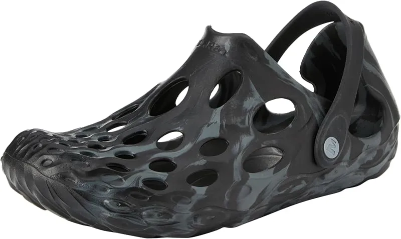
Merrell Hydro Moc
If you want one shoe that handles the walk in, the swim, and the lounge afterward, the Hydro Moc is the easiest pick.
Check price on
Rainleaf Microfiber Towel
Buy two — a large for drying off and a small for gear — and you still spend less than one cotton beach towel.
Check price onDisclosure: Gear links may earn a commission as an Amazon Associate — at no extra cost to you. Learn more.
What to pack for Riga Falls
Gear we compare side by side for creek swims like this one — water access, sun, and the hike in.
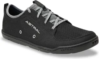

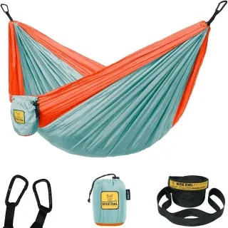

Disclosure: Gear links may earn a commission as an Amazon Associate — at no extra cost to you. Learn more.
Frequently asked questions
Can you swim at Riga Falls?
Yes. Riga Falls near Salisbury, Norfolk, and Torrington in CT has waterfall / cascade pools on Wachocastinook Creek used for swimming. Rocks are slippery and there are no lifeguards at informal access.
Is Riga Falls free?
Access is generally free (fee listed as “No”). Confirm any parking or day-use rules on site, and pack out trash.
How do you get to Riga Falls?
Riga Falls is in CT within day-trip range of Salisbury, Norfolk, and Torrington. Use a current map for the put-in or park entrance; cell service can be limited at remote spots.
Explore more nearby swimming guides
Nearby swimming holes
Map & location
Culture & history
The Mount Riga area holds historical significance due to its past as an ironworking hub. It is now a preserved site reflecting the region’s natural and industrial heritage.
Conservation
Follow Leave No Trace principles to protect the ecosystem. No camping or facilities available, so pack out all trash and respect the natural habitat.
Sources & updates
Spotted outdated access, fees, or safety info? Send a correction with the page URL — we review every submission.