Rye
Swimming hole in Little Rock, Arkansas · River
Rye is a river swimming hole. It is near Little Rock, Arkansas. Fee varies. Best season: Spring brings lush greenery and mild waters, summer offers the warmest temperatures for swimming, and autumn adds vibrant foliage for a scenic experience.
Typical season: Spring brings lush greenery and mild waters, summer offers the warmest temperatures for swimming, and autumn adds vibrant foliage for a scenic experience
About Rye
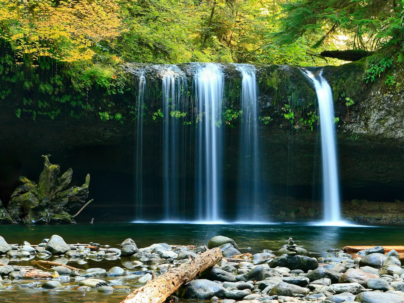
Near Little Rock in Arkansas, Rye offers a straightforward outdoor swim on Saline River.
There are no crowds, no snack bars, and no lifeguards here.
What you get instead is something harder to find: an honest stretch of Arkansas river, wild and unhurried, where the most complicated decision is whether to wade in slowly or just jump. The Saline River moves through a landscape of dense Southern woodland, its banks lined with hardwoods and river birch that lean over the water like curious onlookers. The riverbed transitions through stretches of sandstone, giving the water a warm amber tone in certain light and a glassy clarity in others. Herons pick their way along the shallows with aristocratic patience, while turtles sun themselves on half-submerged logs. In spring, the surrounding forest erupts into deep greens, and the mild river temperature makes for an invigorating swim. Come summer, the canopy thickens overhead, dappling the water with shifting light, and the river warms to a genuinely refreshing temperature on hot Arkansas afternoons. Return in autumn and the whole scene transforms. The treeline blazes with reds and golds reflected in the dark water below. The sandstone riverbed underfoot gives you solid footing in the shallows, though the terrain along the banks can be uneven and slippery. Water shoes are strongly recommended.
Swim at your own risk at Rye. Check conditions after rain and respect any posted closures.
Key facts
Structured details for trip planning — verify access and fees with the land manager before you visit.
- Water type
- River
- Water body
- Saline River
- Fee
- Fee varies
- Nearest town
- Little Rock
- State
- Arkansas
- Coordinates
- 33.70097, -92.02650
- Best season
- Spring brings lush greenery and mild waters, summer offers the warmest temperatures for swimming, and autumn adds vibrant foliage for a scenic experience. Early morning or late afternoon ensures the best lighting for photography.
- Access difficulty
- Moderate. Access is straightforward via major highways, but the riverbank terrain can be uneven and slippery. Water shoes are recommended.
- Parking
- Designated area
- Lifeguard
- Present (seasonal)
- Camping
- No camping at site. Camping Mark's Mill Battleground Historical Monument northwest of here.
- Activities
- Swimming
- Facilities
- There are no facilities at Rye, so you should plan accordingly. Bring all necessary supplies, including water, snacks, and towels. Camping is available at Mark’s Mill Battleground Historical Monument nearby.
- Last verified
- May 12, 2026
The experience
- Best time to visit Spring brings lush greenery and mild waters, summer offers the warmest temperatures for swimming, and autumn adds vibrant foliage for a scenic experience. Early morning or late afternoon ensures the best lighting for photography.
- Access Moderate. Access is straightforward via major highways, but the riverbank terrain can be uneven and slippery. Water shoes are recommended.
- Facilities There are no facilities at Rye, so you should plan accordingly. Bring all necessary supplies, including water, snacks, and towels. Camping is available at Mark’s Mill Battleground Historical Monument nearby.
- Camping nearby No camping at site. Camping Mark's Mill Battleground Historical Monument northwest of here.
Highlights & features
- Clear, cool waters ideal for swimming
- Wildlife sightings including herons and turtles
- Scenic photography opportunities at sunrise and sunset
- Geological features like sandstone riverbeds
- Peaceful atmosphere with no facilities
- Untouched natural setting with no facilities
- Historical connection to the Saline River's regional significance
- Diverse wildlife and plant life
How to get there
Rye lies in Arkansas near Little Rock, Benton, and Sheridan. Use these driving notes as a starting point and confirm road conditions before you go. Bring water, sunscreen, and gear for a primitive swim day. Weekends and holidays can draw more visitors. Check local updates on access and water levels before you leave home.
-
Starting Point: Little Rock, AR
Begin your journey in Little Rock, AR. Take Interstate 30 (I-30) southwest for about 15 miles to reach the Benton area. From Benton to Sheridan
-
2. From Benton, exit onto State Route 35 (RT 35) and head southeast for about 17 miles. This will take you to Sheridan, AR.
From Sheridan to Fordyce
-
3. In Sheridan, merge onto State Route 167 (RT 167) heading south. Continue on RT 167 for about 40 miles until you arrive in Fordyce, AR.
From Fordyce to Warren
-
4. From Fordyce, take State Route 8 (RT 8) southeast for about 28 miles to reach Warren, AR.
From Warren to Rye
-
5. In Warren, transition to State Route 63 (RT 63) and head north toward Rye. Note that some maps may refer to this road as State Route 15 (RT 15), but RT 63 is the primary designation. Continue north until you reach Rye, where the road crosses the Saline River.
-
Final Approach to the
-
6. The . Look for parking areas near the bridge or along the roadside where it is safe to park. Be mindful of private property and ensure you park in designated public areas.
-
Helpful notes
There may be trails or paths leading down to the river from the roadside or parking areas. Exercise caution when navigating these paths, as they may be uneven or slippery. Bring appropriate footwear for walking near the riverbank, and Bring all necessary supplies for . Always check local conditions, such as water levels and weather, before swimming. Have a safe visit to the Rye !
Plan your visit
Rye works well as a day trip from Little Rock or Benton. Stock up in town, then head to the water with food, water, and sun protection. Combine the swim with camping at Farindale or browse more Arkansas river spots in our directory. For the full list in Arkansas, see our state directory.
Access & fees
Access is via roadside parking near the bridge in Rye. Be mindful of private property and only park in areas that do not block traffic or driveways. There is no information available regarding fees or official sanctioning for this site. Paths to the river may be informal and uneven.
Top picks for this trip

Hydro Flask Wide Mouth Bottle
A do-everything bottle that holds ice through a full hot day at the water.
Check price on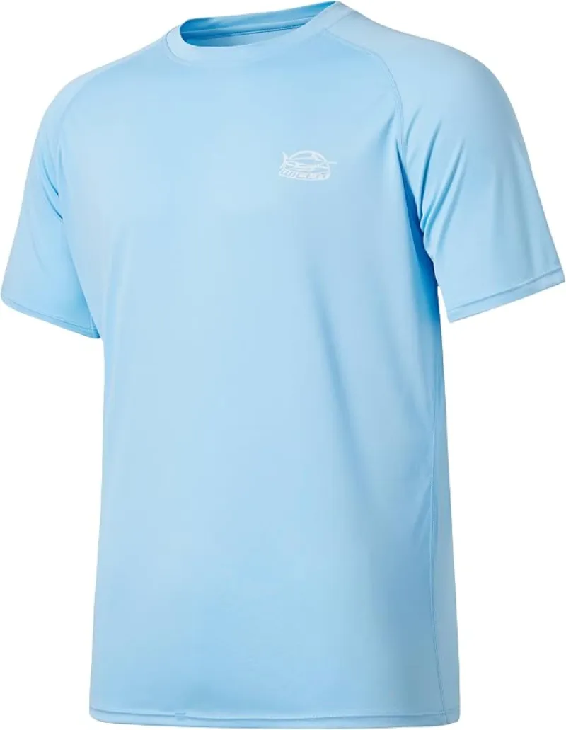
Willit Rashguard Swim Shirt UPF 50+
The best all-around sun shirt for swimming holes — light enough to swim in, dry enough to hike out in.
Check price onDisclosure: Gear links may earn a commission as an Amazon Associate — at no extra cost to you. Learn more.
What to pack for Rye
Gear we compare side by side for river swims like this one — water access, sun, and the hike in.


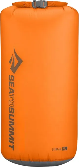
Disclosure: Gear links may earn a commission as an Amazon Associate — at no extra cost to you. Learn more.
Frequently asked questions
Can you swim at RYE?
Yes. RYE near Little Rock, Benton, and Sheridan in AR is a river swimming spot on Saline River. Scout depth and current before entering — no lifeguards at most natural access points.
How much does RYE cost?
Plan for fees: Unknown. Rates and policies change — verify with the land manager before you drive.
How do you get to RYE?
RYE is in AR within day-trip range of Little Rock, Benton, and Sheridan. Use a current map for the put-in or park entrance; cell service can be limited at remote spots.
Explore more nearby swimming guides
Nearby swimming holes
Map & location
Culture & history
The Saline River has historically supported the surrounding communities, and Rye’s nearby towns reflect Arkansas’ blend of rural charm and historical significance. The region is steeped in Civil War history and timber industry roots.
Conservation
Visitors should adhere to Leave No Trace principles, avoid littering, and respect local wildlife and flora to maintain the pristine condition of the swimming hole.
Sources & updates
Spotted outdated access, fees, or safety info? Send a correction with the page URL — we review every submission.