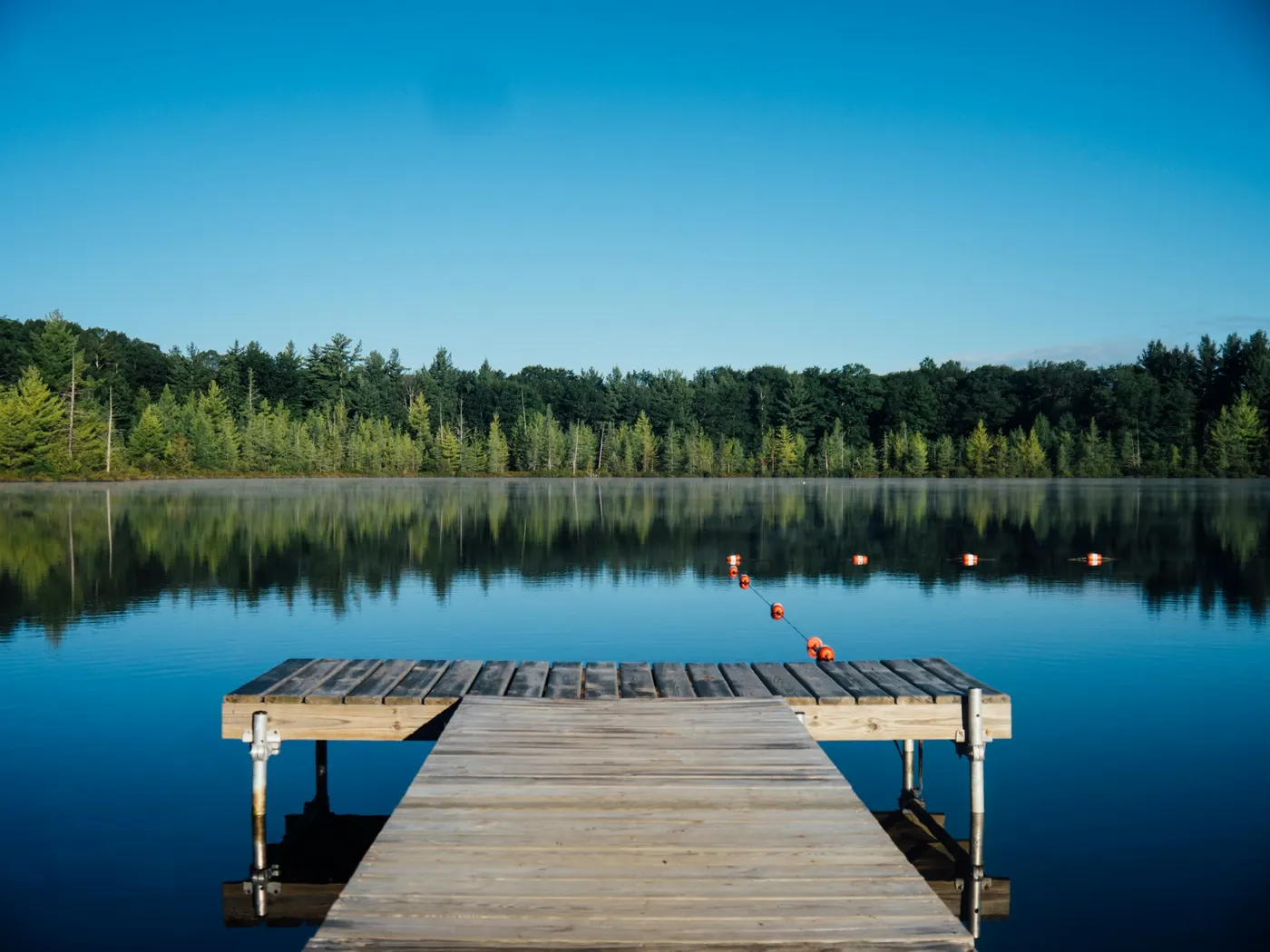
Santa Cruz Region Swimming Spots
Swimming hole in San Jose, California · Other
Santa Cruz Region Swimming Spots is a natural swimming hole. It is near San Jose, California. Fee varies. Best season: Spring through early summer (April to June) for high water levels and blooming flora.
Typical season: Spring through early summer (April to June) for high water levels and blooming flora
About Santa Cruz Region Swimming Spots
Santa Cruz Region Swimming Spots lies in California, where Varies - See Below moves through a wooded corridor. Visitors trade crowds for a quieter bank access. Fed by rivers and creeks that wind through towering redwood groves, these spots range from glassy emerald pools sheltered beneath old-growth canopies to rugged ocean coves carved into dramatic sandstone and granite cliffs. The air here smells of salt, wet fern, and sun-warmed bark. A sensory combination that feels distinctly, irreducibly Californian. The Santa Cruz region is a study in contrasts. Inland, ancient redwoods filter sunlight into soft green columns above rocky creek beds, where pools collect in natural basins of smooth stone. Closer to the coast, the landscape shifts to windswept bluffs and craggy shoreline, where waves have sculpted the rock into fins, arches, and hidden coves. Notable coastal access points like Shark Fin Cove and Bonny Doon Beach punctuate the shoreline with their distinctive geological drama. Wildlife is a constant companion. You may spot herons wading in creek shallows, harbor seals hauled out on offshore rocks, or the flash of a kingfisher cutting across a pool. Spring and early summer bring the landscape to its most vibrant peak, with wildflowers blooming along the trails and water levels running full and lively. No lifeguards patrol Santa Cruz Region Swimming Spots. Facilities are limited, so judge depth, current, and weather when you arrive.
Key facts
Structured details for trip planning — verify access and fees with the land manager before you visit.
- Water type
- Varies - see below
- Water body
- Varies - see below
- Fee
- Fee varies
- Nearest town
- San Jose
- State
- California
- Coordinates
- 37.05010, -121.99059
- Best season
- Spring through early summer (April to June) for high water levels and blooming flora; autumn for cooler temperatures and vibrant foliage.
- Access difficulty
- Moderate; some spots are easily accessible by car, while others require hiking on uneven terrain.
- Parking
- Designated area
- Restrooms
- None on site
- Lifeguard
- None — assume unguarded
- Cliff jumping
- Reported
- Camping
- Developed camping at Henry Cowell Redwoods S. P.
- Land manager
- State park / recreation agency
- Activities
- Swimming, jumping
- Facilities
- Facilities vary; many spots are natural and undeveloped. Pack essentials like water, snacks, and sunscreen.
- Listing last updated
- May 12, 2026
The experience
- Best time to visitSpring through early summer (April to June) for high water levels and blooming flora; autumn for cooler temperatures and vibrant foliage.
- AccessModerate; some spots are easily accessible by car, while others require hiking on uneven terrain.
- FacilitiesFacilities vary; many spots are natural and undeveloped. Pack essentials like water, snacks, and sunscreen.
- Camping nearbyDeveloped camping at Henry Cowell Redwoods S. P.
Highlights & features
- Emerald-green pools
- Surrounded by redwoods
- Opportunities for jumping
- Rich local history
- Abundant wildlife
- Fed by rivers and creeks through redwood forests
- Diverse swimming experiences from wading to cliff diving
- Historical significance tied to local folklore
How to get there
Santa Cruz Region Swimming Spots lies in California near San Jose, Santa Cruz. Use these driving notes as a starting point and confirm road conditions before you go.
Starting Point: Santa Cruz, CA turn-by-turn Driving Directions
Begin in Santa Cruz: Start your journey in downtown Santa Cruz. Head to Highway 1 (Pacific Coast Highway) heading north toward Davenport. Follow Highway 1: Drive about 10 miles north on Highway 1. You’ll pass Wilder Ranch State Park on your left, which is a good landmark to confirm you’re on the right route.
Turn onto Swanton Road (Optional Scenic Route)
If you prefer a scenic drive, you can turn left onto Swanton Road. This road loops back to Highway 1 and offers beautiful views of the surrounding area. Continue North on Highway 1: Stay on Highway 1 until you reach the town of Davenport. Davenport is a small coastal town with a few cafes and shops. It’s a great place to stop for refreshments before continuing. Locate the :
From Davenport, continue north on Highway 1 for about 2 miles. Look for signs for Bonny Doon Beach or Shark Fin Cove. These are popular . Helpful Details
Parking
Most . Be cautious when parking along Highway 1, as some areas can be narrow. Look for designated pull-off areas or parking lots near trailheads. Trailheads:
Many . Wear sturdy shoes and bring water, as trails can be uneven or sandy. Landmarks
Shark Fin Cove is named for its distinctive rock formation resembling a shark fin. Bonny Doon Beach is known for its secluded atmosphere and scenic cliffs.
Final Approach
Once parked, follow the trails leading to the beach or . Trails are typically well-marked, but it’s helpful to check for signage or ask locals for guidance if needed. Have a safe visit to the Santa Cruz Region ! Bring water, sunscreen, and gear for a primitive swim day. Weekends and holidays can draw more visitors. Check local updates on access and water levels before you leave home.
Plan your visit
Santa Cruz Region Swimming Spots works well as a day trip from San Jose or Santa Cruz. Stock up in town, then head to the water with food, water, and sun protection. Pair the swim with a stop at Memorial Park (about 23 mi away) or browse more California swimming spots in our directory. For the full list in California, see our state directory.
Access & fees
Access is via Highway 1 north of Santa Cruz. Parking is primarily roadside or in small pull-offs; fees are not confirmed. Facilities like restrooms are not guaranteed. These are unofficial locations, so respect private property and posted signage.
Frequently asked questions
Can you swim at Santa Cruz Region Swimming Spots?
Yes. Santa Cruz Region Swimming Spots near San Jose and Santa Cruz in CA is a varies - see below swimming spot on Varies - see below. Scout depth and current before entering — no lifeguards at most natural access points.
How much does Santa Cruz Region Swimming Spots cost?
Plan for fees: Varies - see below. Rates and policies change — verify with the land manager before you drive.
How do you get to Santa Cruz Region Swimming Spots?
Santa Cruz Region Swimming Spots is in CA within day-trip range of San Jose and Santa Cruz. Use a current map for the put-in or park entrance; cell service can be limited at remote spots.
Explore more nearby swimming guides
Nearby swimming holes
Map & location
Culture & history
The swimming holes reflect the area’s blend of Native American heritage and influences from early Spanish settlers, adding historical depth to the natural experience.
Conservation
Practice Leave No Trace principles to protect delicate ecosystems and wildlife habitats. Avoid littering and respect local flora and fauna.
Sources & updates
Official land managers cited on this page
Always confirm current rules, closures, and fees on the agency site before visiting.
Reference sources
Spotted outdated access, fees, or safety info? Send a correction with the page URL — we review every submission.