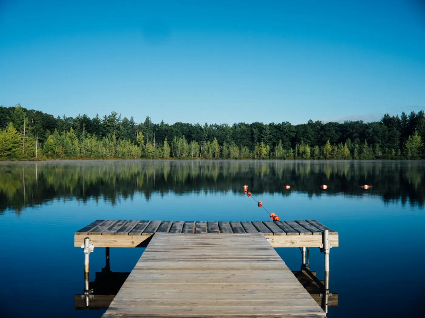
South Umpqua River Swimming Spots
Swimming hole in Medford, Oregon · Other
South Umpqua River Swimming Spots is a natural swimming hole. It is near Medford, Oregon. Access is free. Best season: Late spring to early fall.
Typical season: Late spring to early fall
About South Umpqua River Swimming Spots
South Umpqua River Swimming Spots lies in Oregon. Visitors trade crowds for a quieter bank access. Towering Douglas firs and big-leaf maples press close to the water's edge, filtering sunlight into shifting patterns on mossy rocks. The air smells of pine resin and cold water, and the only sounds you're likely to hear are the river rushing over stones and the occasional call of a Steller's jay overhead. These are unofficial spots. Wild, unspoiled, and completely free to visit. Which means you trade manicured amenities for genuine wilderness. The Setting and the Water Two destinations stand out along this stretch: South Umpqua Falls and Dumont Creek Campground. At South Umpqua Falls, the river reveals one of its most memorable tricks. Smooth, water-polished rock chutes that function as natural slides, sending swimmers laughing and splashing into the clear pool below. At Dumont Creek, you'll find a quieter, more intimate experience: a secluded tributary creek where the swimming area. The creek water is clear enough to watch your feet on the pebbled bottom, and the surrounding forest gives the whole scene a cathedral-like stillness. Both spots reward visitors with photogenic waterfall views and landscapes that look straight out of a Pacific Northwest travel poster. Access requires navigating winding forest roads. Manageable for most passenger vehicles if driven carefully. But minimal hiking is needed once you arrive. No lifeguards patrol South Umpqua River Swimming Spots. Facilities are limited, so judge depth, current, and weather when you arrive.
Key facts
Structured details for trip planning — verify access and fees with the land manager before you visit.
- Water type
- Varies - see below
- Water body
- South Umpqua River
- Fee
- Free
- Nearest town
- Medford
- State
- Oregon
- Coordinates
- 42.97492, -123.17782
- Best season
- Late spring to early fall. Summer months (June-August) offer the warmest water temperatures and vibrant greenery, while autumn (September-October) provides stunning foliage and cooler air.
- Access difficulty
- Easy to moderate. Access involves driving on winding forest roads, with minimal hiking required to reach the water.
- Parking
- Designated area
- Restrooms
- Yes
- Lifeguard
- None — assume unguarded
- Cliff jumping
- Reported
- Camping
- Camping at Dumont Creek campground.
- Activities
- Swimming, Jumping, Sliding
- Facilities
- Dumont Creek Campground offers picnic tables and toilets for convenience. No fees are required, and camping options are available for those wanting an extended stay.
- Listing last updated
- May 12, 2026
The experience
- Best time to visitLate spring to early fall. Summer months (June-August) offer the warmest water temperatures and vibrant greenery, while autumn (September-October) provides stunning foliage and cooler air.
- AccessEasy to moderate. Access involves driving on winding forest roads, with minimal hiking required to reach the water.
- FacilitiesDumont Creek Campground offers picnic tables and toilets for convenience. No fees are required, and camping options are available for those wanting an extended stay.
- Camping nearbyCamping at Dumont Creek campground.
Highlights & features
- Natural slides at South Umpqua Falls
- Clear, cool creek at Dumont
- Lush forest setting
- Family-friendly picnic areas
- Wildlife and scenic beauty
- Natural rock slides at South Umpqua Falls
- Secluded creek swimming at Dumont
- No fees for entry
How to get there
South Umpqua River Swimming Spots lies in Oregon near Medford, Canyonville, and Tiller. Use these driving notes as a starting point and confirm road conditions before you go. General Overview: The South Umpqua River offers two popular . Both are located east of Canyonville, Oregon, and can be accessed via Route 227 and forest roads. These spots are a strong choice for swimming, relaxing, and enjoying the natural beauty of the area. Follow the directions below for a smooth and enjoyable trip. Dumont Creek Description: Dumont Creek features a creek-side . It’s a peaceful spot for families and individuals looking for a quieter experience. Driving Directions:
From Interstate 5 (I-5), take Exit 98 at Canyonville.
Head east on Route 227 toward Tiller.
Landmark
You’ll pass through the small town of Tiller, where the Tiller Ranger Station lies. Continue east on Route 46. At the intersection of Route 46 and Forest Road 28 (FR 28), turn onto FR 28. Drive about 10 miles on FR 28.
Landmark
Look for the Dumont Creek Campground on your right.
Park at the campground. Additional Notes
Parking is available at the campground.
Be prepared for gravel or dirt roads as you approach the campground.
Facilities at the campground may include restrooms and picnic areas. Coordinates
Latitude: 43.036, Longitude: -122.8096 Google Maps Link South Umpqua Falls Description
South Umpqua Falls is a broad, low waterfall offering swimming, diving, and sliding opportunities. This spot is popular with local families and provides a fun and scenic experience. Driving Directions:
From Interstate 5 (I-5), take Exit 98 at Canyonville.
Head east on Route 227 toward Tiller.
Landmark
You’ll pass through the small town of Tiller, where the Tiller Ranger Station lies. Continue east on Route 46. At the intersection of Route 46 and Forest Road 28 (FR 28), turn onto FR 28. Drive about 20 miles on FR 28.
Landmark
You will pass Dumont Creek Campground along the way. Look for the South Umpqua Falls Recreation Area on your right.
Additional Notes
Parking is available at the recreation area.
A short trail may lead from the parking area to the falls.
Bring appropriate footwear for walking near the falls, as rocks may be slippery. Coordinates
Latitude: 43.05483, Longitude: -122.68569 Google Maps Link
Helpful Tips
Both locations are in remote areas, so ensure your vehicle is in good condition and has sufficient fuel. Cell service may be limited in some areas. Pack essentials such as water, snacks, sunscreen, and appropriate swimwear. Respect the natural environment and follow Leave No Trace principles. Have a safe visit to the South Umpqua River ! Bring water, sunscreen, and gear for a primitive swim day. Weekends and holidays can draw more visitors. Check local updates on access and water levels before you leave home.
Plan your visit
South Umpqua River Swimming Spots works well as a day trip from Medford or Canyonville. Stock up in town, then head to the water with food, water, and sun protection. Pair the swim with a stop at Glide Oregon Swimming Spots (about 23 mi away) or browse more Oregon swimming spots in our directory. For the full list in Oregon, see our state directory.
Access & fees
These are unofficial swimming areas with no lifeguards on duty. Access is free, but facilities are limited to basic picnic areas and toilets at the campground. Roads leading to the sites are paved initially but become forest service roads (gravel/dirt); ensure your vehicle is suitable. Cell service is often unreliable in this remote forest area.
Frequently asked questions
Can you swim at South Umpqua Falls?
Yes. South Umpqua Falls and nearby river pools are popular free swimming spots in southern Oregon. No lifeguards — rocks are slick.
Is South Umpqua swimming free?
Yes. Informal access is typically free. Follow Forest Service fire and road advisories.
How do you get to South Umpqua swimming holes?
In southern Oregon along the South Umpqua River corridor. Follow signs to South Umpqua Falls day-use areas.
When is the best time to swim on the South Umpqua?
July through early September for warmest weather. After rain, wait for clarity and lower flow.
Explore more nearby swimming guides
Nearby swimming holes
Map & location
Culture & history
The South Umpqua River flows through lands with deep Native American heritage, offering a glimpse into the region’s historical and cultural significance.
Conservation
Visitors are urged to follow Leave No Trace principles: pack out all trash, avoid disturbing wildlife, and stick to marked trails to protect the area’s delicate ecosystem.
Sources & updates
Reference sources
Spotted outdated access, fees, or safety info? Send a correction with the page URL — we review every submission.