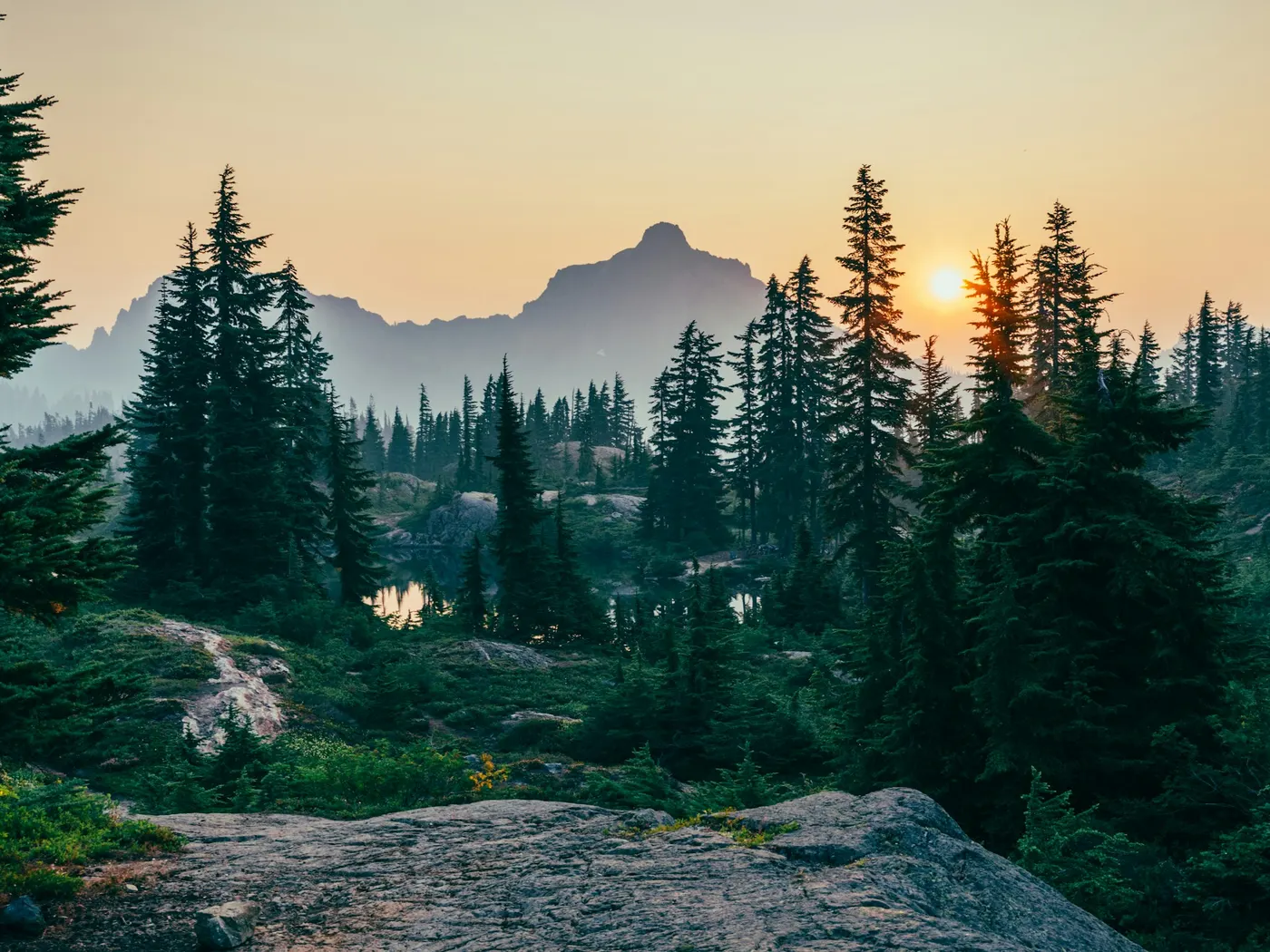
Spring Creek Northeastern Oklahoma Swimming Spots
Swimming hole in Tulsa, Oklahoma · Creek
Spring Creek Northeastern Oklahoma Swimming Spots is a creek swimming hole. It is near Tulsa, Oklahoma. Fee varies. Best season: Summer for warm weather and lively atmosphere.
Typical season: Summer for warm weather and lively atmosphere
About Spring Creek Northeastern Oklahoma Swimming Spots
Spring Creek Northeastern Oklahoma Swimming Spots lies in Oklahoma. Visitors trade crowds for a quieter bank access.
This is a place where the water runs genuinely clear. The kind of clarity that lets you count the stones on the creek bottom before you even wade in.
Whether you're chasing the laughter of a busy summer weekend or the stillness of an October afternoon with crimson leaves drifting downstream, Spring Creek delivers an experience that feels refreshingly unhurried and deeply rooted in the natural world. The creek flows through rolling countryside near the small towns of Peggs and Oaks, far enough from the urban sprawl of Tulsa to feel like another world entirely. Riprap rock formations at the Rip Rap Access point give the landscape a rugged, geological character. Flat stones worn smooth by centuries of current, stacked and scattered in ways that invite exploration. Overhanging trees cast dappled shade across the water on hot afternoons, and in early fall, the surrounding hardwoods ignite in shades of amber and rust, making the creek corridor one of the most quietly spectacular corridors in the region. This is a creek with personality: part . What . The kind of cold that makes you gasp on entry and grateful within seconds.
Swim at your own risk at Spring Creek Northeastern Oklahoma Swimming Spots. Check conditions after rain and respect any posted closures.
Key facts
Structured details for trip planning — verify access and fees with the land manager before you visit.
- Water type
- Creek
- Water body
- Spring Creek
- Fee
- Fee varies
- Nearest town
- Tulsa
- State
- Oklahoma
- Best season
- Summer for warm weather and lively atmosphere; early fall for quieter visits and stunning foliage; spring for enhanced water flow from rains.
- Access difficulty
- Moderate; accessible locations like Smokey Valley Campground are family-friendly, while Rip Rap Access and Littlefields may require navigating uneven terrain.
- Restrooms
- Yes
- Lifeguard
- Present (seasonal)
- Cliff jumping
- Reported
- Camping
- At Smokey Valley campground and Littlefields Campground (see below).
- Land manager
- U.S. Army Corps of Engineers
- Activities
- Swimming
- Facilities
- Smokey Valley and Littlefields offer restrooms, picnic areas, and fee-based access. Rip Rap Access and Old Rocky Ford State Park have minimal facilities.
- Last verified
- May 12, 2026
The experience
- Best time to visit Summer for warm weather and lively atmosphere; early fall for quieter visits and stunning foliage; spring for enhanced water flow from rains.
- Access Moderate; accessible locations like Smokey Valley Campground are family-friendly, while Rip Rap Access and Littlefields may require navigating uneven terrain.
- Facilities Smokey Valley and Littlefields offer restrooms, picnic areas, and fee-based access. Rip Rap Access and Old Rocky Ford State Park have minimal facilities.
- Camping nearby At Smokey Valley campground and Littlefields Campground (see below).
Highlights & features
- Crystal-clear waters ideal for swimming
- Camping options at Smokey Valley and Littlefields
- Diverse swimming spots from secluded to social
- Seasonal beauty with vibrant foliage
- Rich cultural and geological backdrop
- Clothing-optional areas at Littlefields Campground
- Riprap rock formations at Rip Rap Access
- Diving platforms and rope swings
How to get there
Spring Creek Northeastern Oklahoma Swimming Spots lies in Oklahoma near Tulsa, Peggs, and Oaks. Use these driving notes as a starting point and confirm road conditions before you go. Spring Creek Northeastern Oklahoma OLD TWIN BRIDGES Privately owned . Paid access points are available; look for signs indicating "." Please respect private property and do not trespass. Driving Directions: Bring water, sunscreen, and gear for a primitive swim day. Weekends and holidays can draw more visitors. Check local updates on access and water levels before you leave home.
-
From Tulsa, take Route 412 east (partial toll road) and cross the Neosho River.
-
Exit at Exit 6 and turn south onto Route 82.
Drive about 3 miles and turn west (right) onto Ear Bob Road. Continue for about 1.7 miles on Ear Bob Road and turn north (right) toward the bridge over Spring Creek.
-
Look for ". Paid access points are available in this area. Coordinates
Latitude: 36.13105, Longitude: -95.1880 Google Maps Link SMOKEY VALLEY CAMPGROUND A private campground with family-friendly . Camping is available on-site, and there are numerous areas to swim. Glass bottles are prohibited. Bathing suits are required, and all facilities are provided. Driving Directions:
-
From Old Twin Bridges, continue north across the bridges.
Turn left onto Route E0610 and follow it for about 0.5 miles.
-
Look for Smokey Valley Campground signs on the left and follow them to the entrance. Coordinates
Latitude: 36.129678, Longitude: -95.200911 Google Maps Link SPRING CREEK RECREATION AREA A U.S. Army Corps of Engineers day-use area and boat ramp located where Spring Creek joins Fort Gibson Lake. This area offers . Driving Directions:
-
From Smokey Valley Campground, continue west on E0610 Road (which becomes N4830 Road and then D0616 Road).
After about 2 miles, turn south (left) onto S 437 Road (which becomes Spring Creek Road and then E0620 Road). Continue for about 1.5 miles to reach the Spring Creek Recreation Area. Coordinates: Latitude: 36.11604, Longitude: -95.2474 Google Maps Link RIP RAP ACCESS A public .S. Army Corps of Engineers land where rip rap (rock banks) has been placed to reduce erosion. Driving Directions:
-
From Ear Bob Road, continue west for about 0.5 miles past the turnoff for Old Twin Bridges.
-
Turn north (right) onto N4390 Road and park on the north side of the road near the creek.
Walk across the road and rocks to access the creek. Ensure you remain on U.S. Army Corps of Engineers land and avoid entering the private Cedar Crest community downstream. Coordinates: Latitude: 36.12723, Longitude: -95.1937 Google Maps Link LITTLEFIELDS CAMPGROUND A private campground offering . Glass bottles are prohibited, and clothing is optional. Amenities include a rope swing, diving platform, and portable toilets. Driving Directions:
-
From Ear Bob Road, return to Route 82 and head south for about 4.5 miles.
-
Turn east (left) onto Route 640 and continue to the stop sign.
-
Turn left, and the road will transition into a dirt road.
Follow the dirt road downhill and turn right before the low-water bridge to reach the campground. Coordinates: Latitude: 36.10404, Longitude: -95.09633 Google Maps Link **OLD ROCKY FORD STATE
Plan your visit
Spring Creek Northeastern Oklahoma Swimming Spots works well as a day trip from Tulsa or Peggs. Stock up in town, then head to the water with food, water, and sun protection. Combine the swim with camping at Salina Oklahoma Swimming Hole or browse more Oklahoma creek spots in our directory. For the full list in Oklahoma, see our state directory.
Access & fees
Access is a mix of public and private. The Spring Creek Recreation Area is a public US Army Corps of Engineers day-use site. Old Twin Bridges and Rip Rap Access involve adjacent private land; use only designated public areas or paid access points. Smokey Valley and Littlefields are private campgrounds requiring permission or fees. Always verify access points and fees on-site, as they can change.
Top picks for this trip
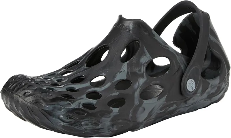
Merrell Hydro Moc
If you want one shoe that handles the walk in, the swim, and the lounge afterward, the Hydro Moc is the easiest pick.
Check price on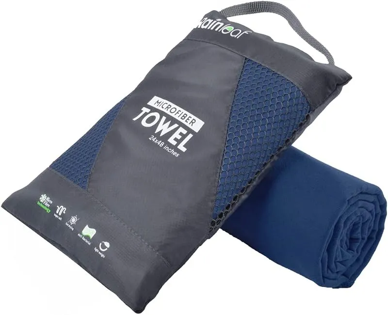
Rainleaf Microfiber Towel
Buy two — a large for drying off and a small for gear — and you still spend less than one cotton beach towel.
Check price onDisclosure: Gear links may earn a commission as an Amazon Associate — at no extra cost to you. Learn more.
What to pack for Spring Creek Northeastern Oklahoma Swimming Spots
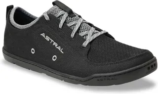
Gear we compare side by side for creek swims like this one — water access, sun, and the hike in.

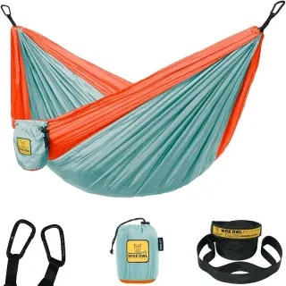
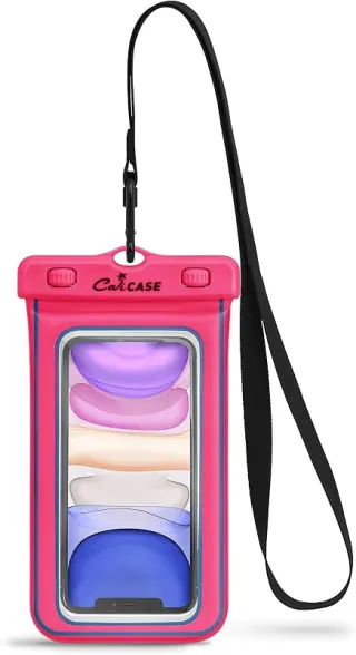
Disclosure: Gear links may earn a commission as an Amazon Associate — at no extra cost to you. Learn more.
Frequently asked questions
Can you swim at Spring Creek Northeastern Oklahoma Swimming Spots?
Yes. Spring Creek Northeastern Oklahoma Swimming Spots near Tulsa, Peggs, and Oaks in OK is a creek swimming spot on Spring Creek. Scout depth and current before entering — no lifeguards at most natural access points.
How much does Spring Creek Northeastern Oklahoma Swimming Spots cost?
Plan for fees: Varies - see below. Rates and policies change — verify with the land manager before you drive.
How do you get to Spring Creek Northeastern Oklahoma Swimming Spots?
Spring Creek Northeastern Oklahoma Swimming Spots is in OK within day-trip range of Tulsa, Peggs, and Oaks. Use a current map for the put-in or park entrance; cell service can be limited at remote spots.
Explore more nearby swimming guides
Nearby swimming holes
Culture & history
The area is steeped in Native American history and serves as a beloved recreational spot for locals, blending natural beauty with cultural significance.
Conservation
Practice Leave No Trace principles, avoid glass bottles, respect wildlife habitats, and follow posted signs to prevent environmental impact.
Sources & updates
Official land managers cited on this page
Always confirm current rules, closures, and fees on the agency site before visiting.
Spotted outdated access, fees, or safety info? Send a correction with the page URL — we review every submission.