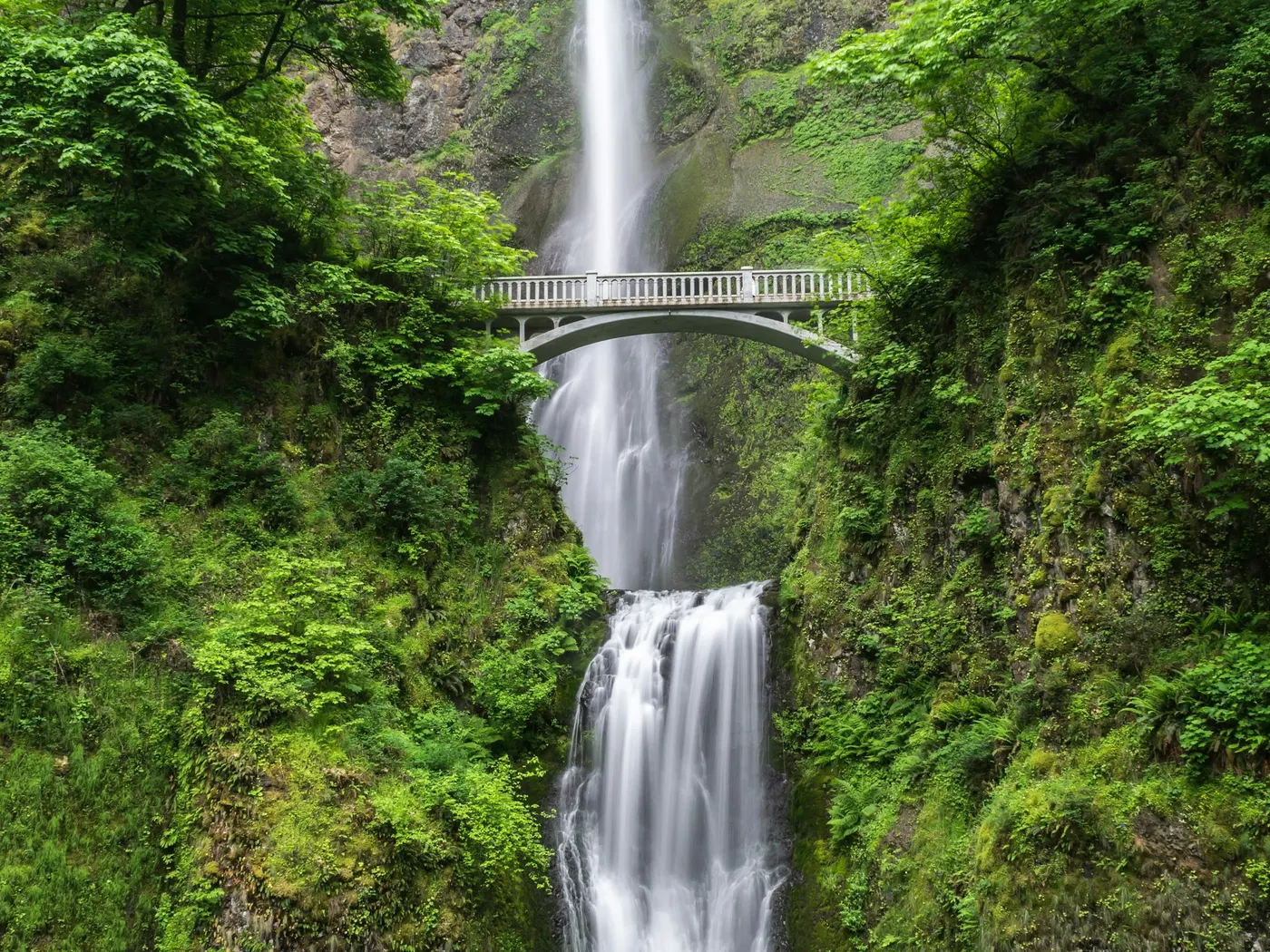
Switzer Falls
Swimming hole in Pasadena, California · Waterfall
Switzer Falls is a 50-foot tiered waterfall on the Arroyo Seco in Angeles National Forest near Pasadena and Altadena, California. Reached via a popular 3.7-mile round-trip trail from the Switzer Picnic Area off Angeles Crest Highway (CA-2). National Forest Adventure Pass required for parking; stream pools are shallow.
Typical season: Winter–spring for waterfall flow
About Switzer Falls
Switzer Falls is a popular waterfall hike in the front range of the San Gabriel Mountains, reached from Switzer Picnic Area on Angeles Crest Highway (CA-2) above La Cañada Flintridge / Pasadena in California. Most visitors come for the shaded Arroyo Seco walk to the base of Switzer Falls, where shallow creek pools invite a cool dip after the hike. not a deep swimming-hole resort. Depth and flow shrink in late summer; after storms, water can rise quickly. Parking at the picnic-area lots typically requires an Angeles National Forest **Adventure Pass** (or equivalent America the Beautiful pass). Arrive early on weekends. the lower lot fills and overflow adds elevation. Pair it with other San Gabriel day trips from our swimming holes near Los Angeles list.
Key facts
Structured details for trip planning — verify access and fees with the land manager before you visit.
- Address
- Switzer Picnic Area, Angeles Crest Hwy, Tujunga, CA 91042
- Water type
- Falls
- Water body
- the Upper Arroyo Seco River
- Fee
- Angeles National Forest Adventure Pass (or equivalent) typically required for parking
- Nearest town
- Pasadena
- State
- California
- Coordinates
- 34.26640, -118.14483
- Best season
- Winter–spring for waterfall flow; early weekday mornings year-round to beat heat and parking crowds.
- Access difficulty
- Moderate ~4–5 mile round-trip hike with slick creek rock near the falls.
- Parking
- Designated area
- Restrooms
- Yes
- Lifeguard
- None — assume unguarded
- Dogs allowed
- Yes
- Camping
- No camping at the day-use picnic area; nearby forest campgrounds by permit.
- Land manager
- U.S. Forest Service
- Activities
- Hiking, waterfall viewing, creek wading
- Facilities
- Picnic tables and restrooms at Switzer Picnic Area; Adventure Pass required for parking.
- Listing last updated
- July 15, 2026
The experience
- Best time to visitWinter, spring for waterfall flow; early weekday mornings year-round to beat heat and parking crowds.
- AccessModerate ~4, 5 mile round-trip hike with slick creek rock near the falls.
- FacilitiesPicnic tables and restrooms at Switzer Picnic Area; Adventure Pass required for parking.
- Camping nearbyNo camping at the day-use picnic area; nearby forest campgrounds by permit.
Highlights & features
- Scenic hike through Angeles National Forest
- Refreshing swimming spots fed by Upper Arroyo Seco
- Stunning cascading waterfalls
- Wildlife and lush vegetation
- Photography opportunities
- Proximity to Los Angeles for easy access
- Blend of cultural history and natural beauty
- Two-tier waterfall system with diverse swimming options
How to get there
Trailhead: Switzer Picnic Area off Angeles Crest Highway, roughly 10 miles from I-210 in La Cañada Flintridge.
1. From Pasadena / La Cañada: take I-210 to the Angeles Crest Highway (CA-2) exit and drive northeast about 10 miles.
2. Just past Clear Creek Information Center, turn right into Switzer Campground / Picnic Area and descend to the lower parking lot when spaces remain.
3. Display an Adventure Pass (or valid annual pass) before leaving the car — weekday pass sales may require stopping in La Cañada beforehand.
4. Cross the bridge at the west end of the lower lot onto the Gabrielino Trail and follow the Arroyo Seco downstream toward Switzer Falls (about 2–2.5 miles each way depending on the spur you take).
5. Descend carefully to the pools below the falls — rocks are slick; turn around before dark.
If the lower lot is full, upper highway overflow adds a steep walk on the return climb.
Plan your visit
Switzer Falls works well as a day trip from Pasadena or Altadena. Stock up in town, then head to the water with food, water, and sun protection. Pair the swim with a stop at Rock Pool (about 35 mi away) or browse more California waterfall spots in our directory. For the full list in California, see our state directory.
Access & fees
An Adventure Pass is required for parking and must be purchased before arriving. Passes are sold at locations like the Clear Creek Ranger Station. The site is unofficial, meaning amenities and trail maintenance may be limited. Facilities include picnic tables and toilets at the trailhead.
Frequently asked questions
Can you swim at Switzer Falls?
Switzer Falls features shallow natural wading pools below the lower and upper cascades. Water depth is typically knee-to-waist deep depending on winter and spring rainfall, making it better for wading and cooling off than deep swimming.
Do you need a pass to park at Switzer Falls?
Yes. A US Forest Service Adventure Pass ($5/day or $30/annual) or America the Beautiful Interagency Pass must be displayed in your vehicle at the Switzer Picnic Area parking lot.
How long is the hike to Switzer Falls?
The hike to the lower falls is approximately 3.7 miles round-trip with about 650 feet of elevation change. The trail is shaded by oak and alder trees along the Arroyo Seco canyon.
Do you need an Adventure Pass for Switzer Falls?
Yes. Parking at Switzer Picnic Area lots typically requires an Angeles National Forest Adventure Pass or equivalent federal recreation pass. Buy ahead on weekdays when Clear Creek sales are closed.
Where do you park for Switzer Falls?
CA-2, turn into Switzer Picnic Area and park in the lower lot when available, or use upper overflow near the highway. Always display a valid pass.
Is Switzer Falls good for kids?
Many families hike it, but creek crossings, slick rock, and the return climb can tire younger kids. Bring water shoes and turn around if heat or crowds spike.
Are dogs allowed on the Switzer Falls trail?
Dogs are commonly allowed on leash on this Angeles National Forest trail segment — confirm current Forest Service rules and keep pets out of fragile banks.
Is Switzer Falls the same as Switzer Falls Angeles Crest?
Yes. Search terms like “Switzer Falls Angeles Crest” and “Switzer Falls trail” all point to this Arroyo Seco waterfall hike off Angeles Crest Highway.
Explore more nearby swimming guides
Nearby swimming holes
Map & location
Culture & history
Historically significant due to its connection to the Tongva people and Gaspar de Portolà’s exploration.
Conservation
Follow Leave No Trace principles to protect local wildlife and habitats. Adventure Pass required for parking.
Sources & updates
Official land managers cited on this page
Always confirm current rules, closures, and fees on the agency site before visiting.
Reference sources
Spotted outdated access, fees, or safety info? Send a correction with the page URL — we review every submission.