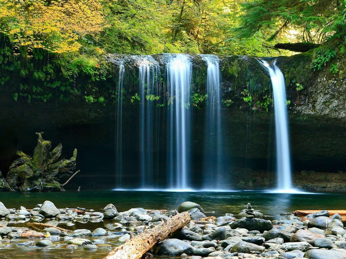
Black Rock Hot Springs
Swimming hole in Taos, New Mexico · River
Black Rock Hot Springs and Manby (Stagecoach) Hot Springs are natural thermal rock pools along the Rio Grande Gorge near Taos and Arroyo Hondo, New Mexico. Free BLM access in Rio Grande del Norte National Monument via a steep 0.3-mile hike. Soaking pools stay around 97°F–102°F alongside the rushing river.
Typical season: Weekday dawn/dusk
About Taos Hot Springs And Swimming Spots
Black Rock Hot Springs (often searched with Manby / Stagecoach springs) sits on the Rio Grande west of Arroyo Hondo near Taos in New Mexico. free, undeveloped BLM soaks inside Rio Grande del Norte National Monument. Source water is about **106°F**, cooling toward the high 90s in rock-lined pools as river water mixes. Clothing-optional culture is common. The approach is a short but rocky downhill (~0.3, 0.4 mile) from parking near **John Dunn Bridge** on County Road B-007. The climb out feels longer. **High Rio Grande flows can flood/wash out the pools**. call BLM Taos ((575) 758-8851) if road or bridge status is uncertain. Pack out everything; there are essentially no services at the water. Nearby Manby Hot Springs is a separate hike/river approach for a longer Taos soak day. Browse more New Mexico swimming holes.
Key facts
Structured details for trip planning — verify access and fees with the land manager before you visit.
- Address
- County Rd B-007 / John Dunn Bridge area, Arroyo Hondo, NM 87513
- Water type
- Hot springs / river
- Water body
- Black Rock Hot Springs / Rio Grande
- Fee
- Free (BLM / Rio Grande del Norte National Monument) — no ticket; donations for trail stewardship appreciated
- Nearest town
- Taos
- State
- New Mexico
- Coordinates
- 36.53083, -105.71222
- Best season
- Weekday dawn/dusk; low-to-moderate river levels.
- Access difficulty
- Short rocky descent/ascent; moderate for some ankles.
- Parking
- Roadside / pull-off
- Restrooms
- None on site
- Lifeguard
- None — assume unguarded
- Dogs allowed
- Yes
- Camping
- Not at the pools; use legal dispersed/campground options elsewhere.
- Land manager
- Bureau of Land Management
- Activities
- Soaking, short hike, photography
- Facilities
- Minimal — roadside parking; no reliable toilets/water at pools.
- Listing last updated
- July 15, 2026
The experience
- Best time to visitWeekday dawn/dusk; low-to-moderate river levels.
- AccessShort rocky descent/ascent; moderate for some ankles.
- FacilitiesMinimal. roadside parking; no reliable toilets/water at pools.
- Camping nearbyNot at the pools; use legal dispersed/campground options elsewhere.
Highlights & features
- Geothermal hot springs near the Rio Grande
- Historic ruins at Manby Hot Springs
- Sweeping canyon views
- Accessible hiking trails
- Seasonal river cooling options
- Historic stagecoach building ruins at Manby Hot Springs
- Crystal-clear, odorless geothermal waters
- Sandy-bottom pools
How to get there
From Taos, take US-522 north about 5 miles, turn west on County Road B-007 toward Arroyo Hondo / John Dunn Bridge.
1. Follow B-007 ~2.5 miles through the gorge approach, staying left at forks toward the bridge.
2. Cross John Dunn Bridge and turn left uphill; park only in legal pullouts/switchbacks (do not block traffic or private land).
3. Take the rocky downhill path ~0.3–0.4 mile to the basalt pools beside the Rio Grande.
4. Soak only if pools are formed above flood stage — leave if current threatens the basins.
5. Climb out before dark; bring a light and sturdy shoes.
No fee. Confirm BLM road/bridge alerts in muddy seasons.
Plan your visit
Taos Hot Springs And Swimming Spots works well as a day trip from Santa Fe or Taos. Stock up in town, then head to the water with food, water, and sun protection. Pair the swim with a stop at Montezuma Hot Springs (about 65 mi away) or browse more New Mexico river spots in our directory. For the full list in New Mexico, see our state directory.
Access & fees
These are unofficial, primitive sites with no facilities or management. Access involves driving on unsigned county roads and hiking on unmaintained trails. The pools may be flooded or inaccessible during high water on the Rio Grande. Always check current conditions locally before visiting.
Frequently asked questions
How do you get to Black Rock Hot Springs in Taos?
Access is via County Road B-007 near Arroyo Hondo. Park at the rim and take the switchback trail down into the Rio Grande Gorge (approx. 0.3 miles, 10–15 minutes). High-clearance vehicles are recommended for the dirt access road.
Is Black Rock Hot Springs free?
Yes. Located on BLM public lands within the Rio Grande del Norte National Monument, Black Rock Hot Springs is free to visit with no permits or day fees.
What temperature is Black Rock Hot Springs?
The two main rock-lined soaking pools maintain a soothing temperature between 97°F and 102°F (36°C–39°C), fed by natural thermal springs discharging directly next to the cold Rio Grande.
Can you soak at Black Rock Hot Springs?
Yes when river levels leave the rock pools intact. Source water is roughly 106°F; pool temps drop as Rio Grande water mixes.
How long is the hike to Black Rock Hot Springs?
About 0.3–0.4 mile downhill from parking near John Dunn Bridge. The return climb is short but steep and rocky.
Where is Black Rock Hot Springs near Taos?
West of Arroyo Hondo on the Rio Grande — roughly 30 minutes from Taos via US-522 and County Road B-007 to John Dunn Bridge.
Is Black Rock Hot Springs clothing-optional?
Yes, clothing-optional etiquette is common. Be respectful of mixed groups and keep photography consensual.
Do the Black Rock pools flood?
Yes. High Rio Grande water can inundate or erase the soaking pools. Skip the trip after heavy runoff and check local reports.
Explore more nearby swimming guides
Nearby swimming holes
Map & location
Culture & history
Manby Hot Springs is named for its history as a stagecoach crossing, highlighting the area's role in early transportation and trade. Nearby Taos Pueblo showcases centuries of Native American heritage.
Conservation
Practice Leave No Trace principles. Avoid littering and respect the delicate ecosystem. Stay on trails to minimize erosion and protect native plant life.
Sources & updates
Official land managers cited on this page
Always confirm current rules, closures, and fees on the agency site before visiting.
Reference sources
Spotted outdated access, fees, or safety info? Send a correction with the page URL — we review every submission.