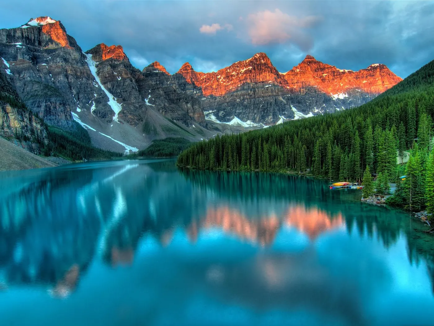
Pond MA
Puffers Pond
Puffers Pond sits in Massachusetts. Swimmers come for a natural day on the water without resort amenities.
View details12 natural swim spots within about 90 miles of Worcester, Massachusetts.
This page lists 12 natural swimming holes near Worcester, Massachusetts, sorted by distance within about 90 miles.
Near Worcester, Massachusetts, our directory maps 12 natural swimming holes within about 90 miles of the city center — including 4 rivers, 2 creeks, 1 waterfall, and 4 lakes. The closest mapped spot is Puffers Pond (38 mi straight-line). Distances are not drive time; open each listing for directions, fee notes, access rules, and safety context before you travel.
| Central place | Worcester, Massachusetts |
|---|---|
| Search radius | About 90 miles |
| Mapped spots | 12 |
| Closest listing | Puffers Pond (38 mi) |
| Water types | River (4), Creek (2), Waterfall (1), Lake (4), Other (1) |
| Typical fees | 8 free · 2 fee · 2 varies |
12 natural swim spots in Massachusetts, sorted by distance from the city center. For live GPS sorting, use swimming holes near me.
Puffers Pond sits in Massachusetts. Swimmers come for a natural day on the water without resort amenities.
View details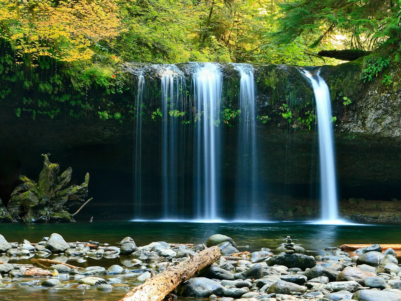
No crowds, no lifeguards, no snack bars. Just the soft murmur of a river moving through a wooded landscape that hasn't changed much in centuries.
View details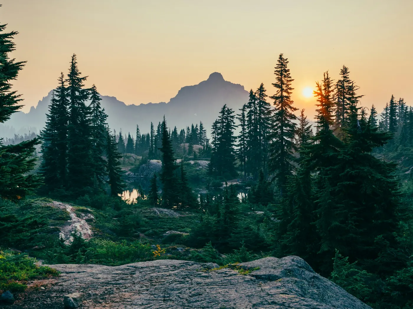
Granville Gorge in western Massachusetts near Southwick and Granville has brook-fed gorge pools and cascades with free roadside access. Rocks are slippery; check flow after storms before swimming.
View details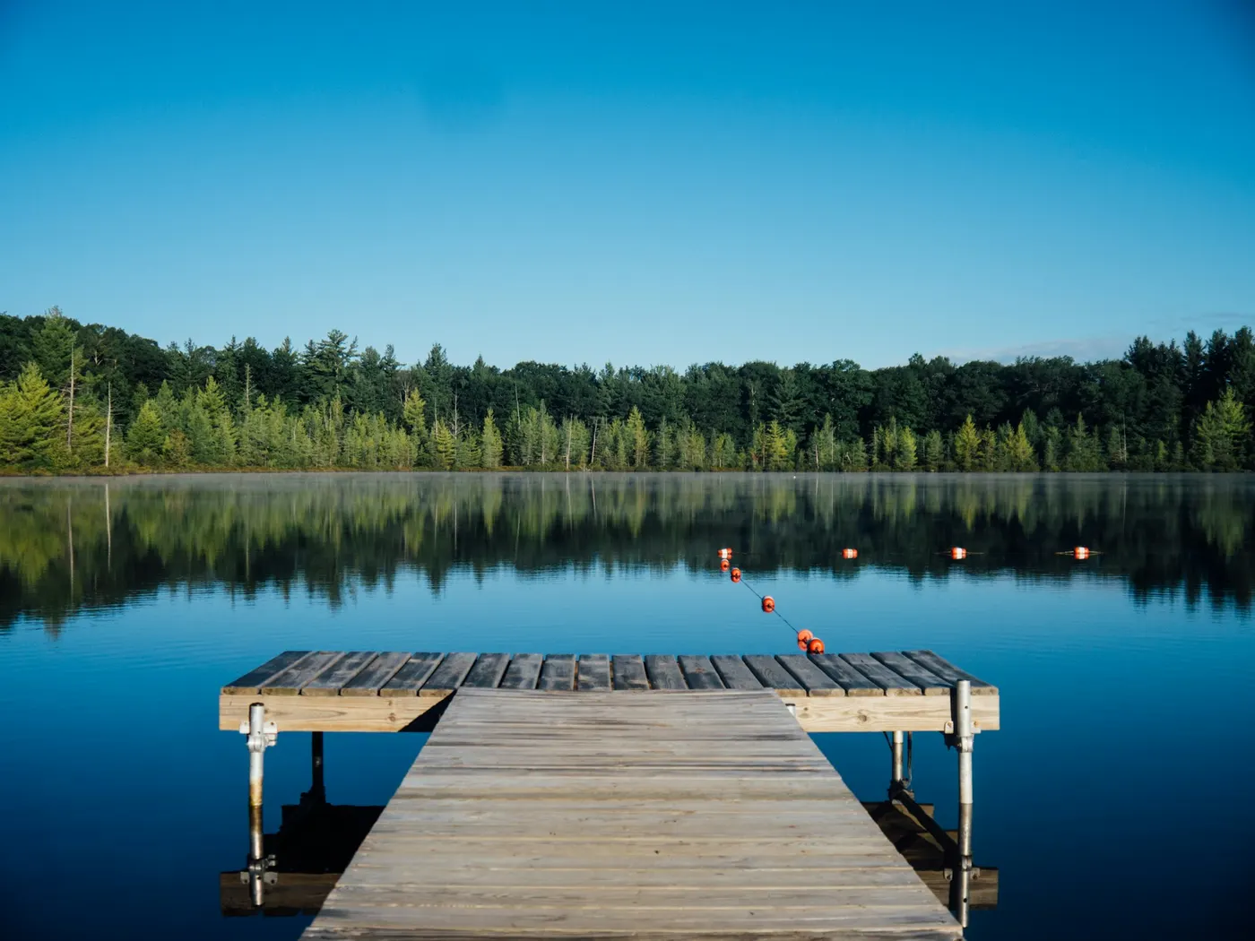
Cummington Beach / Westfield River swimming near Cummington, Massachusetts is a free river swimming hole popular in the Hilltowns. Rocky bottom; check flow after storms.
View details Windsor State Forest lies in Massachusetts, where Westfield River/Steep Bank Brook moves through a wooded corridor. Ancient hemlocks crowd the ridgelines, ferns carpet the forest floor, and the sound of rushing water follows you down nearly every trail.
View details Buck River sits in Massachusetts. Swimmers come for a natural day on the water without resort amenities.
View details Bellevue Falls near Belchertown / western Massachusetts is a free cascade swimming hole with rocky pools. Slippery rock and variable flow — no lifeguards; pack out trash.
View details Punchbowl sits in Massachusetts. Swimmers come for a natural day on the water without resort amenities.
View details Mount Hope Park lies in Massachusetts, where Green River At Hopper Brook moves through a wooded corridor. Situated where the Green River meets Hopper Brook, this unofficial .
View details Margaret Lindley Park is a Brook swimming destination near Williamstown in Massachusetts. The setting stays informal and low-key.
View details Micahs Pond is a Pond swimming destination near Hyannis in Massachusetts. The setting stays informal and low-key.
View details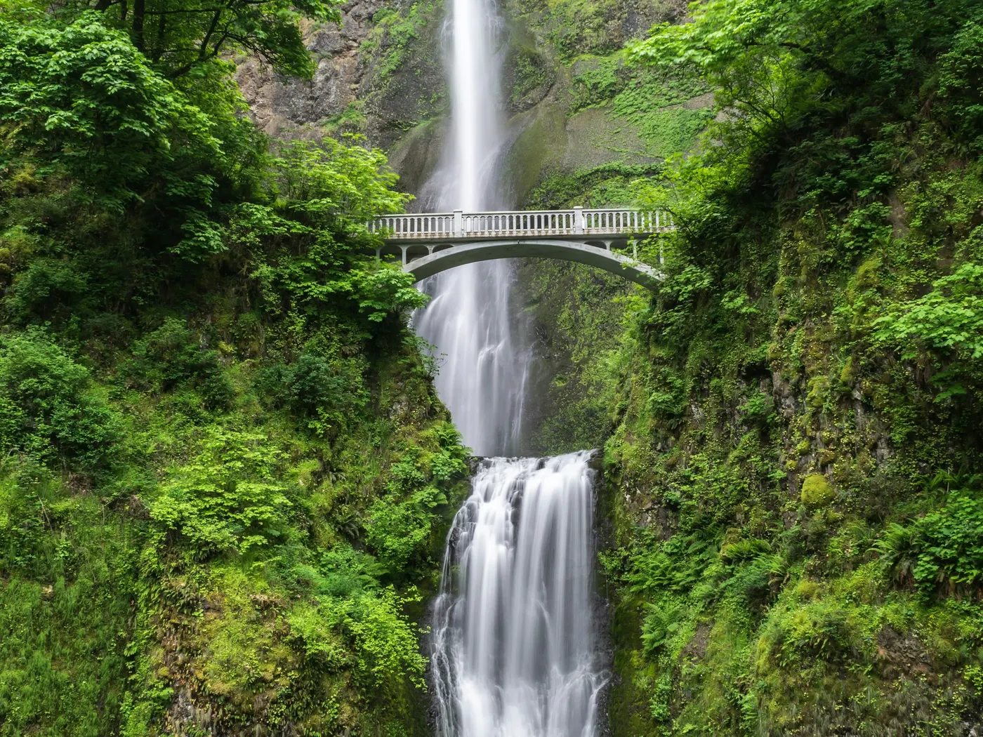
Bash Bish Falls in Mount Washington, Massachusetts is the state’s highest twin waterfall — a scenic hike and viewpoint in Bash Bish Falls State Park. Swimming and entering the water are prohibited; stay in designated viewing areas.
View detailsBrowse by water type in Massachusetts — each link opens the full state directory for that category.
A river swimming hole is a stretch of moving water deep enough to swim or wade — often a bend, pool, or slack-water pocket. Browse river spots below for access notes, fees, and seasonal flow tips.
Creek swimming holes are smaller stream and brook pools — usually cooler, shallower, and tucked into forests or hollows. Use the list below to find creek swims by state, then confirm water level after rain.
Waterfall swimming holes are plunge pools and cascades fed by falls. Flow is often seasonal; check depth, cold water, and slippery rock before you enter.
Lake swimming holes include natural lakes, ponds, and reservoirs with shoreline access — still water that is often easier for families than currents. Browse lakes below for beaches, fees, and amenities.
Mixed or unique water types that do not fit a single category — review each listing for access and conditions.
Highlights and safety notes from our listings — not third-party reviews. Report outdated info or share a tip.
Worcester is a practical launch point for day trips to natural swimming holes in Massachusetts. Within about 90 miles you will find 12 mapped destinations in our directory, starting with Puffers Pond about 38 mi from the city center.
The mix spans river, creek, waterfall, lake, other — related terms searchers use include creek swimming, river swimming holes, spring-fed pools, and wild swimming.
Every card on this page is a verified directory entry in Massachusetts with map coordinates. We measure straight-line distance from the Worcester city center — not driving time. A creek swimming hole 12 miles away on forest roads can take longer than a river access point 20 miles away on a highway.
Wild swimming near Worcester includes informal river bends, spring-fed pools, waterfall plunge pools, and developed park swim areas. Rules, fees, and seasonal access differ by land manager. Never assume swimming is allowed without checking the listing and posted signs the day you visit.
Natural water near Worcester changes after rain, snowmelt, and summer heat. Cold shock, currents, submerged rocks, and bacteria are real risks at creek and river swimming holes — most sites have no lifeguard. Check weather and local advisories before you enter the water.
We publish original planning copy, safety tips, and last-updated dates on each listing. See our editorial policy for sourcing standards, or contact us if access or conditions have changed.
Near Worcester, Massachusetts, our directory lists 12 natural swimming holes within about 90 miles — mainly 4 rivers, 2 creeks, 1 waterfall, and 4 lakes. Each listing links to directions, fee notes, and safety context. Use near me on your phone for live distance sorting from your location.
This page shows 12 mapped natural swim spots within about 90 miles of Worcester. The full Massachusetts directory may list additional holes farther out or awaiting coordinates. Counts update as we verify new listings.
The closest mapped spot to Worcester is Puffers Pond (38 mi straight-line). Open that listing for driving directions, access notes, and current fee information — unofficial holes can change without notice.
8 listings note free or no-fee access; 2 require a fee or park admission; 2 have variable or unverified fees. Open each spot page for current fee details.
Near Worcester, documented water types include rivers, creeks, waterfall, lakes, other. A swimming hole is a natural outdoor pool in moving or spring-fed water — not a chlorinated pool. Filter by type on the Massachusetts state page or open each card for water-body details.
Late spring through early fall is the usual swim season near Worcester, but snowmelt, drought, and weekend crowds change conditions week to week. Check each listing before you drive — high water after storms can make creeks and rivers unsafe.
Wild swimming near Worcester carries real risks: cold water, currents, rocks, and no lifeguards at most unofficial sites. Check weather, water level, and posted warnings the day you visit. Read our river safety guide and each listing's safety section before entering the water.
Listing data last updated across spots on this page.