Big Laurel Creek Swimming Spots In Western North Carolina
Swimming hole in Asheville, North Carolina · Creek
Big Laurel Creek Swimming Spots In Western North Carolina is a creek swimming hole. It is near Asheville, North Carolina. Access is free. Best season: Summer months (June to August) are a strong choice for swimming, while late September to October offers stunning fall foliage for hikers and photographers.
Typical season: Summer months (June to August) are a strong choice for swimming, while late September to October offers stunning fall foliage for hikers and photographers
About Big Laurel Creek Swimming Spots In Western North Carolina
Big Laurel Creek Swimming Spots In Western North Carolina is a Creek swimming destination near Asheville in North Carolina. The setting stays informal and low-key.
Accessible via a gentle hike along an old roadbed. Roughly 2.5 miles one way. This unofficial, undeveloped destination rewards those willing to put in a little effort with something genuinely rare: three distinct natural . No lifeguards, no snack bars, no crowds.
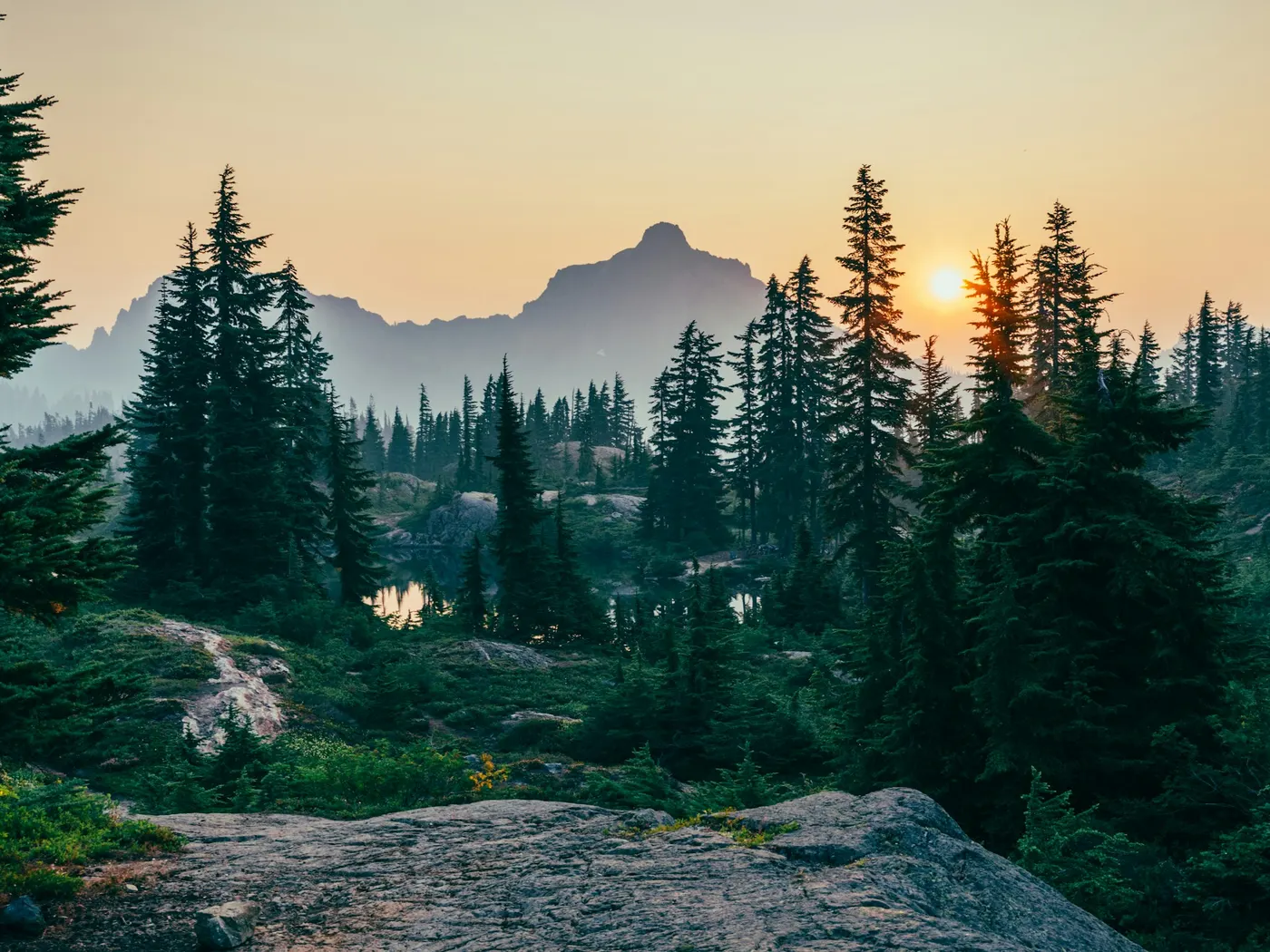
Just cold mountain water tumbling through a lush Appalachian corridor of hemlock, laurel, and towering hardwoods. The trail hugs the creek through a forest that feels almost primeval. In summer, the canopy closes overhead in a cathedral arch of green, filtering the light into shifting patches of gold on the water's surface. The air smells of damp moss and creek stone. Rhododendron and mountain laurel crowd the banks, their waxy leaves brushing your shoulders in the narrower stretches. The hike itself carries a moderate rating. The grade is gentle enough for most fit hikers, but the terrain is uneven underfoot, so sturdy shoes are a must.
No lifeguards patrol Big Laurel Creek Swimming Spots In Western North Carolina. Facilities are limited, so judge depth, current, and weather when you arrive.
Key facts
Structured details for trip planning — verify access and fees with the land manager before you visit.
- Water type
- Creek
- Water body
- Big Laurel Creek
- Fee
- Free
- Nearest town
- Asheville
- State
- North Carolina
- Best season
- Summer months (June to August) are a strong choice for swimming, while late September to October offers stunning fall foliage for hikers and photographers.
- Access difficulty
- Moderate - The hike is about 2.5 miles one way with a gentle grade, but requires caution due to uneven terrain and a lack of facilities.
- Parking
- Designated area
- Lifeguard
- Present (seasonal)
- Cliff jumping
- Reported
- Camping
- East of here at Carolina Hemlock (also a great family )
- Activities
- Swimming, rope swing
- Facilities
- No facilities are available. You should bring all necessary supplies, including water, snacks, and trash bags to pack out waste.
- Last verified
- May 12, 2026
The experience
- Best time to visit Summer months (June to August) are a strong choice for swimming, while late September to October offers stunning fall foliage for hikers and photographers.
- Access Moderate - The hike is about 2.5 miles one way with a gentle grade, but requires caution due to uneven terrain and a lack of facilities.
- Facilities No facilities are available. You should bring all necessary supplies, including water, snacks, and trash bags to pack out waste.
- Camping nearby East of here at Carolina Hemlock (also a great family )
Highlights & features
- Three distinct swimming holes
- Rope swing adventure
- Lush Appalachian forest setting
- Wildlife and plant diversity
- Accessible hiking trail
- Healing folklore tied to the creek
- Three distinct swimming spots for varied experiences
- Rope swing at the second swimming hole
How to get there
Big Laurel Creek Swimming Spots In Western North Carolina lies in North Carolina near Asheville, Johnson City (Tn), and Hot Springs. Use these driving notes as a starting point and confirm road conditions before you go. Bring water, sunscreen, and gear for a primitive swim day. Weekends and holidays can draw more visitors. Check local updates on access and water levels before you leave home.
-
Starting Point: Asheville, NC
-
From Asheville, take US-19 North (a freeway) toward Weaverville.
In Weaverville, merge onto NC-25 North and continue for about 20 miles. As you approach the intersection of NC-25 and NC-208, look for the following landmarks: On the right side of the road, you will see a gravel road marked with a sign for a recycling facility. Shortly after, you will also see a 25 MPH curve speed sign on the right. Directly across from the curve speed sign, on the left-hand side of the road, there is an unmarked gravel road that resembles a driveway. Turn left onto this gravel road.
-
Parking Instructions
Drive down the gravel road until you see a sign that says "Foot Traffic Only." Park in this area. Note: While the road is marked as private, it is not private property. However, there is private land along the beginning of the road, so please respect property boundaries and avoid trespassing. Trail Directions to : From the parking area, begin walking down the gravel road. At the first intersection, keep to the left. You will now be walking downstream along Big Laurel Creek on an old, abandoned road. The trail gradually narrows as you descend along a gentle grade.5 miles, and 2.5 miles from the parking area. There may also be additional spots further downstream. Important Safety Note: Some . Carefully assess the conditions at each spot before entering the water. Have a safe visit to Big Laurel Creek and take care to preserve the natural beauty of the area!
Plan your visit
Big Laurel Creek Swimming Spots In Western North Carolina works well as a day trip from Asheville or Johnson City (Tn). Stock up in town, then head to the water with food, water, and sun protection. Combine the swim with camping at Deep Creek Swimming Spots In Asheville And Bryson City or browse more North Carolina creek spots in our directory. For the full list in North Carolina, see our state directory.
Access & fees
This is an unofficial, unmaintained recreation area with no fees or facilities. Parking is at a 'Foot Traffic Only' sign. The initial access road passes by private land; respect all property boundaries and do not trespass. The swimming spots are not supervised.
Top picks for this trip
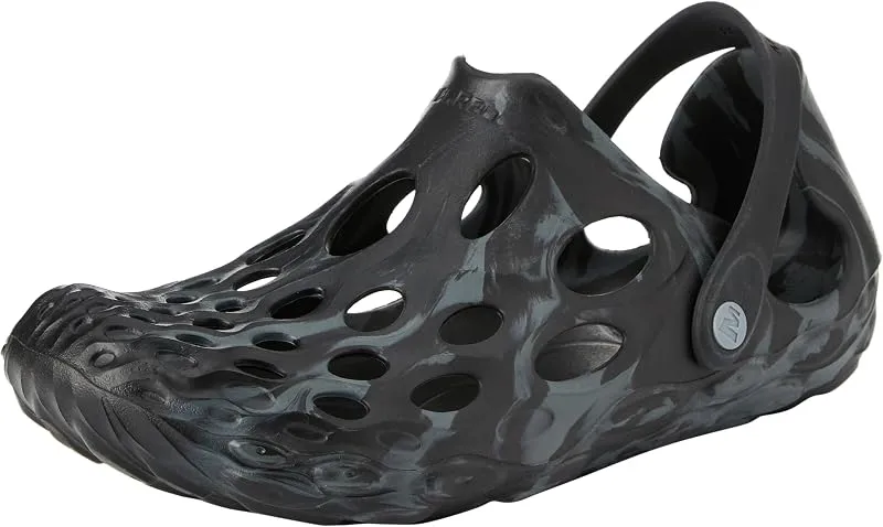
Merrell Hydro Moc
If you want one shoe that handles the walk in, the swim, and the lounge afterward, the Hydro Moc is the easiest pick.
Check price on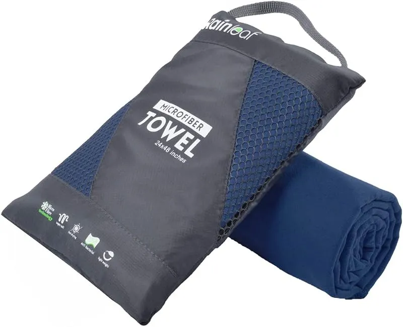
Rainleaf Microfiber Towel
Buy two — a large for drying off and a small for gear — and you still spend less than one cotton beach towel.
Check price onDisclosure: Gear links may earn a commission as an Amazon Associate — at no extra cost to you. Learn more.
What to pack for Big Laurel Creek Swimming Spots In Western North Carolina
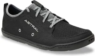
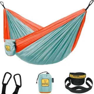
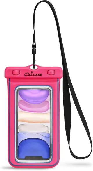
Gear we compare side by side for creek swims like this one — water access, sun, and the hike in.

Disclosure: Gear links may earn a commission as an Amazon Associate — at no extra cost to you. Learn more.
Frequently asked questions
Can you swim at Big Laurel Creek Swimming Spots in Western North Carolina?
Yes. Big Laurel Creek Swimming Spots in Western North Carolina near Asheville, Johnson City (Tn), and Hot Springs in NC is a creek swimming spot on Big Laurel Creek. Scout depth and current before entering — no lifeguards at most natural access points.
Is Big Laurel Creek Swimming Spots in Western North Carolina free?
Access is generally free (fee listed as “None”). Confirm any parking or day-use rules on site, and pack out trash.
How do you get to Big Laurel Creek Swimming Spots in Western North Carolina?
Big Laurel Creek Swimming Spots in Western North Carolina is in NC within day-trip range of Asheville, Johnson City (Tn), and Hot Springs. Use a current map for the put-in or park entrance; cell service can be limited at remote spots.
Explore more nearby swimming guides
Nearby swimming holes
Culture & history
Big Laurel Creek holds significance as part of the Appalachian region, known for its rich history, folklore, and connection to early settlers and indigenous communities.
Conservation
Visitors should follow Leave No Trace principles to protect the National Forest land and ensure the creek's continued ecological health.
Sources & updates
Spotted outdated access, fees, or safety info? Send a correction with the page URL — we review every submission.