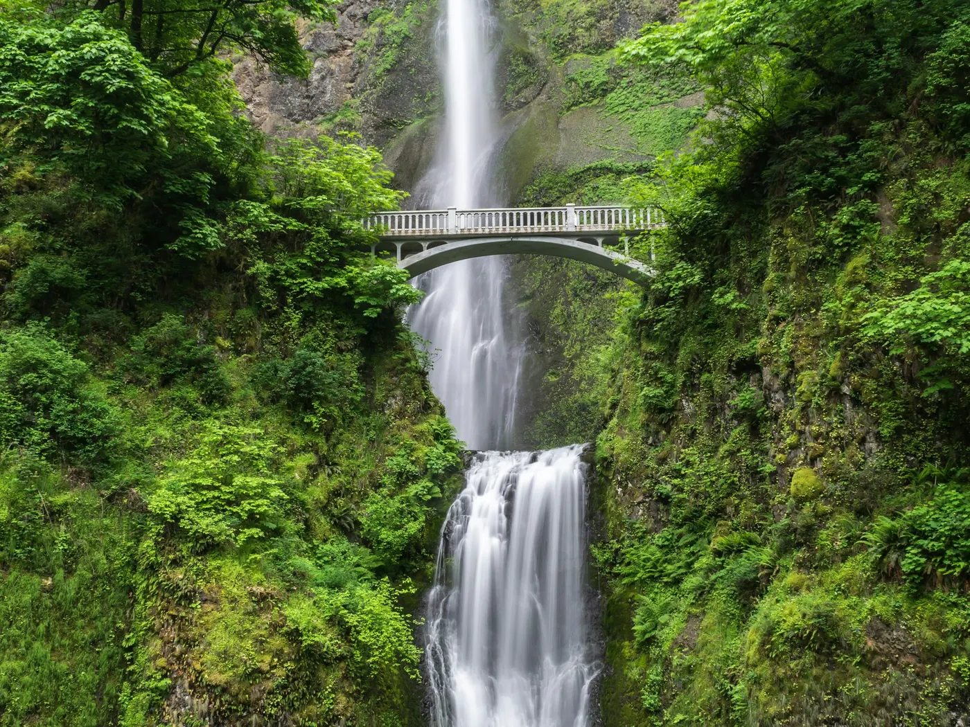
Capitol Reef
Swimming hole in St. George, Utah · Waterfall
Capitol Reef is a falls swimming hole. It is near St. George, Utah. Fee varies. Best season: Summer for refreshing swims.
Typical season: Summer for refreshing swims
About Capitol Reef
Capitol Reef lies in Utah, where Fremont River/Freemont Falls moves through a wooded corridor. Visitors trade crowds for a quieter bank access.
In the sun-scorched heart of Utah's canyon country, where ochre cliffs rise hundreds of feet above a narrow river corridor, the Fremont River offers one of the most unexpected pleasures in the American Southwest: a cool, waterfall-fed . This unofficial spot within Capitol Reef National Park rewards visitors with a genuine desert oasis. The kind of place that feels almost impossible until you're standing in it, the red rock walls towering overhead while cold water swirls around your ankles.
The air smells faintly of mineral earth and wet stone. Cottonwood trees line the riverbanks, their leaves trembling in the dry canyon breeze, and the sound of falling water reaches you before the pool itself comes into view. Fremont Falls cascades into a wide, inviting pool, and a natural sandstone water slide. Smoothed by centuries of flowing water. Offers a genuinely thrilling way to enter the water.
No lifeguards patrol Capitol Reef. Facilities are limited, so judge depth, current, and weather when you arrive.
Key facts
Structured details for trip planning — verify access and fees with the land manager before you visit.
- Water type
- Falls
- Water body
- Fremont River/Freemont Falls
- Fee
- Fee varies
- Nearest town
- St. George
- State
- Utah
- Coordinates
- 38.28467, -111.20586
- Best season
- Summer for refreshing swims; spring and fall for mild temperatures and fewer crowds. Avoid winter for .
- Access difficulty
- Easy to moderate. Paved parking area with short trails to the water. Some areas may require careful footing on rocks.
- Parking
- Designated area
- Restrooms
- None on site
- Lifeguard
- Present (seasonal)
- Cliff jumping
- Reported
- Camping
- Camping nearby at Fruita.
- Activities
- Swimming, sliding
- Facilities
- No on-site facilities at the . Nearby Fruita offers camping and picnic amenities.
- Last verified
- May 12, 2026
The experience
- Best time to visit Summer for refreshing swims; spring and fall for mild temperatures and fewer crowds. Avoid winter for .
- Access Easy to moderate. Paved parking area with short trails to the water. Some areas may require careful footing on rocks.
- Facilities No on-site facilities at the . Nearby Fruita offers camping and picnic amenities.
- Camping nearby Camping nearby at Fruita.
Highlights & features
- Natural waterfall-fed swimming hole
- Stunning red rock desert scenery
- Thrilling sandstone water slide
- Diverse local wildlife
- Excellent photography opportunities
- Natural waterfall and pool
- Sandstone water slide
- Located in a national park with geological significance
How to get there
Capitol Reef lies in Utah near St. George, Cedar City, and Escalante. Use these driving notes as a starting point and confirm road conditions before you go. Bring water, sunscreen, and gear for a primitive swim day. Weekends and holidays can draw more visitors. Check local updates on access and water levels before you leave home.
-
Overview
The Capitol Reef . This natural spot features a waterfall that creates a large pool below, perfect for a refreshing dip. Please note that . Additionally, as this is a desert environment, it is important to stay on designated trails to protect the delicate vegetation and soil. turn-by-turn Driving Directions: From Escalante, UT:
-
Begin in the town of Escalante, located about 100 miles east of Cedar City. Take Highway 12 (RT 12) northeast. Follow this scenic route as it winds through the area.
Continue on Highway 12 until you reach Highway 24 (RT 24) .
-
Turn onto Highway 24 and head east toward the Capitol Reef National Park Visitor Center.
From the Capitol Reef Visitor Center: Once at the Visitor Center, continue driving east on Highway 24 (RT 24) for about 6.6 miles . Look for mile marker 86.5 on the highway. This will help you identify the location.
-
Parking
At mile marker 86.5, you will find a large paved pull-out on the north side of the highway . This area serves as the parking lot for the .
-
The pull-out includes several informational signs. Park your vehicle here. Accessing the
The waterfall and . The river flows over the waterfall, creating a large pool below. There are several trails leading down to the water. Please use these designated paths to avoid damaging the fragile desert ecosystem. Important Notes: Safety Warning: Do not swim in the pool during high flow conditions, as the water can be dangerous. Environmental Responsibility: The desert environment is fragile. Avoid stepping on or disturbing the biological soil crusts
-
(dark, bumpy patches of soil) and stay on marked trails at all times. Facilities
There are no restrooms, picnic areas, or other facilities at this location. Plan accordingly and pack out all trash. Have a safe visit to this beautiful natural feature, and remember to respect the environment to preserve it for future visitors!
Plan your visit
Capitol Reef works well as a day trip from St. George or Cedar City. Stock up in town, then head to the water with food, water, and sun protection. Combine the swim with camping at Mona Rope Swings or browse more Utah waterfall spots in our directory. For the full list in Utah, see our state directory.
Access & fees
This is an unofficial, undeveloped site with no amenities. Parking is at a paved highway pull-out. A fee status is unknown. Always stay on visible trails to protect the delicate biological soil crusts and vegetation.
Top picks for this trip
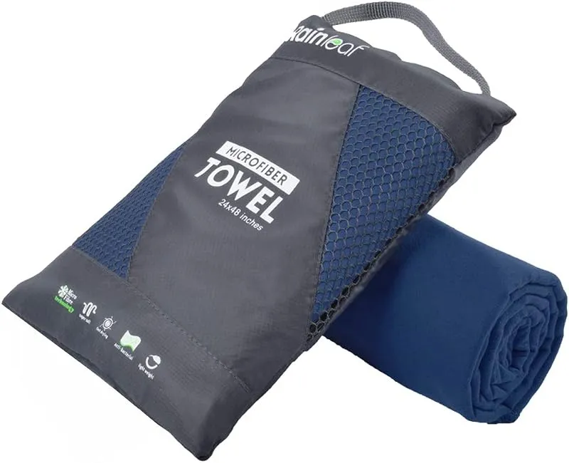
Rainleaf Microfiber Towel
Buy two — a large for drying off and a small for gear — and you still spend less than one cotton beach towel.
Check price on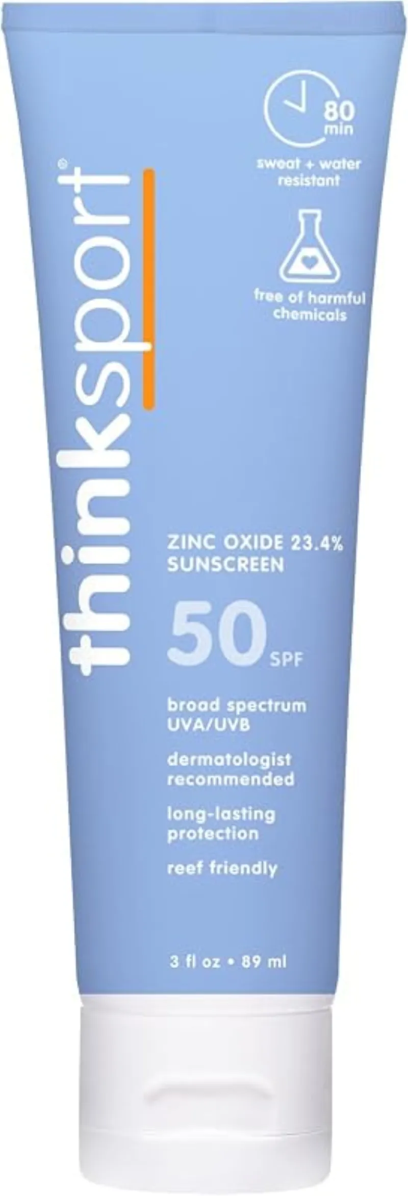
ThinkSport Sport Mineral Sunscreen
The best blend of reef-safety, protection, and wearability — start here.
Check price onDisclosure: Gear links may earn a commission as an Amazon Associate — at no extra cost to you. Learn more.
What to pack for Capitol Reef
Gear we compare side by side for waterfall swims like this one — water access, sun, and the hike in.

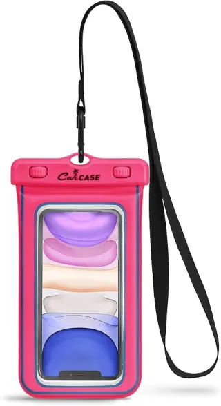
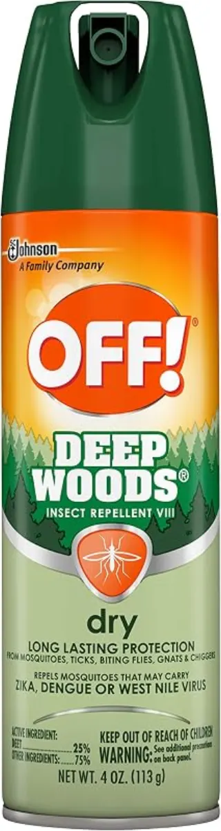
Disclosure: Gear links may earn a commission as an Amazon Associate — at no extra cost to you. Learn more.
Frequently asked questions
Can you camp at capitol reef?
Camping nearby at Fruita.
Capitol reef swimming hole?
Capitol Reef lies in [Utah](/states/utah/), where Fremont River/Freemont Falls moves through a wooded corridor. Visitors trade crowds for a quieter bank access.
Capitol reef parking?
Capitol Reef lies in Utah near St. George, Cedar City, and Escalante. Use these driving notes as a starting point and confirm road conditions before you go. Overview: The Capitol Reef . This natural spot features a waterfall that creates a large pool below, perfect for a refreshing dip. Please note that .
Capitol reef entrance fee?
Capitol Reef lists a fee of Unknown. Parking, permits, or seasonal pricing can change — check the managing agency or recent visitor reports before you go.
Early december outdoors activities?
Community trip reports mention: Hey guys Im planning a trip to utah in early december (wrote a separate itinerary in another question). Im trying to find alternative outdoors activities apart from hiking but seems its too cold for rafting or canyoneering and those companies dont offer it. Capitol Reef lies in [Utah](/states/utah/), where Fremont River/Freemont Falls moves through a wooded corridor. Visitors trade crowds for a quieter bank access. Always verify access and safety on the day you visit.
Explore more nearby swimming guides
Nearby swimming holes
Map & location
Culture & history
The Fremont River is named after explorer John C. Frémont. Capitol Reef National Park preserves ancient petroglyphs and indigenous history.
Conservation
Stick to designated trails to protect fragile desert vegetation and biological soil crusts. Follow Leave No Trace principles.
Sources & updates
Spotted outdated access, fees, or safety info? Send a correction with the page URL — we review every submission.