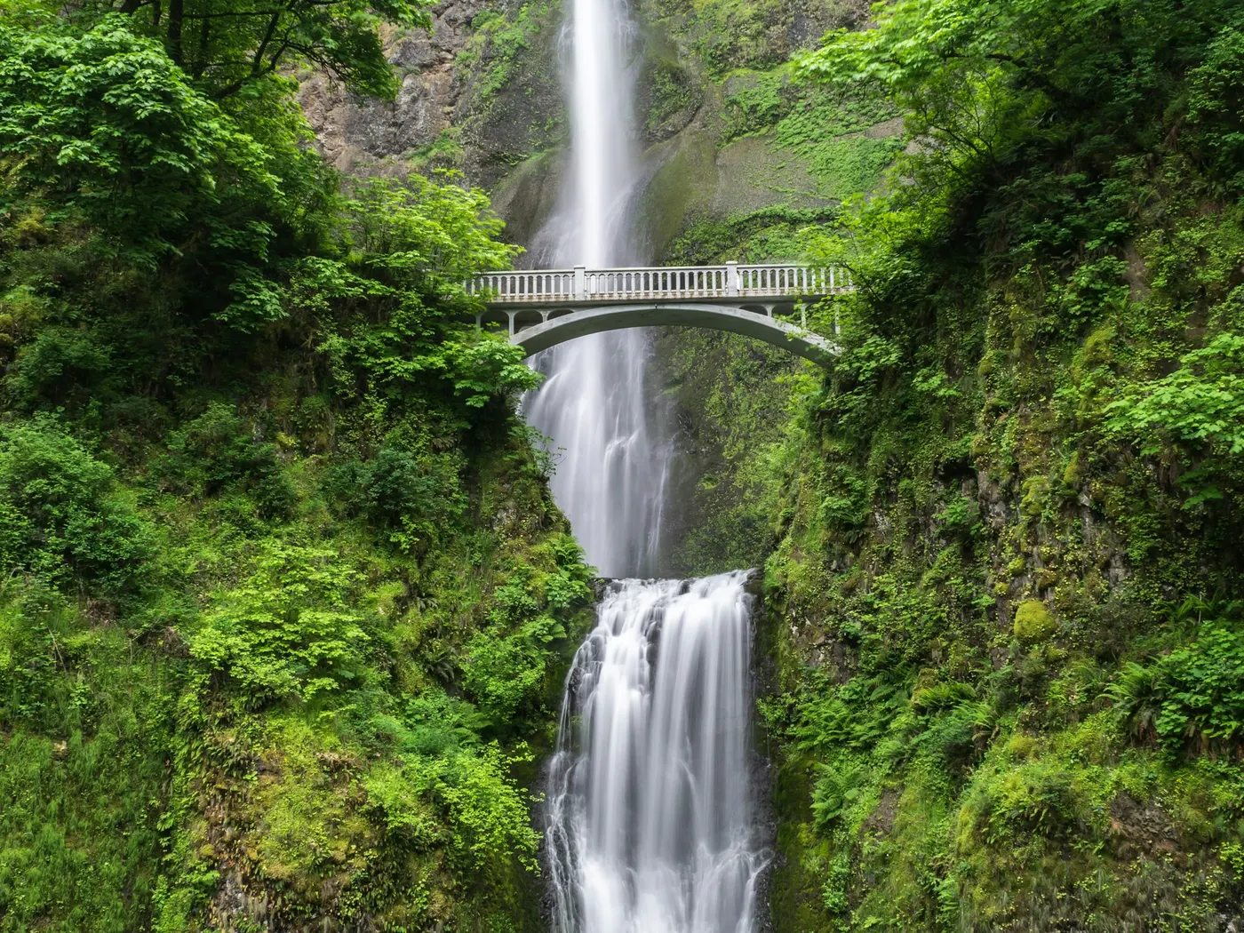
Conasauga River Swimming Spots
Swimming hole in Cleveland (tn), Tennessee · Waterfall
Conasauga River Swimming Spots is a waterfall/river swimming hole. It is near Cleveland (tn), Tennessee. Access is free. Best season: Late spring through early fall when temperatures are warm and water conditions are optimal.
Typical season: Late spring through early fall when temperatures are warm and water conditions are optimal
About Conasauga River Swimming Spots
Conasauga River Swimming Spots gives you waterfall/river swimming access near Cleveland (Tn) in Tennessee. Expect a natural bank, not a built beach.
Here, where the Jacks River and the Conasauga River wind through forested hollows and over smooth river rock, you can wade into cool, gin-clear currents and feel the pressures of modern life dissolve with every step downstream. These are unofficial spots. No ropes, no rangers, no snack bars. Just river, forest, and sky.
The landscape here is lush and layered. Hardwood canopy stretches overhead, filtering afternoon light into shifting patterns on the riverbed. The forest floor along both rivers is alive with ferns, wildflowers, and the kind of biodiversity that draws naturalists from across the Southeast. The Conasauga River watershed is one of the most biologically rich freshwater corridors in the entire United States, harboring rare fish, mussels, and aquatic invertebrates that thrive in its exceptionally clean water. As you pick your way down to the river along gravel paths, you may hear the distant rumble of Jacks River Falls before you see it. A genuine reward for the effort of getting there. The Cherokee people knew this land intimately for centuries, and their heritage runs as deep here as the river itself, lending the whole area a quiet sense of history. The kind of clarity that makes snorkeling a genuine pleasure rather than an afterthought.
No lifeguards patrol Conasauga River Swimming Spots. Facilities are limited, so judge depth, current, and weather when you arrive.
Key facts
Structured details for trip planning — verify access and fees with the land manager before you visit.
- Water type
- Waterfall/River
- Water body
- Jacks River/Conasauga River
- Fee
- Free
- Nearest town
- Cleveland (tn)
- State
- Tennessee
- Best season
- Late spring through early fall when temperatures are warm and water conditions are optimal. Avoid winter for .
- Access difficulty
- Moderate. Gravel roads and trails require proper footwear and some physical effort. Accessible but requires planning.
- Parking
- Designated area
- Lifeguard
- Present (seasonal)
- Camping
- Primitive camping near the Jacks River Falls (in restricted locations, see sign at site) and up and down the Jacks River. The area near falls was heavily over-used for camping, that is the reason for the restrictions - camp elsewhere, please. Developed camping at Sylco campground (N.F.) north of here. Organized camping at Fort Mountain S. P.; go south into Georgia on RT 411 to Chatsworth then east on RT 52 to the state park. Also camping at Lake Conasuaga N F. Campground near there.
- Land manager
- U.S. Forest Service
- Activities
- Swimming, snorkeling
- Facilities
- Primitive camping near Jacks River Falls, developed camping at Sylco Campground, and organized camping at Fort Mountain State Park.
- Last verified
- May 12, 2026
The experience
- Best time to visit Late spring through early fall when temperatures are warm and water conditions are optimal. Avoid winter for .
- Access Moderate. Gravel roads and trails require proper footwear and some physical effort. Accessible but requires planning.
- Facilities Primitive camping near Jacks River Falls, developed camping at Sylco Campground, and organized camping at Fort Mountain State Park.
- Camping nearby Primitive camping near the Jacks River Falls (in restricted locations, see sign at site) and up and down the Jacks River. The area near falls was heavily over-used for camping, that is the reason for the restrictions - camp elsewhere, please. Developed camping at Sylco campground (N.F.) north of here. Organized camping at Fort Mountain S. P.; go south into Georgia on RT 411 to Chatsworth then east on RT 52 to the state park. Also camping at Lake Conasuaga N F. Campground near there.
Highlights & features
- Crystal-clear waters for swimming and snorkeling
- Rich Cherokee cultural history
- Diverse wildlife and plant life
- Seasonal beauty with ideal visits in spring and fall
- Nearby camping and hiking options
- Dual rivers offering varied swimming experiences
- Historical ties to Cherokee heritage
- Rare biodiversity in aquatic and forest ecosystems
How to get there
Conasauga River Swimming Spots lies in Tennessee near Cleveland (Tn), Ocoee (Tn), and Conasauga (Tn). Use these driving notes as a starting point and confirm road conditions before you go. Bring water, sunscreen, and gear for a primitive swim day. Weekends and holidays can draw more visitors. Check local updates on access and water levels before you leave home.
-
Starting Point: Cleveland, TN Destination: Conasauga River
Begin in Cleveland, TN:
-
Head east on Route 64/74 toward Ocoee, TN. This road will take you toward the Ocoee River and the nearby recreational areas.
-
Turn South on Route 411
When you reach Ocoee, TN, turn south onto Route 411. Continue on Route 411 for about 6.6 miles. You will pass through the small community of Old Fort, TN during this stretch.
-
Turn East onto Route 313 (Ladds Springs Road)
After 6.6 miles on Route 411, turn left (east) onto Route 313, which is signed as Ladds Springs Road. Reset your odometer here to track distances more easily.
-
Enter the Cherokee National Forest
Continue on Route 313 for about 3 miles. At this point, the road transitions into J. Wilson Road. Stay straight on J. Wilson Road as you enter the Cherokee National Forest. Turn Right onto Forest Road 211: At about 4 miles from Route 411, turn right onto Forest Road 211 (FR 211). This road may be gravel in some sections, so drive carefully. Follow Forest Road 211 to the Parking Area: Continue on FR 211 for 4.4 miles. Along the way, you’ll notice the forest becoming denser and the road winding through scenic natural areas. After 4.4 miles, you’ll see a parking area and picnic area on the right side of the road. Final Details: The parking area is well-marked and provides access to the trailhead for Trail #61. Trail #61 leads to the Conasauga River . Be prepared for a short hike to reach the river. The picnic area is a great spot to relax before or after your swim. Bring sturdy footwear for the trail and bring any supplies you may need, as there are few developed facilities in the area. Have a safe visit to the Conasauga River !
Plan your visit
Conasauga River Swimming Spots works well as a day trip from Cleveland (Tn) or Ocoee (Tn). Stock up in town, then head to the water with food, water, and sun protection. Combine the swim with camping at Smoky Mountain Central Tennessee Swimming Holes or browse more Tennessee river spots in our directory. For the full list in Tennessee, see our state directory.
Access & fees
Access is via Forest Road 211 in Cherokee National Forest. The road may be gravel; a standard vehicle is usually sufficient in dry conditions. Parking is at an undeveloped picnic area. A short hike on Trail #61 is required to reach the river. This is an unofficial, unmaintained recreation site. pack out all trash and respect the natural environment.
Top picks for this trip
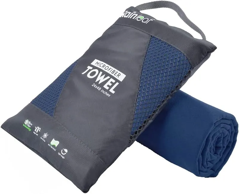
Rainleaf Microfiber Towel
Buy two — a large for drying off and a small for gear — and you still spend less than one cotton beach towel.
Check price on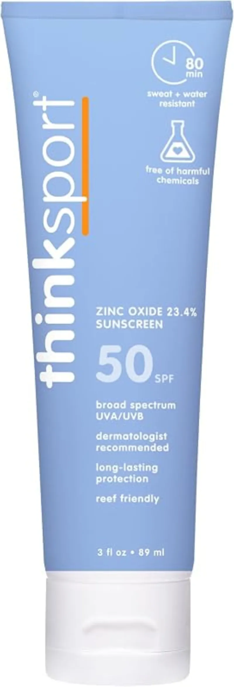
ThinkSport Sport Mineral Sunscreen
The best blend of reef-safety, protection, and wearability — start here.
Check price onDisclosure: Gear links may earn a commission as an Amazon Associate — at no extra cost to you. Learn more.
What to pack for Conasauga River Swimming Spots
Gear we compare side by side for waterfall swims like this one — water access, sun, and the hike in.

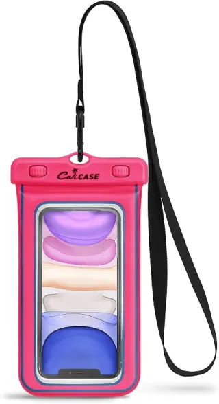
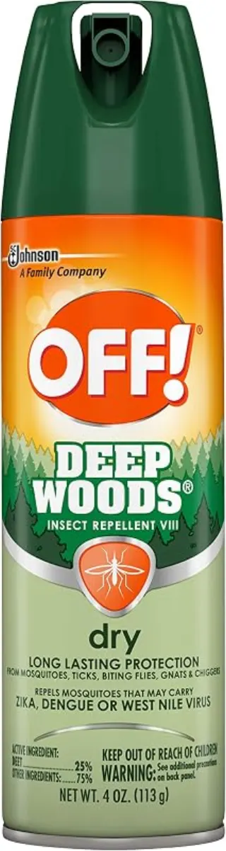
Disclosure: Gear links may earn a commission as an Amazon Associate — at no extra cost to you. Learn more.
Frequently asked questions
Can you swim at Conasauga River Swimming Spots?
Yes. Conasauga River Swimming Spots near Cleveland (Tn), Ocoee (Tn), and Conasauga (Tn) in TN is a waterfall/river swimming spot on Jacks River/Conasauga River. Scout depth and current before entering — no lifeguards at most natural access points.
Is Conasauga River Swimming Spots free?
Access is generally free (fee listed as “None”). Confirm any parking or day-use rules on site, and pack out trash.
How do you get to Conasauga River Swimming Spots?
Conasauga River Swimming Spots is in TN within day-trip range of Cleveland (Tn), Ocoee (Tn), and Conasauga (Tn). Use a current map for the put-in or park entrance; cell service can be limited at remote spots.
Explore more nearby swimming guides
Regional guide
This spot is featured in our Conasauga River & falls swimming roundup with related swimming holes in Tennessee.
Nearby swimming holes
Culture & history
Part of Cherokee ancestral lands, with rivers serving as resources for sustenance and spiritual practices.
Conservation
Follow Leave No Trace principles. Avoid camping near falls due to environmental restrictions. Respect wildlife and maintain cleanliness.
Sources & updates
Official land managers cited on this page
Always confirm current rules, closures, and fees on the agency site before visiting.
Spotted outdated access, fees, or safety info? Send a correction with the page URL — we review every submission.