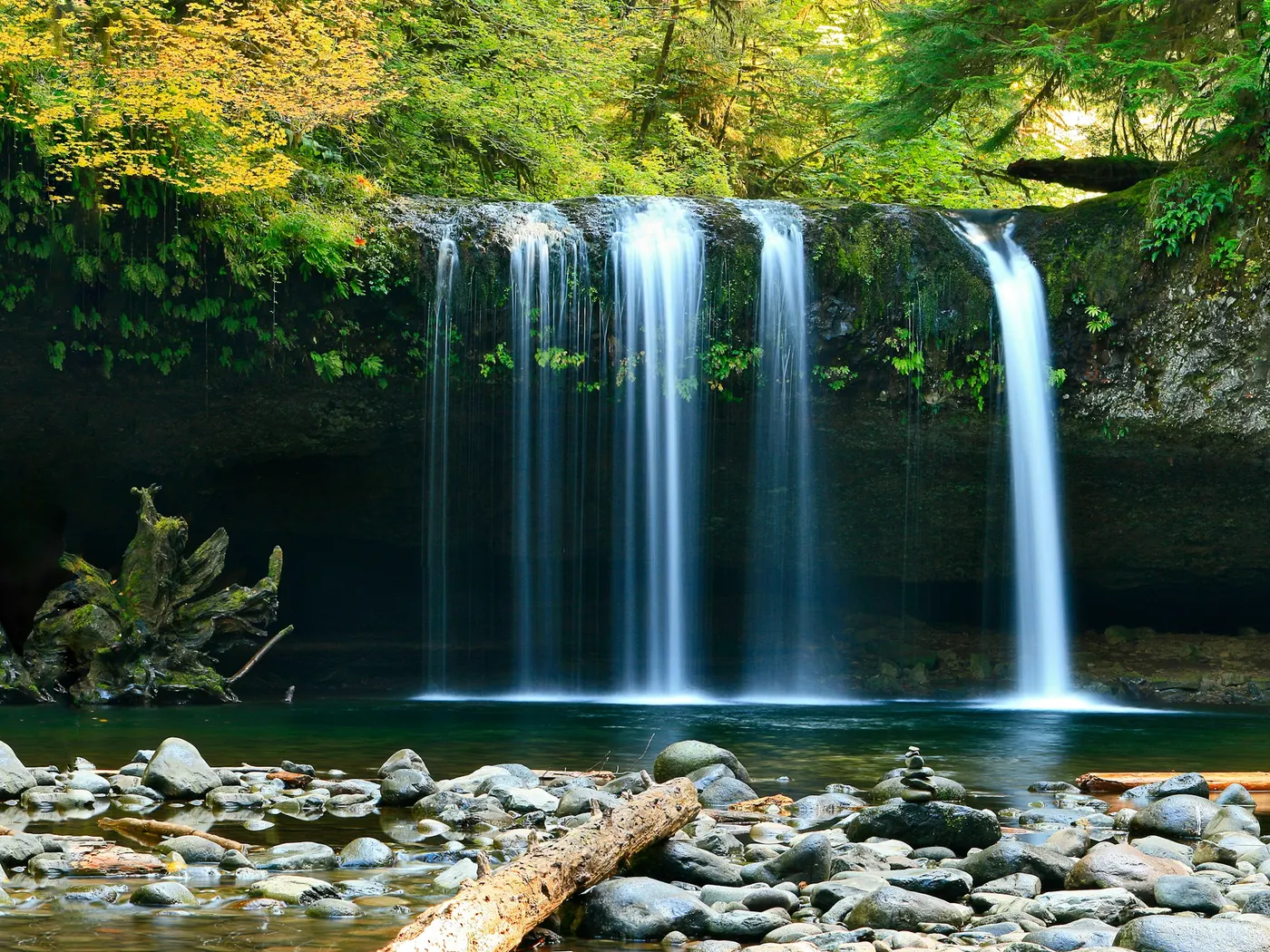
Eau Claire River
Swimming hole in Eau Claire, Wisconsin · River
Eau Claire River is a river swimming hole. It is near Eau Claire, Wisconsin. Access is free. Best season: Summer (June to August) for warm weather and ideal.
Typical season: Summer (June to August) for warm weather and ideal
About Eau Claire River
Eau Claire River sits in Wisconsin. Swimmers come for a natural day on the water without resort amenities.
There are no signs directing you here, no snack bars, no roped-off swim zones. Just a living, breathing river corridor where sand, water, and woodland meet on their own terms. If you're the sort of traveler who prefers a sandbar to a .
The riverbanks here are defined by sandy beaches that literally reshape themselves each year. Spring snowmelt churns through the channel every April and May, rearranging sandbars, carving new inlets, and depositing fresh beaches where there may have been none the previous summer. What you find in June might look entirely different by the following season. And that's part of the appeal. Low-growing vegetation lines the banks, and the surrounding forest buzzes with birdsong and the occasional rustle of wildlife moving through the understory. In autumn, the tree canopy overhead transforms into a cathedral of amber, rust, and gold, making fall visits unexpectedly spectacular even when the water runs too cool for swimming. If you venture upstream, the terrain grows quieter and more secluded, and you may even catch the distant sound of horse trails threading through the woods. A reminder that this corridor serves a whole community of outdoor enthusiasts beyond swimmers alone. The river moves at a relaxed pace through summer, and the sandy shallows warm pleasantly under the sun, making mid-summer the sweet spot for a full afternoon on the water.
No lifeguards patrol Eau Claire River. Facilities are limited, so judge depth, current, and weather when you arrive.
Key facts
Structured details for trip planning — verify access and fees with the land manager before you visit.
- Water type
- River
- Water body
- Eau Claire River
- Fee
- Free
- Nearest town
- Eau Claire
- State
- Wisconsin
- Coordinates
- 44.81753, -91.35574
- Best season
- Summer (June to August) for warm weather and ideal .
- Access difficulty
- Moderate. Trails can be sandy and steep; sturdy shoes recommended. Access requires walking from the parking area to the river.
- Parking
- Designated area
- Lifeguard
- Present (seasonal)
- Camping
- None at site.
- Activities
- Swim, wade, sun, beach games
- Facilities
- No facilities available. You should bring their own supplies, including water, snacks, and sun protection.
- Last verified
- May 12, 2026
The experience
- Best time to visit Summer (June to August) for warm weather and ideal .
- Access Moderate. Trails can be sandy and steep; sturdy shoes recommended. Access requires walking from the parking area to the river.
- Facilities No facilities available. You should bring their own supplies, including water, snacks, and sun protection.
- Camping nearby None at site.
Highlights & features
- Shallow sandy beaches
- Dynamic terrain shaped by spring melt
- Secluded upstream spots
- Rich wildlife and plant life
- No facilities—pure natural experience
- Annually shifting beaches due to spring melt
- Secluded nude-friendly areas upstream
- Horse trails audible in the distance
How to get there
Eau Claire River lies in Wisconsin near Eau Claire, Chippewa Falls, and Fall Creek. Use these driving notes as a starting point and confirm road conditions before you go. Bring water, sunscreen, and gear for a primitive swim day. Weekends and holidays can draw more visitors. Check local updates on access and water levels before you leave home.
-
Location: Eau Claire River State: Wisconsin Nearby Towns
-
Eau Claire, Chippewa Falls, Fall Creek turn-by-turn Driving Directions
Starting Point:
-
Begin in downtown Eau Claire, WI.
-
Take Birch Street East
-
Head east on Birch Street. Stay left on Birch Street as it merges with County Road QQ.
Do not cross the river bridge.
-
Turn Right to Stay on County Road QQ
After merging onto County Road QQ, turn right to remain on this road. County Road QQ will merge with North Shore Drive. Continue East: Follow County Road QQ/North Shore Drive as it continues east. Note that North Shore Drive may briefly change names to Bullhead Pond Drive and then revert back to North Shore Drive. Pass Landmarks: Drive past Phillips County Park and South 82nd Avenue. Locate the Trailhead: about 0.6 miles past South 82nd Avenue, look for a trailhead parking area on the south side of County Road QQ . The trailhead coordinates are Latitude: 44.818296, Longitude: -91.354126 .
-
Parking and Trail Information
-
Parking
Park at the trailhead near the berm located at the above coordinates. The berm blocks automobile access further down the trail, so this is the only parking area available for accessing the . Trail Details: From the parking area, follow the trail heading generally south and west toward the river. The trail winds and becomes sandy in sections. During summer months, the sand can get very hot, so wearing sturdy shoes is recommended. River Access: At Latitude: 44.817532, Longitude: -91.355744 , you will find a small, steep trail leading south off the main trail toward the river. This trail is worn down from horse traffic and provides direct access to the main beach. : Main Beach: The main beach lies at Latitude: 44.817532, Longitude: -91.355744 . This area is popular and frequented by families, teens, and anglers. The river here is typically ankle to waist deep, with a sandy bottom. Water levels may rise and currents may quicken during spring or after heavy rain. Seasonal Changes: The beach and surrounding areas may shift in appearance each year due to spring melt. Small islands may form or disappear depending on the river’s flow. Exploration: If you walk upstream, you may find more secluded beaches, including areas on the backside of islands. These spots are quieter and a strong choice for sunbathing or swimming.
-
Additional Notes: Trail Conditions
-
Be mindful of horse traffic on the trail behind the beach. Horses are often audible before visible. Water Safety
Keep an eye on the current and water depth, especially after heavy rainfall. Privacy Considerations: If exploring upstream, be aware of paddlers or other visitors approaching from the water. Have a safe visit to the Eau Claire River !
Plan your visit
Eau Claire River works well as a day trip from Eau Claire or Chippewa Falls. Stock up in town, then head to the water with food, water, and sun protection. Combine the swim with camping at Amnicon Falls S.P. or browse more Wisconsin river spots in our directory. For the full list in Wisconsin, see our state directory.
Access & fees
Access is via an unofficial trail from a public trailhead parking area. No facilities or services are present. The area is not a designated park or supervised swimming area.
Top picks for this trip
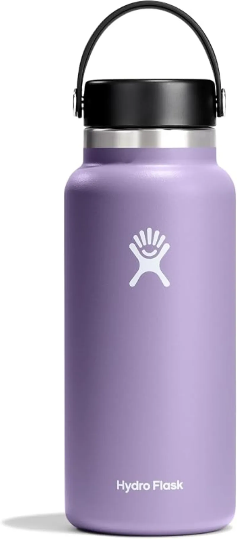
Hydro Flask Wide Mouth Bottle
A do-everything bottle that holds ice through a full hot day at the water.
Check price on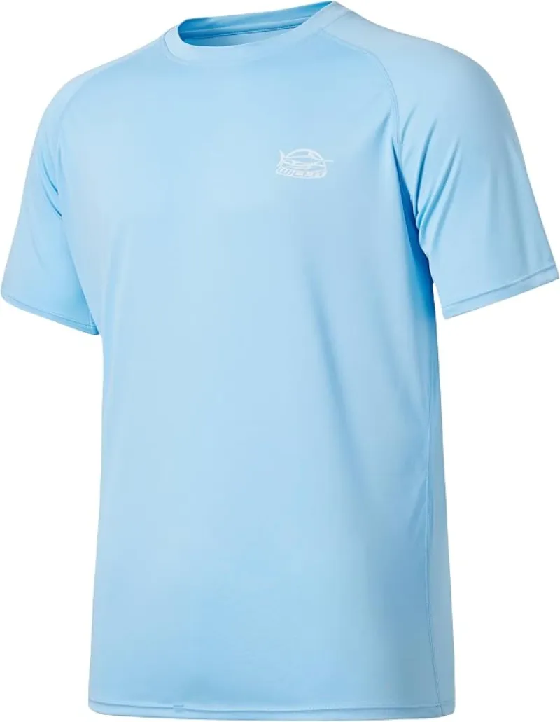
Willit Rashguard Swim Shirt UPF 50+
The best all-around sun shirt for swimming holes — light enough to swim in, dry enough to hike out in.
Check price onDisclosure: Gear links may earn a commission as an Amazon Associate — at no extra cost to you. Learn more.
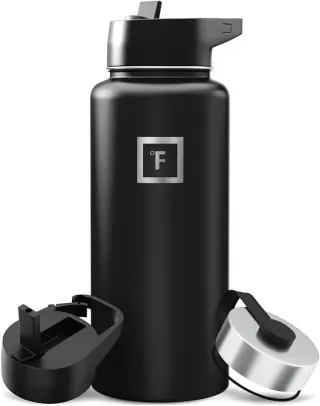
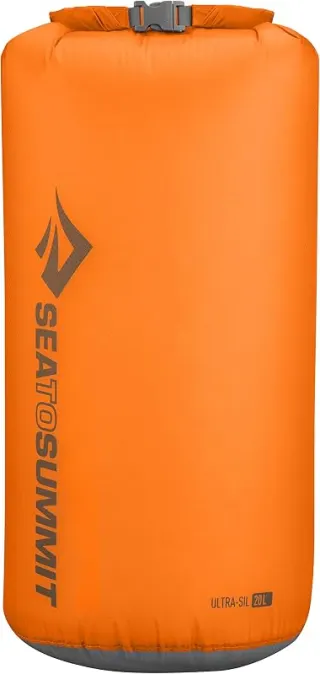
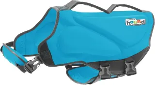
What to pack for Eau Claire River
Gear we compare side by side for river swims like this one — water access, sun, and the hike in.

Disclosure: Gear links may earn a commission as an Amazon Associate — at no extra cost to you. Learn more.
Frequently asked questions
Can you swim at Eau Claire River?
Yes. Eau Claire River near Eau Claire, Chippewa Falls, and Fall Creek in WI is a river swimming spot on Eau Claire River. Scout depth and current before entering — no lifeguards at most natural access points.
Is Eau Claire River free?
Access is generally free (fee listed as “None”). Confirm any parking or day-use rules on site, and pack out trash.
How do you get to Eau Claire River?
Eau Claire River is in WI within day-trip range of Eau Claire, Chippewa Falls, and Fall Creek. Use a current map for the put-in or park entrance; cell service can be limited at remote spots.
Explore more nearby swimming guides
Nearby swimming holes
Map & location
Culture & history
The name 'Eau Claire' reflects the area's French and Ojibwe heritage, highlighting the cultural and historical significance of the region.
Conservation
Follow Leave No Trace principles: pack out all trash, respect wildlife, and avoid disrupting natural habitats. Protect the river's delicate ecosystem.
Sources & updates
Spotted outdated access, fees, or safety info? Send a correction with the page URL — we review every submission.