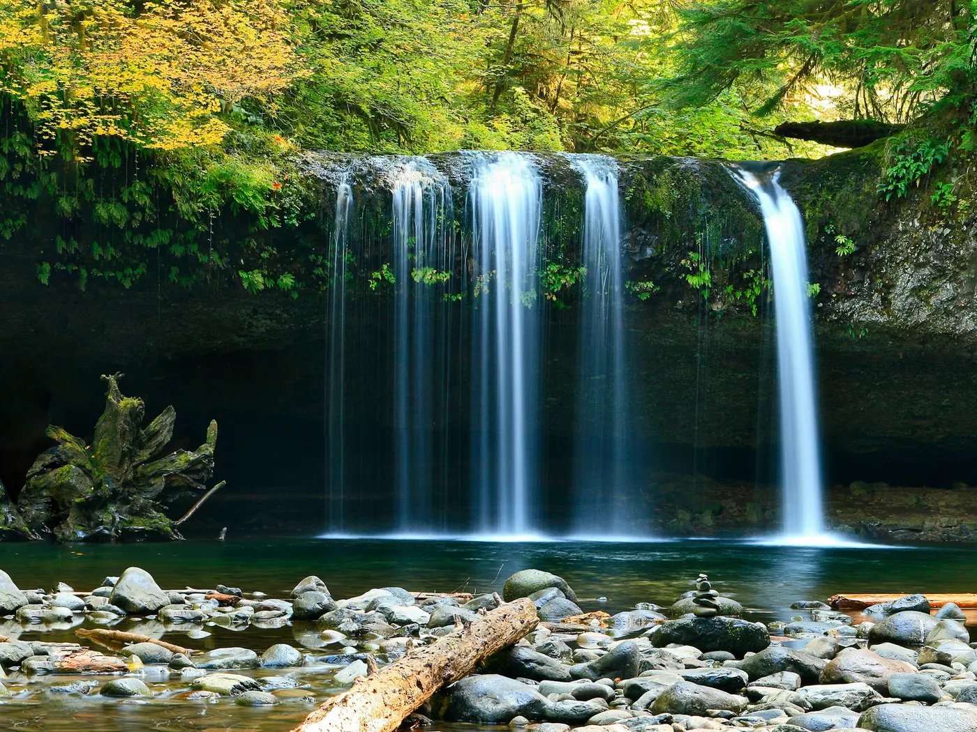
(merr)
Swimming hole in Concord, New Hampshire · River
(merr) is a river swimming hole. It is near Concord, New Hampshire. Fee varies. Best season: Summer months, particularly June through August, offer the warmest water temperatures and lush greenery.
Typical season: Summer months, particularly June through August, offer the warmest water temperatures and lush greenery
About (merr)
(Merr) gives you river swimming access near Concord in New Hampshire. Expect a natural bank, not a built beach. This is the kind of place locals have known about for generations, passed along by word of mouth rather than glossy tourism brochures. The Merrimack River here moves with the quiet authority of a waterway that has shaped this region for centuries. The banks are lined with the kind of lush New England greenery that deepens to a rich, shadowed green by midsummer. Overhanging trees, tall grasses, and wildflowers that hum with insects on warm afternoons. Birdsong is a constant companion; the wildlife-rich environment along the river corridor draws warblers, herons, and kingfishers, making this as much a birdwatching destination as a scenic swimming spot. The untouched natural setting gives the whole place an unhurried, almost timeless quality. You reach the water via an accessible dirt trail that involves a slight incline and some uneven footing. Nothing that requires technical gear, but enough to remind you that this is a real outdoor experience, not a curated one. Treat (Merr) as a wild swim: no lifeguard, variable depth, and rules that can change by season.
Key facts
Structured details for trip planning — verify access and fees with the land manager before you visit.
- Water type
- River
- Water body
- Merrimack River
- Fee
- Fee varies
- Nearest town
- Concord
- State
- New Hampshire
- Coordinates
- 43.25697, -71.55885
- Best season
- Summer months, particularly June through August, offer the warmest water temperatures and lush greenery. Early autumn is a strong choice for foliage photography and cooler swims.
- Access difficulty
- Moderate. The dirt trail requires navigating a slight incline and uneven terrain, suitable for individuals with basic mobility.
- Parking
- Designated area
- Restrooms
- None on site
- Lifeguard
- None — assume unguarded
- Activities
- Swimming
- Facilities
- There are no on-site facilities. You should bring essentials such as water, snacks, and towels. The lack of amenities preserves the area's natural charm.
- Listing last updated
- May 12, 2026
The experience
- Best time to visitSummer months, particularly June through August, offer the warmest water temperatures and lush greenery. Early autumn is a strong choice for foliage photography and cooler swims.
- AccessModerate. The dirt trail requires navigating a slight incline and uneven terrain, suitable for individuals with basic mobility.
- FacilitiesThere are no on-site facilities. You should bring essentials such as water, snacks, and towels. The lack of amenities preserves the area's natural charm.
Highlights & features
- Cool, refreshing water
- Scenic riverbank views
- Birdwatching opportunities
- Accessible dirt trail
- Nearby walking trails
- Untouched natural setting
- Historical significance of the Merrimack River
- Proximity to Concord attractions
How to get there
(Merr) lies in New Hampshire near Concord. Use these driving notes as a starting point and confirm road conditions before you go.
Starting Point
Begin by taking Exit 15 off Interstate 93 (I-93) in Concord, New Hampshire. Route 3 North
After exiting, merge onto Route 3 North. Continue driving for about 1.5 miles. You will pass the New Hampshire State Prison on your left. Fork in the Road: As you approach a slight fork in the road, Route 3 will veer to the left. Look for a sign indicating Beaver Meadow Golf Course. At this fork, bear right onto Sewall’s Falls Road, heading toward Beaver Meadow.
Landmark - Beaver Meadow School
Drive along Sewall’s Falls Road until you see Beaver Meadow School on your right-hand side.
Turn onto Second Street
Just past the school, take a right onto Second Street. Follow this road downhill into a residential area.
Cross Railroad Tracks
At the bottom of the hill, you will cross a set of railroad tracks. Once you cross the tracks, you will enter property managed by the New Hampshire Department of Environmental Services (NHDES).
Parking Area
After crossing the tracks, turn left into the parking area. Note that there are two parking areas: The parking area on the left is designated for accessing the swimming area. The parking area on the right is intended for visitors exploring walking and mountain biking trails along the Merrimack River.
Trail to the
From the left-side parking area, locate the dirt trail at the end of the lot. Follow this trail, which leads up a slight incline and then descends to the banks of the Merrimack River. This is where the swimming area.
Helpful notes
The area is primarily residential, so drive carefully and be mindful of local traffic. The trail is unpaved, so wear appropriate footwear for walking on uneven terrain. Parking is free, but space may be limited during busy times. Plan accordingly. Have a safe visit to the Merrimack River ! Bring water, sunscreen, and gear for a primitive swim day. Weekends and holidays can draw more visitors. Check local updates on access and water levels before you leave home.
Plan your visit
(Merr) works well as a day trip from Concord. Stock up in town, then head to the water with food, water, and sun protection. Nearby options include Weare (about 14 mi away) and Merrimack River (about 23 mi away). For the full list in New Hampshire, see our state directory.
Access & fees
Access is unofficial. Parking is in a designated lot after crossing railroad tracks on NHDES property. A second lot serves trail users. No facilities are present. The trail to the river is unpaved and uneven.
Frequently asked questions
Can you swim at (Merr)?
Yes. (Merr) near Concord in NH is a river swimming spot on Merrimack River. Scout depth and current before entering — no lifeguards at most natural access points.
How much does (Merr) cost?
Fees for this spot aren't confirmed. Rates and policies change — verify with the land manager before you drive.
How do you get to (Merr)?
(Merr) is in NH within day-trip range of Concord. Use a current map for the put-in or park entrance; cell service can be limited at remote spots.
Explore more nearby swimming guides
Nearby swimming holes
Map & location
Culture & history
The Merrimack River has been a vital part of Concord's history, supporting trade and transportation in the 19th century and now serving as a recreational hub.
Conservation
Follow Leave No Trace principles: pack out all trash, avoid disturbing wildlife, and refrain from using soaps or chemicals in the water to maintain its purity.
Sources & updates
Reference sources
Spotted outdated access, fees, or safety info? Send a correction with the page URL — we review every submission.