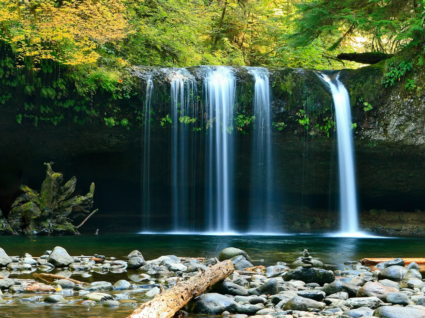
Au Sable River Swimming Holes
Swimming hole in Plattsburgh, New York · River
Au Sable River Swimming Holes is a river swimming hole. It is near Plattsburgh, New York. Access is free. Best season: Summer months (June to August) are a strong choice for swimming.
Typical season: Summer months (June to August) are a strong choice for swimming
About Au Sable River Swimming Holes
Au Sable River Swimming Holes is a River swimming destination near Plattsburgh in New York. The setting stays informal and low-key.
The Ausable River carves its way through northern New York in a series of bends, pools, and riffles, and along the stretch near Au Sable Forks, Jay, and Upper Jay, locals have long known where to slip into the current on a hot summer afternoon. These are unofficial spots. No roped-off lanes, no snack bars, just cold, clear Adirondack water and the sound of the river moving over stone.
The Setting The landscape here is quintessential Adirondacks: forested ridges drop toward the riverbanks, and the air carries the clean scent of pine and moving water. Boulders worn smooth by centuries of current line the shores, offering natural perches for sunbathing between swims. The river corridor is rich with wildlife. Watch for great blue herons picking their way along the shallows, and listen for the occasional kingfisher rattling overhead. One of the area's most striking features is the presence of a historic dam near certain .
No lifeguards patrol Au Sable River Swimming Holes. Facilities are limited, so judge depth, current, and weather when you arrive.
Key facts
Structured details for trip planning — verify access and fees with the land manager before you visit.
- Water type
- River
- Water body
- Ausable River
- Fee
- Free
- Nearest town
- Plattsburgh
- State
- New York
- Coordinates
- 44.37286, -73.72500
- Best season
- Summer months (June to August) are a strong choice for swimming. For quieter visits, early fall (September to October) offers cooler temperatures and stunning foliage.
- Access difficulty
- Moderate. Accessible by car with a short walk to the .
- Parking
- Designated area
- Lifeguard
- Present (seasonal)
- Activities
- Swimming
- Facilities
- Picnic tables are available near the .
- Last verified
- May 12, 2026
The experience
- Best time to visit Summer months (June to August) are a strong choice for swimming. For quieter visits, early fall (September to October) offers cooler temperatures and stunning foliage.
- Access Moderate. Accessible by car with a short walk to the .
- Facilities Picnic tables are available near the .
Highlights & features
- Crystal-clear waters
- Rich historical context
- Abundant wildlife
- Scenic photography spots
- Nearby picnic facilities
- Swimming near a historic dam
- Lush Adirondack surroundings
- Blend of natural beauty and cultural history
How to get there
Au Sable River Swimming Holes lies in New York near Plattsburgh, Au Sable Forks, and Jay. Use these driving notes as a starting point and confirm road conditions before you go. Bring water, sunscreen, and gear for a primitive swim day. Weekends and holidays can draw more visitors. Check local updates on access and water levels before you leave home.
-
General Overview
-
The Au Sable River . These directions will guide you to a . turn-by-turn Directions
Starting Point: Begin your journey on Interstate 87 (I-87). If traveling from the north, take Exit 34 for Keeseville. Follow Route 9N South: After exiting I-87, turn onto Route 9N heading south. Continue driving on Route 9N toward Au Sable Forks.
-
Entering Au Sable Forks
Once you reach Au Sable Forks, look for Mill Road (County Route 9T). Turn west (right) onto Mill Road. Travel Along the River:
-
Mill Road runs along the south shore of the Au Sable River. Follow Mill Road carefully until you approach the dam.
The . The approximate coordinates for the site are latitude 44.44124 and longitude -73.69054. Helpful Details: Landmarks: The dam lies along Mill Road, just before Murphy Road. If needed, ask locals for directions to the dam.
-
Parking
There may be limited parking available along Mill Road near the dam. Be mindful of private property and ensure you park in designated areas. Trailhead/Access: The . Access may require walking along the riverbank, so wear appropriate footwear and exercise caution around water. Have a safe visit to the Au Sable River ! Always prioritize safety and respect the natural environment.
Plan your visit
Au Sable River Swimming Holes works well as a day trip from Plattsburgh or Au Sable Forks. Stock up in town, then head to the water with food, water, and sun protection. Nearby options include Blue Ledges Swimming Spots In The Adirondacks and Eel Weir S.P.. For the full list in New York, see our state directory.
Access & fees
This is an unofficial, non-sanctioned swimming area. Access is via Mill Road (County Route 9T) in Au Sable Forks. Parking is extremely limited along the roadside; be respectful of private property and do not block access. The swimming hole is reached by walking along the riverbank upstream of the dam.
Top picks for this trip
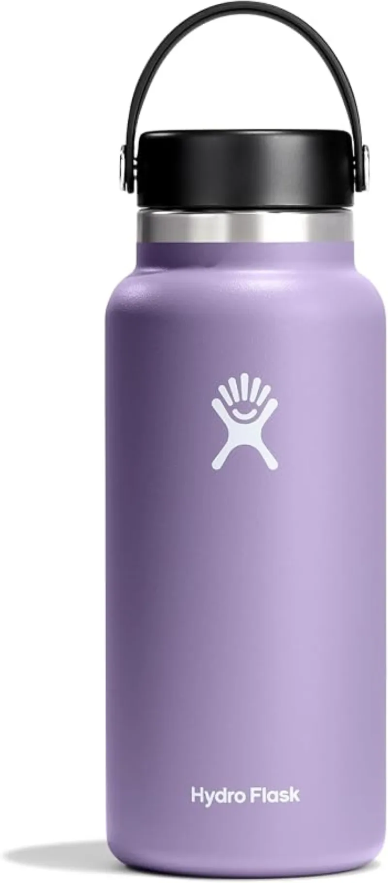
Hydro Flask Wide Mouth Bottle
A do-everything bottle that holds ice through a full hot day at the water.
Check price on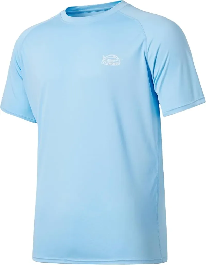
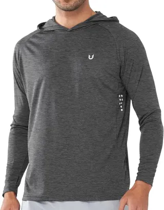
Willit Rashguard Swim Shirt UPF 50+
The best all-around sun shirt for swimming holes — light enough to swim in, dry enough to hike out in.
Check price onDisclosure: Gear links may earn a commission as an Amazon Associate — at no extra cost to you. Learn more.
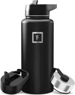
What to pack for Au Sable River Swimming Holes
Gear we compare side by side for river swims like this one — water access, sun, and the hike in.
Disclosure: Gear links may earn a commission as an Amazon Associate — at no extra cost to you. Learn more.
Frequently asked questions
Can you swim in the Au Sable River?
Yes. The Ausable River near Au Sable Forks, Jay, and Upper Jay has clear Adirondack swimming holes. Watch currents, especially near dams, and never dive without checking depth.
Is Au Sable River swimming free?
Yes. Informal river access is typically free. Use legal pullouts and respect private land.
How do you get to Au Sable swimming holes?
Plattsburgh or Lake Placid corridors, follow NY routes toward Au Sable Forks / Jay / Upper Jay, then local river access. Confirm parking is legal.
When is the best time to swim the Au Sable?
July and August for warmer water. Spring runoff is cold and fast — wait for summer flows.
Explore more nearby swimming guides
Nearby swimming holes
Map & location
Culture & history
The region was historically inhabited by Indigenous tribes such as the Iroquois and Mohawk. Later, it became a hub for trade and exploration in early American history.
Conservation
Visitors should adhere to Leave No Trace principles to preserve the area’s natural beauty. Avoid disturbing wildlife and dispose of waste responsibly.
Sources & updates
Spotted outdated access, fees, or safety info? Send a correction with the page URL — we review every submission.