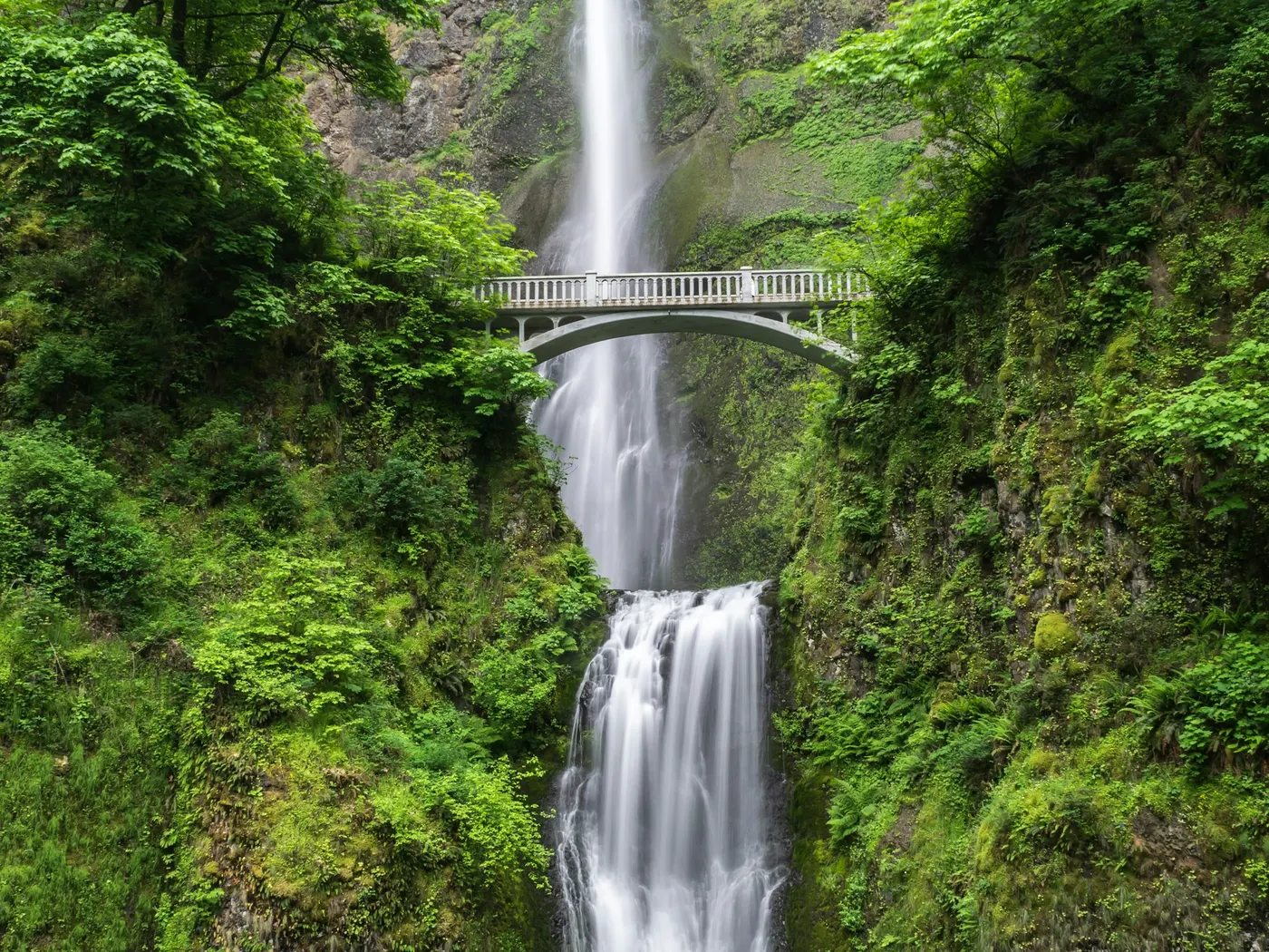
Bemis Area
Swimming hole in Elkins, West Virginia · Waterfall
Bemis Area is a falls/river swimming hole. It is near Elkins, West Virginia. Access is free. Best season: Spring for strong cascades and cool swimming.
Typical season: Spring for strong cascades and cool swimming
About Bemis Area
Near Elkins in West Virginia, Bemis Area offers a straightforward outdoor swim on Shavers Fork.
Deep in the folds of West Virginia's Monongahela National Forest, the Bemis Area along Shavers Fork offers two of the region's most rewarding. And least crowded. Natural . These are unofficial spots, raw and unhurried, where the river does what rivers have always done: carve stone, pool clear water, and invite the willing to wade in. No lifeguards, no snack bars, no crowds. Just you, the current, and the sound of water finding its way through ancient Appalachian forest. Shavers Fork winds through a landscape shaped as much by logging and railroad history as by geology.
The ghost of the old timber economy lingers here. In the quiet rail corridors, in the names of hollows, in the way the forest has grown back thick and green over old wounds. High Falls is the showpiece: a dramatic cascade that drops into a deep, swimmable pool framed by hemlocks and hardwoods. Mule Hollow is the secret. A secluded bend with a hidden overhang rock that shelters a quieter . Both sites reward patience and a willingness to earn your swim. In spring, the cascades at High Falls thunder with snowmelt and runoff, filling the pool with frothy, energizing current. Not for the faint of heart, but spectacular to witness.
Treat Bemis Area as a wild swim: no lifeguard, variable depth, and rules that can change by season.
Key facts
Structured details for trip planning — verify access and fees with the land manager before you visit.
- Water type
- Falls/river
- Water body
- Shavers Fork
- Fee
- Free
- Nearest town
- Elkins
- State
- West Virginia
- Best season
- Spring for strong cascades and cool swimming; summer for warm weather and refreshing dips; autumn for vibrant foliage and serene views.
- Access difficulty
- Moderate: Hiking to High Falls requires a 5-6 mile trek; Mule Hollow involves steep, unmarked trails and walking along railroad tracks.
- Restrooms
- None on site
- Lifeguard
- Present (seasonal)
- Camping
- Camping east of here at Laurel Fork Rec. Area or north of here at Stuart Rec. Area, both are N. F. Campgrounds.
- Land manager
- U.S. Forest Service
- Activities
- Swimming
- Facilities
- No facilities at Mule Hollow; High Falls has picnic tables and basic pit toilets. Train ride offers food and restrooms onboard.
- Last verified
- May 12, 2026
The experience
- Best time to visit Spring for strong cascades and cool swimming; summer for warm weather and refreshing dips; autumn for vibrant foliage and serene views.
- Access Moderate: Hiking to High Falls requires a 5-6 mile trek; Mule Hollow involves steep, unmarked trails and walking along railroad tracks.
- Facilities No facilities at Mule Hollow; High Falls has picnic tables and basic pit toilets. Train ride offers food and restrooms onboard.
- Camping nearby Camping east of here at Laurel Fork Rec. Area or north of here at Stuart Rec. Area, both are N. F. Campgrounds.
Highlights & features
- Scenic High Falls with deep pool
- Secluded Mule Hollow swimming spot
- Accessible by train or hiking
- Rich railroad and logging history
- Photography opportunities in all seasons
- Train access to High Falls
- Historic logging and railroad connections
- Mule Hollow's hidden overhang rock
How to get there
Bemis Area lies in West Virginia near Elkins, Glady, and Bemis. Use these driving notes as a starting point and confirm road conditions before you go. Bring water, sunscreen, and gear for a primitive swim day. Weekends and holidays can draw more visitors. Check local updates on access and water levels before you leave home.
-
High Falls Directions: By Car and Train
-
From Elkins, West Virginia, take Route 33 East to Alpena.
In Alpena, turn right onto Route 27 South and follow it to Glady.
-
From Glady, turn right onto Route 22 West and continue toward Bemis.
In Bemis, look for the railroad tracks and the small railroad station along Route 22. This is a stop for the Durbin & Greenbrier Valley Railroad. The train ride from Bemis to High Falls is about 5 miles and takes about 20 minutes. Be sure to call the railroad at 1-877-686-7245 to confirm the schedule and request a stop at Bemis, as the train only stops if passengers are waiting. The round-trip fare is about $10, and the train typically allows a 45-minute layover at High Falls before returning. Note: The train can be busy with tourists, and facilities at High Falls are limited to picnic tables and pit toilets. By Hiking:
-
From Glady, drive west on Route 22 toward Bemis.
About halfway between Glady and Bemis, look for the West Fork Rail Trail on the left (south) side of the road. Park safely near the trailhead and begin your hike on the West Fork Rail Trail heading southwest. Follow the trail for about 5-6 miles. The trail runs alongside Shavers Fork River and the Durbin & Greenbrier Valley Railroad tracks. The trail leads directly to High Falls. Camping is permitted in the area, as it is part of the Monongahela National Forest. However, be aware that the area can become crowded when trains arrive. Mule Hollow Directions:
-
From Elkins, take Route 33 East to Alpena.
In Alpena, turn right onto Route 27 South and follow it to Glady.
-
From Glady, turn right onto Route 22 West and continue toward Bemis.
In Bemis, park near the railroad tracks. Walk south along the railroad tracks for about 1 mile (25-30 minutes). Be cautious of excursion trains that run several times a day. Always stay alert and step off the tracks when trains approach. After about a mile, look for a small, steep trail on the left with a tree stump at the top. This trail leads down to Mule Hollow. The trail is steep, so consider bringing a rope for assistance. Mule Hollow features a deep .
-
Additional Notes
Both High Falls and Mule Hollow are located in remote areas with few developed facilities. Plan accordingly and bring any supplies you may need, such as water, snacks, and appropriate footwear. Parking is limited near trailheads and the Bemis railroad station, so arrive early to secure a spot. Always practice Leave No Trace principles to preserve the natural beauty of these locations. Coordinates for Reference: High Falls: Latitude 38.772, Longitude -79.778 Google Maps Link Mule Hollow: Latitude 38.7996, Longitude -79.7512 Google Maps Link
Plan your visit
Bemis Area works well as a day trip from Elkins or Glady. Stock up in town, then head to the water with food, water, and sun protection. Combine the swim with camping at Big Sandy Creek Swimming Holes, West Virginia or browse more West Virginia river spots in our directory. For the full list in West Virginia, see our state directory.
Access & fees
Access is unofficial. No fees are charged, but the train to High Falls has a fare. There are no restrooms, changing facilities, or trash services. Parking is extremely limited at trailheads and near the Bemis railroad station. The area is remote; cell service may be unreliable. Always yield to trains on the tracks.
Top picks for this trip
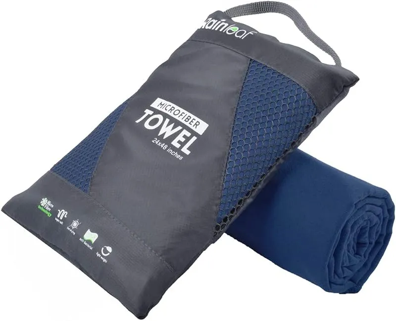
Rainleaf Microfiber Towel
Buy two — a large for drying off and a small for gear — and you still spend less than one cotton beach towel.
Check price on
ThinkSport Sport Mineral Sunscreen
The best blend of reef-safety, protection, and wearability — start here.
Check price onDisclosure: Gear links may earn a commission as an Amazon Associate — at no extra cost to you. Learn more.
What to pack for Bemis Area
Gear we compare side by side for waterfall swims like this one — water access, sun, and the hike in.


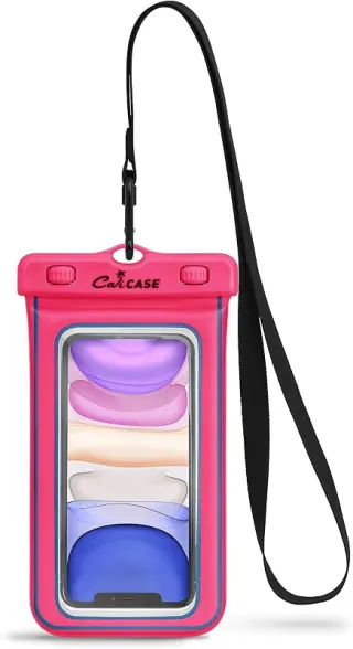
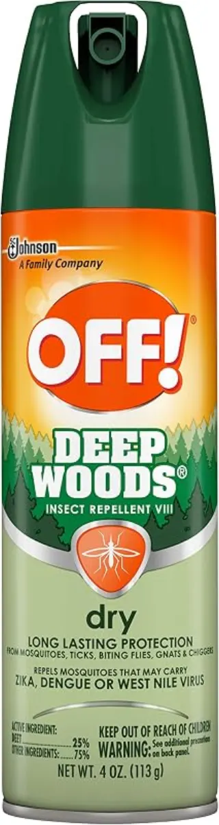
Disclosure: Gear links may earn a commission as an Amazon Associate — at no extra cost to you. Learn more.
Frequently asked questions
Can you swim at Bemis West Virginia?
Yes. The Bemis / Shavers Fork area near Elkins has waterfall and river pools used for swimming. Free wild access — no lifeguards.
Is Bemis swimming free?
Yes. Informal forest and river access is typically free. Pack out trash and respect private land.
How do you get to Bemis WV swimming holes?
Southeast of Elkins toward Glady / Bemis along Shavers Fork corridor roads. Download maps offline — cell service is limited.
When is the best time to swim near Bemis?
Late spring through early fall. After storms, wait for Shavers Fork to drop before swimming.
Explore more nearby swimming guides
Regional guide
This spot is featured in our Shavers Fork & Bemis area swimming roundup with related swimming holes in West Virginia.
Nearby swimming holes
Culture & history
Bemis Area reflects West Virginia's logging and railroad heritage, offering a glimpse into the region's industrial past and its transformation into a natural haven.
Conservation
Follow Leave No Trace principles. pack out trash, respect wildlife, and minimize impact on fragile ecosystems.
Sources & updates
Official land managers cited on this page
Always confirm current rules, closures, and fees on the agency site before visiting.
Spotted outdated access, fees, or safety info? Send a correction with the page URL — we review every submission.