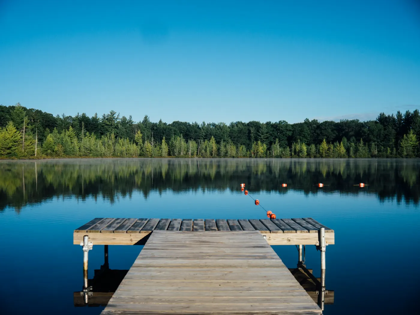
Chico Region Swimming Holes
Swimming hole in Sacramento, California · Other
Chico Region Swimming Holes is a natural swimming hole. It is near Sacramento, California. Fee varies. Best season: Summer months (June-August) for warm water and sunny skies.
Typical season: Summer months (June-August) for warm water and sunny skies
About Chico Region Swimming Holes
Near Sacramento in California, Chico Region Swimming Holes offers a straightforward outdoor swim on Varies-See Below.
Northern California's Chico region is one of the state's best-kept secrets for natural swimming. The geography shifts dramatically across the region. At Lower Bidwell Park, wide grassy banks line Chico Creek, and the . A place where locals have been cooling off on triple-digit afternoons for generations. Move upstream into Upper Bidwell Park and the canyon tightens, the oaks lean in, and the pools deepen. Farther out, Butte Creek winds through agricultural land and forested canyons, with family-friendly access and a gentler current that suits younger swimmers. The star of the backcountry is Salmon Hole, where dramatic cliffs rise above a deep . The kind of place that makes you feel like you've found something the rest of the world hasn't.
Rock Creek surprises visitors with a natural water slide worn smooth by centuries of flow, and Brown's Hole offers the rare gift of genuine solitude, Set within a quiet canyon where you may have the water entirely to yourself. The deeper holes. Particularly at Salmon Hole and Brown's Hole. Are the kind of cold that steals your breath on entry and feels like pure relief ten seconds later. The natural water slide at Rock Creek is a genuine highlight: a sloping granite chute that deposits you into a churning pool below, equal parts thrilling and ridiculous. Butte Creek's shallows are warm enough for younger kids by midsummer, with sandy pockets and calm eddies a strong choice for floating. Keep in mind that access difficulty varies considerably. Lower Bidwell Park is a short walk from a parking area, while reaching Feather Falls' . Spring visits reward those willing to brave slightly cooler water with wildflowers in bloom and higher flows.
Treat Chico Region Swimming Holes as a wild swim: no lifeguard, variable depth, and rules that can change by season.
Key facts
Structured details for trip planning — verify access and fees with the land manager before you visit.
- Water type
- Varies-see below
- Water body
- Varies-see below
- Fee
- Fee varies
- Nearest town
- Sacramento
- State
- California
- Best season
- Summer months (June-August) for warm water and sunny skies; Spring (April-May) for blooming wildflowers and higher water levels; Fall (September-October) for cooler temperatures and vibrant foliage.
- Access difficulty
- Varies: Easy access at Lower Bidwell Park and Butte Creek; Moderate hiking required for Upper Bidwell Park; Strenuous 8-mile hike to Feather Falls .
- Parking
- Designated area
- Restrooms
- Yes
- Lifeguard
- Present (seasonal)
- Cliff jumping
- Reported
- Camping
- There are several campgrounds, some east of Oroville and others near Storrie in the N.F.
- Land manager
- U.S. Forest Service
- Activities
- Swimming
- Facilities
- Facilities range from lifeguards and parking areas at Lower Bidwell Park to primitive setups at Upper Bidwell Park and Feather Falls. Plan ahead for water, snacks, and restrooms.
- Last verified
- May 12, 2026
The experience
- Best time to visit Summer months (June-August) for warm water and sunny skies; Spring (April-May) for blooming wildflowers and higher water levels; Fall (September-October) for cooler temperatures and vibrant foliage.
- Access Varies: Easy access at Lower Bidwell Park and Butte Creek; Moderate hiking required for Upper Bidwell Park; Strenuous 8-mile hike to Feather Falls .
- Facilities Facilities range from lifeguards and parking areas at Lower Bidwell Park to primitive setups at Upper Bidwell Park and Feather Falls. Plan ahead for water, snacks, and restrooms.
- Camping nearby There are several campgrounds, some east of Oroville and others near Storrie in the N.F.
Highlights & features
- Family-friendly spots at Butte Creek
- Dramatic cliffs at Salmon Hole
- Natural water slide at Rock Creek
- Observation deck at Feather Falls
- Secluded pools at Brown’s Hole
- Honey Run Covered Bridge
- Natural water slide at Rock Creek
- Panoramic views from Feather Falls
How to get there
Chico Region Swimming Holes lies in California near Sacramento, Oreville, and Chico. Use these driving notes as a starting point and confirm road conditions before you go. Bring water, sunscreen, and gear for a primitive swim day. Weekends and holidays can draw more visitors. Check local updates on access and water levels before you leave home.
-
Chico Region State: California Nearby Towns
Sacramento, Oroville, Chico Bidwell Park (Lower and Upper) From Sacramento to Chico:
-
Take Interstate 5 (I-5) north for about 150 miles to Orland.
-
Exit onto Route 32 east and continue to Chico. Lower Bidwell Park
-
Lower Bidwell Park lies in downtown Chico and can be accessed via Vallombrosa Avenue. Popular : The Bank
-
Located near Manzanita Avenue, this spot occasionally features a rope swing. One Mile
-
A family-friendly area that may have lifeguards on duty. The Wall: Another . Upper Bidwell Park
-
To reach Upper Bidwell Park, take Wildwood Road north out of Chico and follow signs to the park. Popular : Bear Hole
-
A scenic . Exercise caution, as water currents can be fast-moving. Salmon Hole
-
Avoid jumping from cliffs here due to safety risks. Fast-moving water is also a hazard. Brown’s Hole
-
Known for its remote location and fewer crowds, making it a quieter option. Safety Note
Be cautious of fast-moving currents in Upper Bidwell Park . Avoid jumping from cliffs and always assess water conditions before swimming. Butte Creek From Chico:
-
Take Skyway Road east out of town.
Turn left onto Honey Run Road and continue to the parking area near the Honey Run Covered Bridge (parking fees may apply). Alternatively, park completely off the road to avoid tickets. : The .
-
For more secluded spots, continue further up Honey Run Road. Some areas may be clothing-optional. Important Note
Much of the land along Butte Creek is private property. Respect "No Trespassing" signs and stay within designated public areas. Coordinates: Latitude: 39.72900 Longitude: -121.70528 Google Maps Link Feather River From Oroville:
-
Take Route 70 northeast into Plumas National Forest.
Look for areas along the North Fork of the Feather River where people are enjoying the water. : Access . Coordinates: Latitude: 39.8576 Longitude: -121.3904 Google Maps Link Feather Falls From Oroville:
-
Take Route 162 east (Olive Highway) for 6.7 miles.
Turn right onto Forbestown Road and continue for 6.3 miles. Turn left onto Lumpkin Road and drive for 11.4 miles to the signed turnoff for Feather Falls.
-
Turn left at the sign and drive 1.5 miles to the trailhead parking area. Trail Details
Feather Falls is an 8-mile round-trip hike to a 640-foot waterfall with an observation deck offering stunning views. Follow the trail until it forks; take the right fork uphill for about 0.25 miles to reach the Fall River, which feeds Feather Falls. Several . Coordinates: Latitude: 39.64306 Longitude: -121.27333 Google Maps Link Grizzly Creek From Oroville:
-
Take Route 70 northeast along the Feather River.
Drive about 1 mile past the Arch Rock Campground to where Grizzly Creek joins the Feather River. Park on the right-hand side. Trail Details: Walk upstream along the right side of Grizzly Creek, passing through tunnels
Plan your visit
Chico Region Swimming Holes works well as a day trip from Sacramento or Oreville. Stock up in town, then head to the water with food, water, and sun protection. Combine the swim with camping at Kern River Swimming Destinations or browse more California other spots in our directory. For the full list in California, see our state directory.
Access & fees
Access and fees vary by location. Some areas in Bidwell Park may have parking fees or restrictions. Butte Creek access requires caution due to private property; only use designated public areas and respect all signage. Feather River and Feather Falls locations are within Plumas National Forest; standard forest use rules apply. Facilities are generally not available.
Top picks for this trip
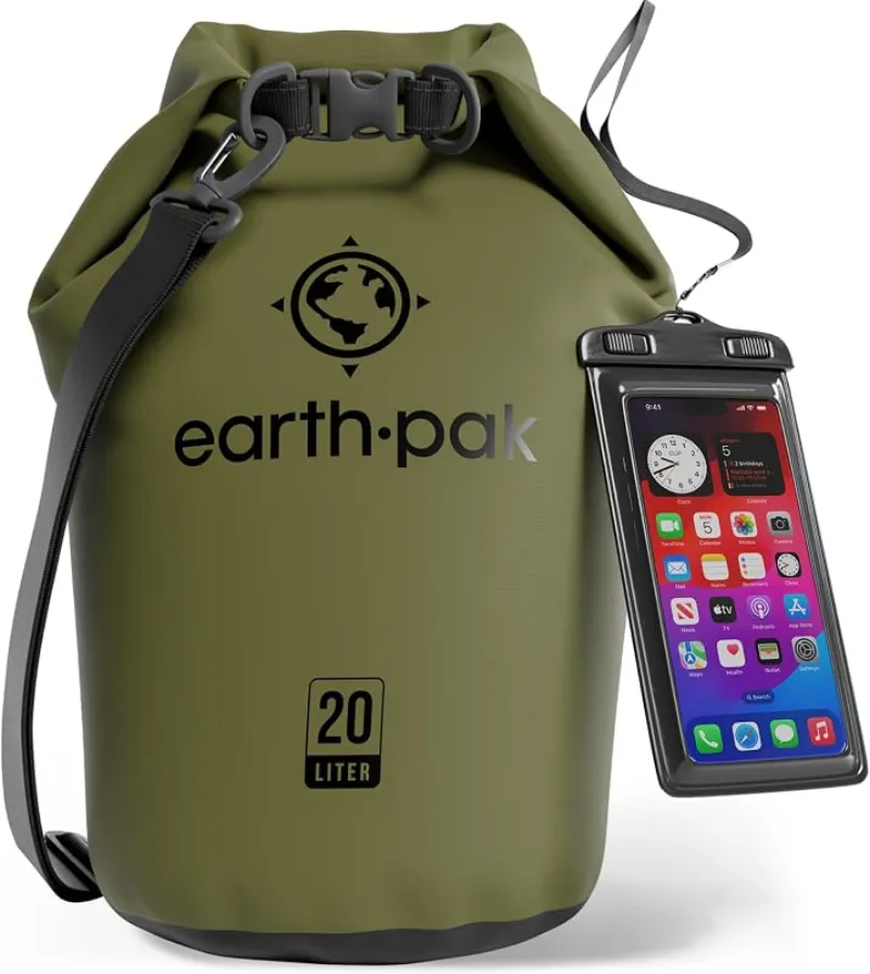
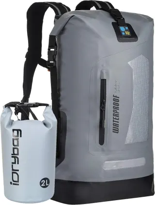
Earth Pak Waterproof Dry Bag
For most swimmers, the Earth Pak is the easy default — tough, affordable, and it comes with the phone case you were going to buy anyway.
Check price on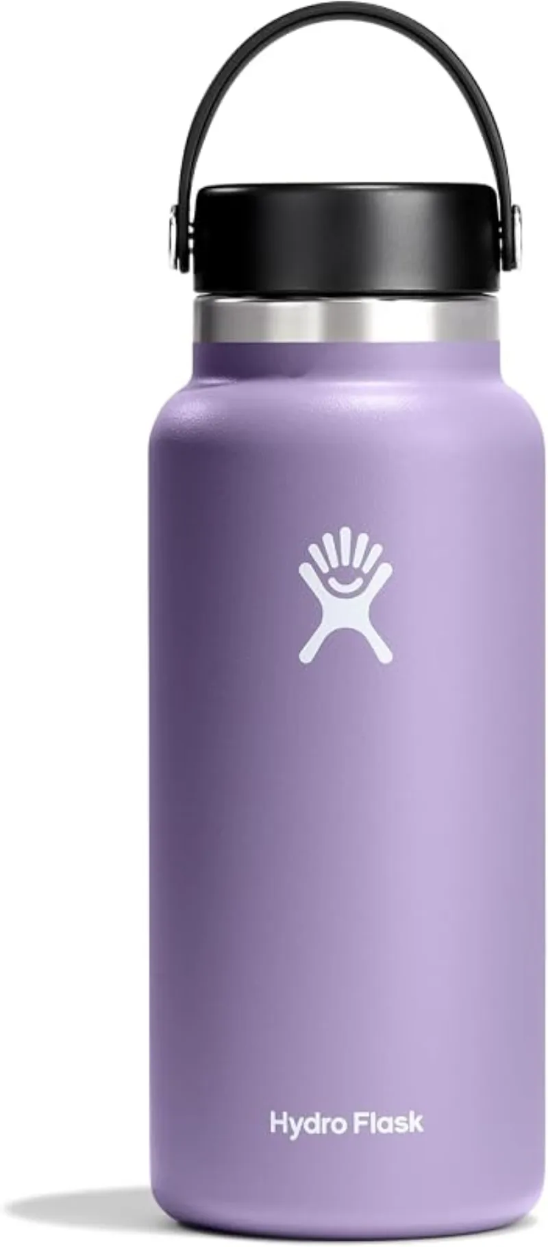
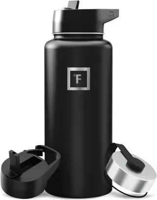
Hydro Flask Wide Mouth Bottle
A do-everything bottle that holds ice through a full hot day at the water.
Check price onDisclosure: Gear links may earn a commission as an Amazon Associate — at no extra cost to you. Learn more.
What to pack for Chico Region Swimming Holes
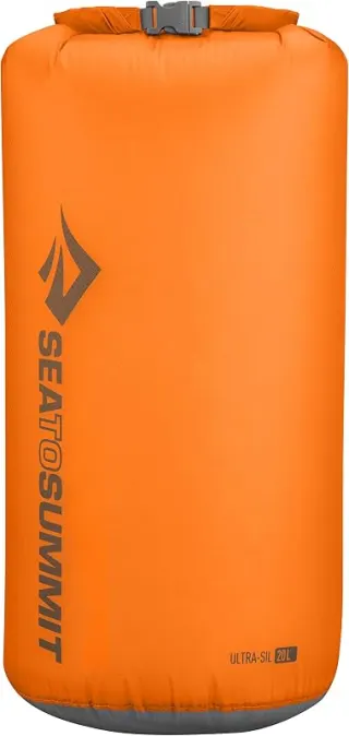
Gear we compare side by side for other swims like this one — water access, sun, and the hike in.

Disclosure: Gear links may earn a commission as an Amazon Associate — at no extra cost to you. Learn more.
Frequently asked questions
Can you swim at Chico Region Swimming Holes?
Yes. Chico Region Swimming Holes near Sacramento, Oreville, and Chico in CA is a varies-see below swimming spot on Varies-see below. Scout depth and current before entering — no lifeguards at most natural access points.
How much does Chico Region Swimming Holes cost?
Plan for fees: Varies-see below. Rates and policies change — verify with the land manager before you drive.
How do you get to Chico Region Swimming Holes?
Chico Region Swimming Holes is in CA within day-trip range of Sacramento, Oreville, and Chico. Use a current map for the put-in or park entrance; cell service can be limited at remote spots.
Explore more nearby swimming guides
Nearby swimming holes
Culture & history
Bidwell Park is a historic landmark named after John Bidwell, Chico’s founder. Honey Run Covered Bridge holds cultural significance as one of the last three-way covered bridges in the U.S.
Conservation
Follow Leave No Trace principles. Respect private property signs along Butte Creek. Avoid littering and preserve natural habitats.
Sources & updates
Official land managers cited on this page
Always confirm current rules, closures, and fees on the agency site before visiting.
Spotted outdated access, fees, or safety info? Send a correction with the page URL — we review every submission.