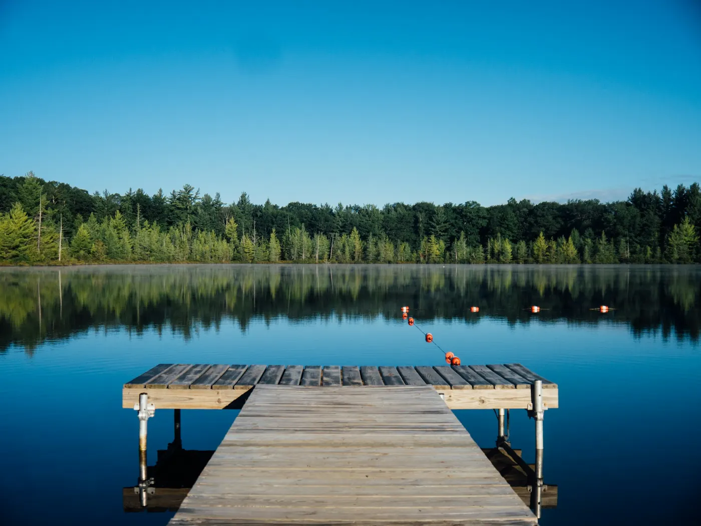
Guntersville Region Swimming Spots
Swimming hole in Fort Payne, Alabama · Other
Guntersville Region Swimming Spots is a natural swimming hole. It is near Fort Payne, Alabama. Fee varies. Best season: Late spring through early fall (May to September) to enjoy warm temperatures, optimal water levels, and vibrant greenery.
Typical season: Late spring through early fall (May to September) to enjoy warm temperatures, optimal water levels, and vibrant greenery
About Guntersville Region Swimming Spots
Guntersville Region Swimming Spots sits in Alabama along Varies - See Below. Swimmers come for a natural day on the water without resort amenities.
These are places discovered by word of mouth, loved by locals, and defined by the landscape itself rather than any park infrastructure. Come prepared, come curious, and come ready to get wet.
The crown jewel of the two sites is High Falls, where water has spent millennia carving sandstone into sweeping curtains, ledges, and. Most remarkably. A naturally formed stone bridge that arcs over the creek like something from a storybook. When you arrive, the sound of falling water reaches you before the view does, a steady rush that builds as you pick your way through the trees and down toward the creek. The falls themselves tumble into a deep . Surrounding forest fills the air with birdsong and the smell of damp earth, and in summer the canopy overhead glows an almost electric green. The second site, Old Red Mill, carries a quieter, more contemplative energy. The remnants of an old Alabama mill anchor the scene in history, and the creek here moves with a gentler rhythm, pooling into calm, clear stretches that feel made for slow summer afternoons.
No lifeguards patrol Guntersville Region Swimming Spots. Facilities are limited, so judge depth, current, and weather when you arrive.
Key facts
Structured details for trip planning — verify access and fees with the land manager before you visit.
- Water type
- Varies - see below
- Water body
- Varies - see below
- Fee
- Fee varies
- Nearest town
- Fort Payne
- State
- Alabama
- Best season
- Late spring through early fall (May to September) to enjoy warm temperatures, optimal water levels, and vibrant greenery.
- Access difficulty
- Moderate; requires careful navigation of slippery rocks at High Falls and attentiveness to water flow at Old Red Mill.
- Parking
- Designated area
- Lifeguard
- Present (seasonal)
- Cliff jumping
- Reported
- Camping
- No camping at sites
- Activities
- Swimming, Jumping
- Facilities
- No camping facilities available; amenities are limited, so plan accordingly with food, water, and safety gear.
- Last verified
- May 12, 2026
The experience
- Best time to visit Late spring through early fall (May to September) to enjoy warm temperatures, optimal water levels, and vibrant greenery.
- Access Moderate; requires careful navigation of slippery rocks at High Falls and attentiveness to water flow at Old Red Mill.
- Facilities No camping facilities available; amenities are limited, so plan accordingly with food, water, and safety gear.
- Camping nearby No camping at sites
Highlights & features
- Majestic High Falls with cliff jumping opportunities
- Naturally formed stone bridge for daring jumps
- Tranquil swimming at Old Red Mill
- Historical charm of Alabama’s old mill sites
- Lush surroundings and wildlife
- Naturally carved stone bridge at High Falls
- Historical old mill site at Old Red Mill
- Varied cliff jumping heights from 5 to 42 feet
How to get there
Guntersville Region Swimming Spots lies in Alabama near Fort Payne, Guntersville, and Geraldine. Use these driving notes as a starting point and confirm road conditions before you go. Bring water, sunscreen, and gear for a primitive swim day. Weekends and holidays can draw more visitors. Check local updates on access and water levels before you leave home.
-
Guntersville Region State: Alabama Nearby Towns
-
Fort Payne, Guntersville, Geraldine, Albertville High Falls Park Description
High Falls Park features a stunning waterfall on Town Creek, a shallow wading area a strong choice for families, and opportunities for cliff jumping ranging from 5 to 42 feet. The area includes a naturally formed stone bridge and carved rock walkways. You should exercise caution, as the rocks can be slippery. Below the falls, the . Driving Directions:
-
From Birmingham, take I-59 North toward Fort Payne.
-
Exit at
-
Exit 205 and turn onto Route 68 West toward Crossville.
Continue on Route 68 West until you reach Crossville.
-
From Crossville, take Route 227 North through Geraldine. Follow signs for High Falls Park where Route 227 crosses Town Creek.
-
Parking and Final Approach
High Falls Park has a designated parking area near the entrance. From the parking lot, follow the marked trails to the falls and . Be cautious on the rock walkways, as they can be slippery, especially after rain. Coordinates: Latitude: 34.39073 Longitude: -86.01836 View on Google Maps Old Red Mill Description: Old Red Mill is a . This location is best visited during periods of low water flow, as high water levels can make . Driving Directions:
-
From Birmingham, take I-59 North toward Fort Payne.
-
Exit at
-
Exit 205 and turn onto Route 68 West toward Crossville.
Continue on Route 68 West for about 10 miles.
-
Turn onto County Road 414/Hustleville Road and drive for about 1.5 miles.
Turn right onto County Road 409/Martling Road and continue for about 1.2 miles. The Old Red Mill .
-
Parking and Final Approach
-
Parking is available along the roadside near the mill.
Walk carefully to the creek area, as the terrain may be uneven. Avoid . Coordinates: Latitude: 34.3264 Longitude: -86.1618 View on Google Maps
-
Helpful Tips
Both locations are natural . Pack water, snacks, and sunscreen, as amenities may be limited. Always exercise caution when cliff jumping or . Respect the natural environment and leave no trace. Have a safe visit to the Guntersville Region !
Plan your visit
Guntersville Region Swimming Spots works well as a day trip from Fort Payne or Guntersville. Stock up in town, then head to the water with food, water, and sun protection. Combine the swim with camping at Wetumpka River Swimming Destinations or browse more Alabama other spots in our directory. For the full list in Alabama, see our state directory.
Access & fees
Both locations are unofficial natural areas. Fees and on-site facilities are not confirmed. Parking is roadside at Old Red Mill and in a designated lot at High Falls Park. Terrain is uneven and rocky; appropriate footwear is required. Always check current water conditions before visiting.
Top picks for this trip
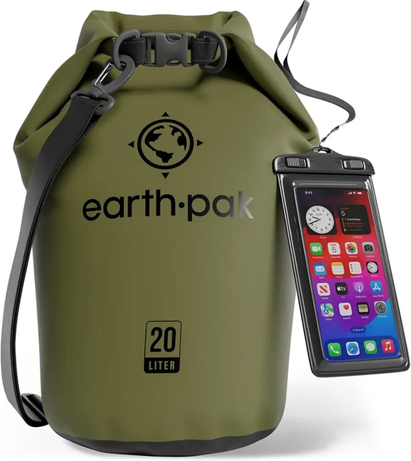
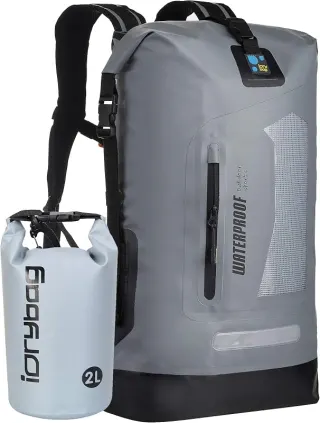
Earth Pak Waterproof Dry Bag
For most swimmers, the Earth Pak is the easy default — tough, affordable, and it comes with the phone case you were going to buy anyway.
Check price on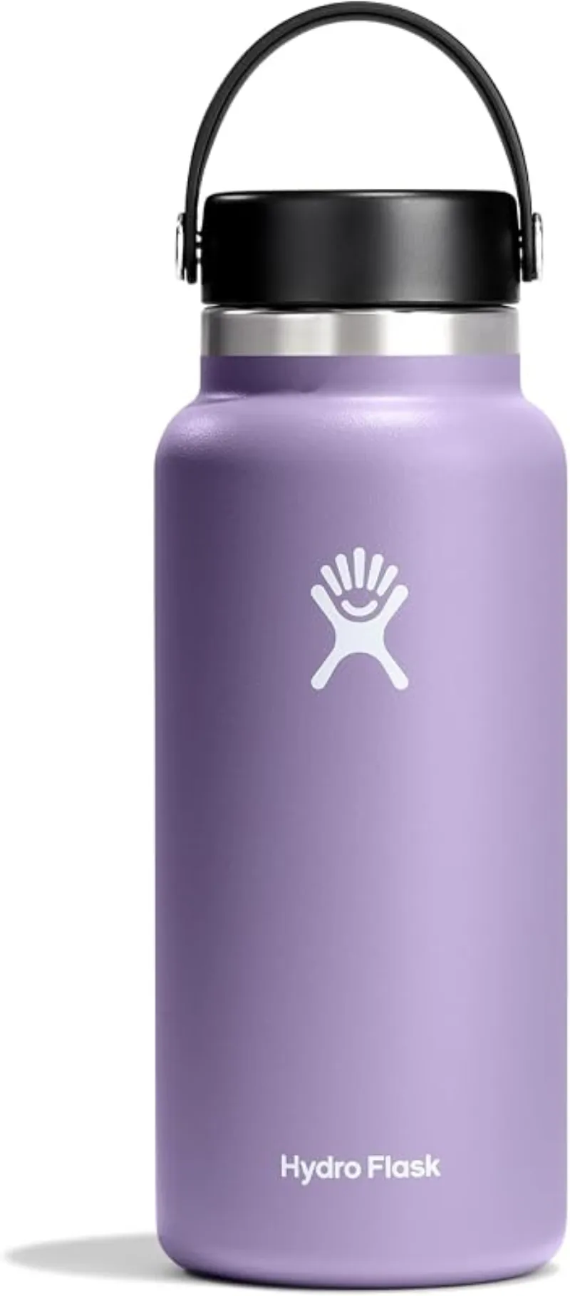
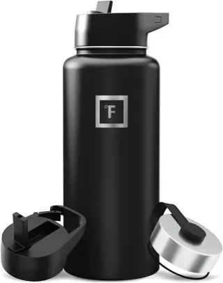
Hydro Flask Wide Mouth Bottle
A do-everything bottle that holds ice through a full hot day at the water.
Check price onDisclosure: Gear links may earn a commission as an Amazon Associate — at no extra cost to you. Learn more.
What to pack for Guntersville Region Swimming Spots
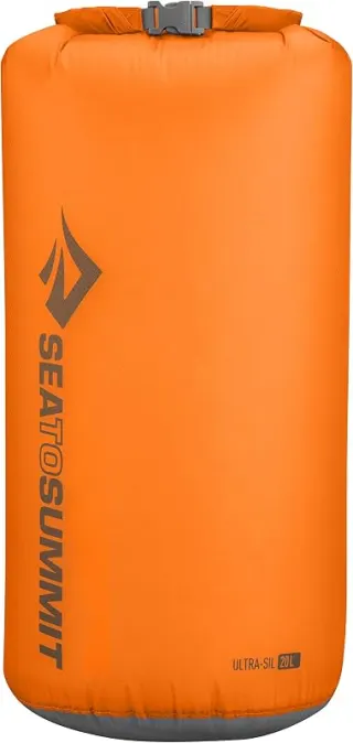
Gear we compare side by side for other swims like this one — water access, sun, and the hike in.

Disclosure: Gear links may earn a commission as an Amazon Associate — at no extra cost to you. Learn more.
Frequently asked questions
Can you swim at Guntersville Region Swimming Spots?
Yes. Guntersville Region Swimming Spots near Fort Payne, Guntersville, and Geraldine in AL is a varies - see below swimming spot on Varies - see below. Scout depth and current before entering — no lifeguards at most natural access points.
How much does Guntersville Region Swimming Spots cost?
Plan for fees: Unknown. Rates and policies change — verify with the land manager before you drive.
How do you get to Guntersville Region Swimming Spots?
Guntersville Region Swimming Spots is in AL within day-trip range of Fort Payne, Guntersville, and Geraldine. Use a current map for the put-in or park entrance; cell service can be limited at remote spots.
Explore more nearby swimming guides
Nearby swimming holes
Culture & history
High Falls Park showcases Alabama’s geological history, while Old Red Mill offers a glimpse into the region’s industrial past.
Conservation
Follow Leave No Trace principles to protect the ecosystem. Avoid littering and respect wildlife habitats.
Sources & updates
Spotted outdated access, fees, or safety info? Send a correction with the page URL — we review every submission.