Wharton State Forest Mullica River Swimming Spots
Swimming hole in Atlantic City, New Jersey · River
Wharton State Forest Mullica River Swimming Spots is a river swimming hole. It is near Atlantic City, New Jersey. Fee varies. Best season: Late spring through early fall (May to September) offers warm weather and ideal water conditions.
Typical season: Late spring through early fall (May to September) offers warm weather and ideal water conditions
About Wharton State Forest Mullica River Swimming Spots
Near Atlantic City in New Jersey, Wharton State Forest Mullica River Swimming Spots offers a straightforward outdoor swim.
Deep in the heart of the New Jersey Pinelands, the Mullica River threads quietly through Wharton State Forest like a secret the locals have kept for generations. The river's waters run slow and dark. Stained the color of iced tea by tannins from the surrounding cedar and oak forests. And they carry the ancient, resinous scent of the Pine Barrens with them.
Wharton State Forest spans more than 120,000 acres, making it the largest single tract of land in the New Jersey State Park System. The Mullica River winds through this vast, otherworldly landscape of pitch pine, blueberry thickets, and sandy-bottomed streams. The tree canopy filters the summer sunlight into soft, amber patches on the water's surface, and the forest around you hums with the sound of birds, insects, and the occasional distant splash of a paddler rounding a bend. The shoreline is mostly sandy and gentle, with the river moving at a pace that feels almost meditative.
No lifeguards patrol Wharton State Forest Mullica River Swimming Spots. Facilities are limited, so judge depth, current, and weather when you arrive.
Key facts
Structured details for trip planning — verify access and fees with the land manager before you visit.
- Water type
- River
- Water body
- Mullica River
- Fee
- Fee varies
- Nearest town
- Atlantic City
- State
- New Jersey
- Coordinates
- 39.70289, -74.75014
- Best season
- Late spring through early fall (May to September) offers warm weather and ideal water conditions. Autumn (October to November) is perfect for enjoying colorful foliage and cooler temperatures.
- Access difficulty
- Easy to moderate. Atsion Family Campground offers well-maintained facilities, while Mullica River Wilderness Campground requires a 15-minute walk and is a strong choice for experienced adventurers.
- Parking
- Designated area
- Restrooms
- Yes
- Lifeguard
- Present (seasonal)
- Camping
- Wharton State Forest ( HQ is at Batsto), has about 6-7 different car- camping areas, 3 are marked on the local area map and the others are within 4-5 miles along the Wading River a bit east of here. Wharton State Forest campgrounds shown on the local area map are: Atsion Family Campground: on the map where Mullica crosses Rte 206, hot showers, flush toilets, tables; Goshen Pond: 1 mile or so west of Atsion Family, primitive, pit toilets; Buttonwood Hill Camp: Off Rte 542, East of Batsto. Mullica River Wilderness Campground: Is the only one that is off-limits to vehicles. There are signs and parking areas about 15 minutes walk north and south of the campground. It is a traffic violation if you are caught driving in this campground. It is considered a walk-in, canoe-in or ski-in area. There are pit toilets there and a pump for fresh potable water, no tables. Private campgrounds shown on the local area map are: Paradise Lake: On shuttle route map off 206, store Forks Landing Marina: Near Sweetwater; Bell Haven Lake.
- Land manager
- State park / recreation agency
- Activities
- Tubing, Canoeing
- Facilities
- Atsion Family Campground offers flush toilets and showers; Goshen Pond and Buttonwood Hill Camps provide primitive facilities; Mullica River Wilderness Campground is a walk-in site with potable water and pit toilets.
- Last verified
- May 12, 2026
The experience
- Best time to visit Late spring through early fall (May to September) offers warm weather and ideal water conditions. Autumn (October to November) is perfect for enjoying colorful foliage and cooler temperatures.
- Access Easy to moderate. Atsion Family Campground offers well-maintained facilities, while Mullica River Wilderness Campground requires a 15-minute walk and is a strong choice for experienced adventurers.
- Facilities Atsion Family Campground offers flush toilets and showers; Goshen Pond and Buttonwood Hill Camps provide primitive facilities; Mullica River Wilderness Campground is a walk-in site with potable water and pit toilets.
- Camping nearby Wharton State Forest ( HQ is at Batsto), has about 6-7 different car- camping areas, 3 are marked on the local area map and the others are within 4-5 miles along the Wading River a bit east of here. Wharton State Forest campgrounds shown on the local area map are: Atsion Family Campground: on the map where Mullica crosses Rte 206, hot showers, flush toilets, tables; Goshen Pond: 1 mile or so west of Atsion Family, primitive, pit toilets; Buttonwood Hill Camp: Off Rte 542, East of Batsto. Mullica River Wilderness Campground: Is the only one that is off-limits to vehicles. There are signs and parking areas about 15 minutes walk north and south of the campground. It is a traffic violation if you are caught driving in this campground. It is considered a walk-in, canoe-in or ski-in area. There are pit toilets there and a pump for fresh potable water, no tables. Private campgrounds shown on the local area map are: Paradise Lake: On shuttle route map off 206, store Forks Landing Marina: Near Sweetwater; Bell Haven Lake.
Highlights & features
- Scenic Mullica River swimming spots
- Tubing and canoeing opportunities
- Rich historical and cultural significance
- Diverse wildlife and plants
- Seasonal beauty and photography
- Accessible swimming holes across multiple towns
- Historical connection to early settlers and Native Americans
- Walk-in wilderness campground for a secluded experience
How to get there
Wharton State Forest Mullica River Swimming Spots lies in New Jersey near Atlantic City, Egg Harbor, and Batsto. Use these driving notes as a starting point and confirm road conditions before you go. Bring water, sunscreen, and gear for a primitive swim day. Weekends and holidays can draw more visitors. Check local updates on access and water levels before you leave home.
-
Overview
Wharton State Forest lies in southern New Jersey and offers several . The forest spans multiple towns, including Atlantic City, Egg Harbor, Batsto, and Atsion. Use these driving notes to reach the . From Atlantic City: Begin by heading west on US-30 (White Horse Pike) toward Egg Harbor City. Continue on US-30 for about 20 miles until you reach the intersection with County Road 542 (Batsto Village Road). Turn left onto County Road 542 and follow signs for Batsto Village. Continue on County Road 542 for about 8 miles, passing Batsto Village. Look for signs indicating Wharton State Forest parking areas near the Mullica River. Parking is available at designated lots along the road. From Egg Harbor City:
-
Start by heading northeast on US-30 (White Horse Pike).
Drive for about 8 miles until you reach County Road 542 (Batsto Village Road). Turn right onto County Road 542 and follow signs for Batsto Village. Continue for about 8 miles, passing Batsto Village. Look for Wharton State Forest parking areas near the Mullica River. Parking is available at designated lots along the road. From Batsto Village:
-
From Batsto Village, head east on County Road 542 (Batsto Village Road).
Drive for about 2 miles, following signs for Wharton State Forest. Look for parking areas near the Mullica River. These are clearly marked and provide easy access to the . From Atsion: Begin by heading south on US-206. Drive for about 7 miles until you reach County Road 542 (Batsto Village Road). Turn left onto County Road 542 and follow signs for Batsto Village. Continue for about 5 miles, passing Batsto Village.
-
Look for designated parking areas near the Mullica River. Helpful Details
-
Parking
Parking is available at multiple locations along County Road 542 near the Mullica River. Look for marked lots or roadside pull-offs. These areas are typically well-signed and provide direct access to trails leading to the . Trailheads: From the parking areas, follow the marked trails leading to the river. The trails are generally flat and easy to navigate. Be sure to wear appropriate footwear, as some paths may be sandy or uneven. Landmarks: Batsto Village is a key landmark along County Road 542. Use it as a reference point when navigating to the . Have a safe visit to Wharton State Forest and the Mullica River !
Plan your visit
Wharton State Forest Mullica River Swimming Spots works well as a day trip from Atlantic City or Egg Harbor. Stock up in town, then head to the water with food, water, and sun protection. Combine the swim with camping at Bulls Island S.P. or browse more New Jersey river spots in our directory. For the full list in New Jersey, see our state directory.
Access & fees
Access is to natural, unofficial river spots. Parking is at unmarked pull-offs or small forest lots along County Road 542. No on-site facilities, lifeguards, or fee information is available. Always follow Leave No Trace principles.
Top picks for this trip
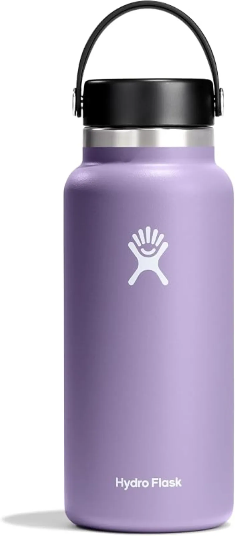
Hydro Flask Wide Mouth Bottle
A do-everything bottle that holds ice through a full hot day at the water.
Check price on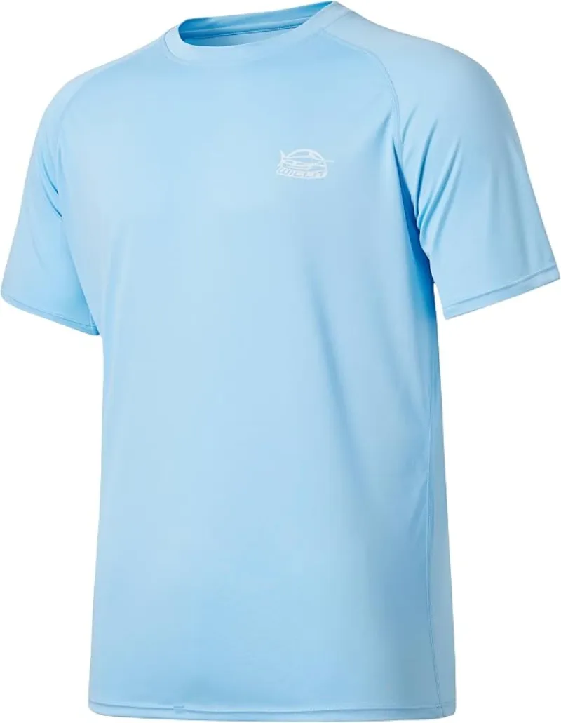
Willit Rashguard Swim Shirt UPF 50+
The best all-around sun shirt for swimming holes — light enough to swim in, dry enough to hike out in.
Check price onDisclosure: Gear links may earn a commission as an Amazon Associate — at no extra cost to you. Learn more.
What to pack for Wharton State Forest Mullica River Swimming Spots
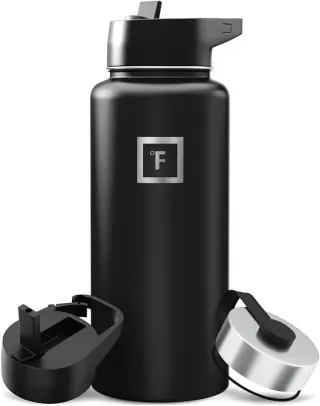
Gear we compare side by side for river swims like this one — water access, sun, and the hike in.

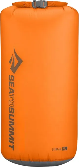
Disclosure: Gear links may earn a commission as an Amazon Associate — at no extra cost to you. Learn more.
Frequently asked questions
Can you swim at Wharton State Forest Mullica River Swimming Spots?
Yes. Wharton State Forest Mullica River Swimming Spots near Atlantic City, Egg Harbor, and Batsto in NJ is a river swimming spot on Mullica River. Scout depth and current before entering — no lifeguards at most natural access points.
How much does Wharton State Forest Mullica River Swimming Spots cost?
Plan for fees: Unknown. Rates and policies change — verify with the land manager before you drive.
How do you get to Wharton State Forest Mullica River Swimming Spots?
Wharton State Forest Mullica River Swimming Spots is in NJ within day-trip range of Atlantic City, Egg Harbor, and Batsto. Use a current map for the put-in or park entrance; cell service can be limited at remote spots.
Explore more nearby swimming guides
Regional guide
This spot is featured in our Mullica River & Wharton State Forest swimming roundup with related swimming holes in New Jersey.
Nearby swimming holes
Map & location
Culture & history
The Mullica River has roots in New Jersey’s colonial and Native American history, serving as a vital resource for transportation and sustenance.
Conservation
Follow Leave No Trace principles to protect the delicate ecosystem. Avoid littering, respect wildlife habitats, and stick to designated trails and swimming areas.
Sources & updates
Official land managers cited on this page
Always confirm current rules, closures, and fees on the agency site before visiting.
Spotted outdated access, fees, or safety info? Send a correction with the page URL — we review every submission.