Yuba River Swimming Holes And Recreation Area
Swimming hole in Sacramento, California · River
Yuba River Swimming Holes And Recreation Area is a river swimming hole. It is near Sacramento, California. Access is free. Best season: Spring for powerful waterfalls and cooler temperatures.
Typical season: Spring for powerful waterfalls and cooler temperatures
About Yuba River Swimming Holes And Recreation Area
Yuba River Swimming Holes And Recreation Area gives you river swimming access near Sacramento in California. Expect a natural bank, not a built beach.
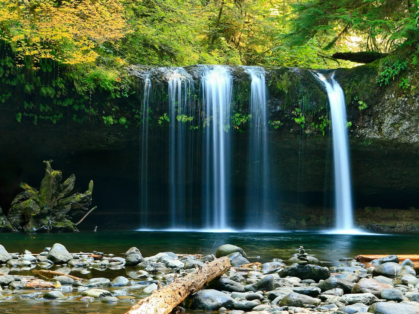
The river has been carving its way through ancient granite for millennia, and the result is a landscape that feels both wild and welcoming. Smooth stone slabs perfect for sunbathing, emerald pools that beg you to jump in, and the constant, hypnotic sound of moving water threading between boulders.
Whether you're driving up from Sacramento for a day trip or making a weekend of it from Nevada City, this stretch of river delivers. Edwards Crossing is the most accessible entry point, where a historic bridge frames views of the river as it tumbles and pools through a corridor of pine, oak, and manzanita. The terrain is unmistakably Sierra Nevada. Rugged granite outcroppings sculpted by centuries of seasonal flows, dotted with mosses and wildflowers in spring, baked golden under summer sun. Remnants of the Gold Rush era linger in the landscape, giving the area a layered sense of history that goes deeper than the river itself. Wildlife is abundant here: keep your eyes open for kingfishers darting low over the water, deer picking through the brush, and the occasional osprey circling overhead. A strong choice for young children or anyone easing into cooler mountain water. To deeper, crystal-clear basins where you can float weightless over smooth granite bottoms and watch the light refract into shifting patterns below. Summer brings the most forgiving conditions, when snowmelt has slowed and the water temperature rises to a genuinely refreshing cool rather than a bracing shock. Spring visits mean powerful currents and dramatic waterfalls, spectacular to witness but best left to experienced swimmers.
Swim at your own risk at Yuba River Swimming Holes And Recreation Area. Check conditions after rain and respect any posted closures.
Key facts
Structured details for trip planning — verify access and fees with the land manager before you visit.
- Water type
- River
- Water body
- South Yuba River
- Fee
- Free
- Nearest town
- Sacramento
- State
- California
- Best season
- Spring for powerful waterfalls and cooler temperatures; summer for calm, warm waters and prime .
- Access difficulty
- Moderate. While Edwards Crossing is accessible by car, narrow roads and steep terrain require cautious driving. Some .
- Parking
- See facilities notes
- Restrooms
- Yes
- Lifeguard
- Present (seasonal)
- Camping
- Nearby - see below
- Activities
- Swimming
- Facilities
- Edwards Crossing includes parking and bathrooms located on the south side of the bridge. Other .
- Last verified
- May 12, 2026
The experience
- Best time to visit Spring for powerful waterfalls and cooler temperatures; summer for calm, warm waters and prime .
- Access Moderate. While Edwards Crossing is accessible by car, narrow roads and steep terrain require cautious driving. Some .
- Facilities Edwards Crossing includes parking and bathrooms located on the south side of the bridge. Other .
- Camping nearby Nearby - see below
Highlights & features
- Historic Edwards Crossing bridge
- Crystal-clear waters for swimming
- Dynamic seasonal landscapes
- Abundant wildlife and plant life
- Photography opportunities
- Historic mining-era remnants
- Granite boulders shaped by centuries of river flow
- Diverse swimming options from shallow pools to deep basins
How to get there
Yuba River Swimming Holes And Recreation Area lies in California near Sacramento, Yuba City, and Nevada City. Use these driving notes as a starting point and confirm road conditions before you go. Bring water, sunscreen, and gear for a primitive swim day. Weekends and holidays can draw more visitors. Check local updates on access and water levels before you leave home.
-
Starting Point: Sacramento, CA
Begin by taking Interstate 80 (I-80) northeast toward Auburn.
-
Take Exit 119 for Highway 49 (Rt 49) north toward Grass Valley.
Continue on Highway 49 as it overlaps briefly with Highway 20 (Rt 20). Follow signs for Highway 49/20 into Nevada City.
-
From Nevada City to Edwards Crossing
At the intersection where Highway 20 and Highway 49 split in Nevada City, take a sharp left onto Highway 49 (Nevada City Carriage Company will be on your right). Drive about 1/4 mile. Look for North Bloomfield Road, which is the second road on the right after Coyote Road (there is a fire station at the corner). Turn right onto North Bloomfield Road and follow it for about 1 mile until you reach a "T" intersection. At the "T," bear right to stay on North Bloomfield Road. Continue on North Bloomfield Road for about 8 miles until you reach the South Yuba Recreation Area and Edwards Crossing.
-
Important Notes for Edwards Crossing
The final mile of North Bloomfield Road is narrow and steep, so drive carefully and take it slow. The road is paved all the way to Edwards Crossing when approaching from the south side of the bridge. Avoid approaching from the north side, as the road is unpaved.
-
Parking lies on the south side of the bridge, where restrooms are also available. This area is very popular, especially during peak times, so arrive early to secure parking.
-
Helpful Tips
Edwards Crossing lies directly under the bridge. Early mornings are typically less crowded, but parking fills up quickly later in the day. Have a safe visit to the Yuba River !
Plan your visit
Yuba River Swimming Holes And Recreation Area works well as a day trip from Sacramento or Yuba City. Stock up in town, then head to the water with food, water, and sun protection. Combine the swim with camping at Auburn American River Swimming Spots or browse more California river spots in our directory. For the full list in California, see our state directory.
Access & fees
Access is via North Bloomfield Road. The final mile is narrow and steep; drive with caution. Parking is on the south side of the bridge and fills quickly, especially on weekends and holidays. Arriving early is strongly recommended. The road from the north side of the bridge is unpaved and not recommended for access.
Top picks for this trip
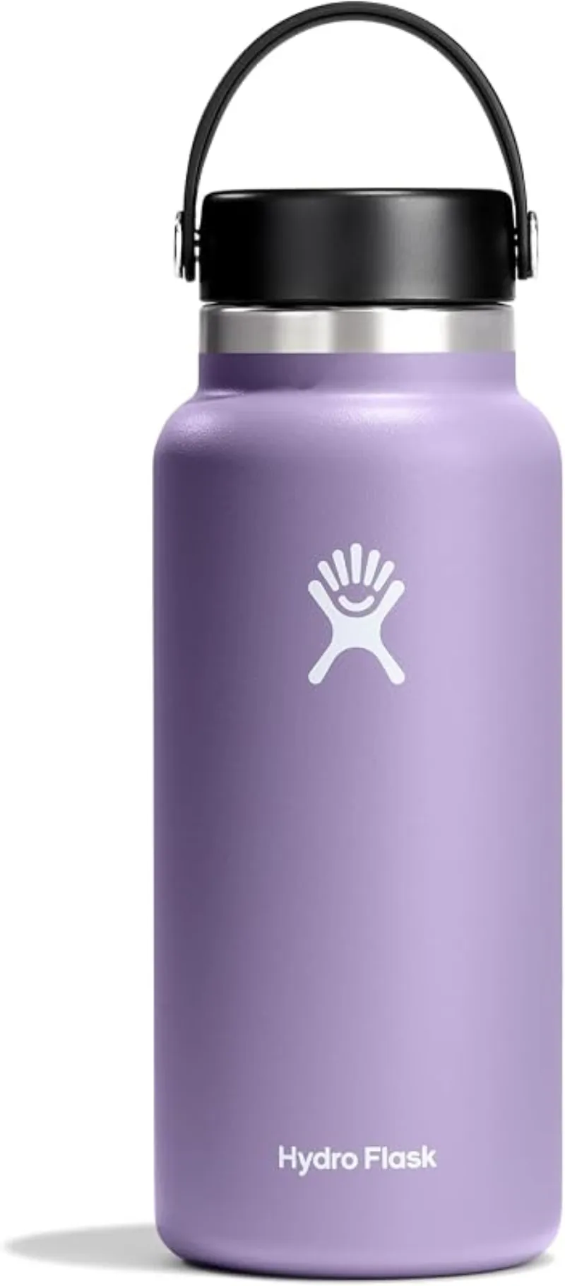
Hydro Flask Wide Mouth Bottle
A do-everything bottle that holds ice through a full hot day at the water.
Check price on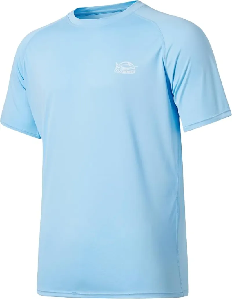
Willit Rashguard Swim Shirt UPF 50+
The best all-around sun shirt for swimming holes — light enough to swim in, dry enough to hike out in.
Check price onDisclosure: Gear links may earn a commission as an Amazon Associate — at no extra cost to you. Learn more.
What to pack for Yuba River Swimming Holes And Recreation Area
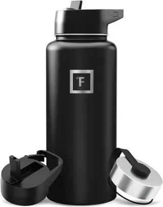
Gear we compare side by side for river swims like this one — water access, sun, and the hike in.

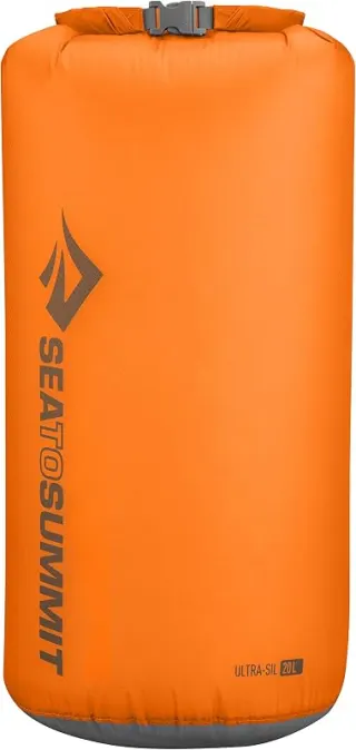
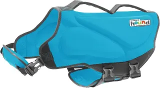
Disclosure: Gear links may earn a commission as an Amazon Associate — at no extra cost to you. Learn more.
Frequently asked questions
Can you swim at Yuba River Swimming Holes and Recreation Area?
Yes. Yuba River Swimming Holes and Recreation Area near Sacramento, Yuba City, and Nevada City in CA is a river swimming spot on South Yuba River. Scout depth and current before entering — no lifeguards at most natural access points.
Is Yuba River Swimming Holes and Recreation Area free?
Access is generally free (fee listed as “None”). Confirm any parking or day-use rules on site, and pack out trash.
How do you get to Yuba River Swimming Holes and Recreation Area?
Yuba River Swimming Holes and Recreation Area is in CA within day-trip range of Sacramento, Yuba City, and Nevada City. Use a current map for the put-in or park entrance; cell service can be limited at remote spots.
Explore more nearby swimming guides
Nearby swimming holes
Culture & history
The Yuba River was central to California's Gold Rush and continues to hold historical significance. Nevada City, nearby, offers rich insights into the area's past.
Conservation
Follow Leave No Trace principles. Protect the fragile ecosystem by minimizing waste, avoiding wildlife disturbance, and staying on designated trails.
Sources & updates
Spotted outdated access, fees, or safety info? Send a correction with the page URL — we review every submission.