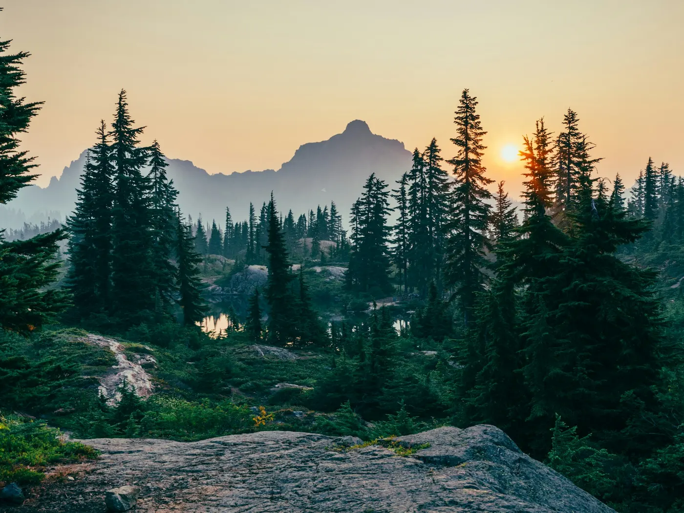
Creek TN
Chickamauga Creek
It's close enough to the city to feel like a spontaneous getaway, yet wild enough to make you feel genuinely removed from it all. The gorge itself does most of the storytelling here.
View details17 natural swim spots within about 100 miles of Chattanooga, Tennessee.
This page lists 17 natural swimming holes near Chattanooga, Tennessee, sorted by distance within about 100 miles.
Near Chattanooga, Tennessee, our directory maps 17 natural swimming holes within about 100 miles of the city center — including 5 rivers, 5 creeks, 6 waterfalls, and 1 other. The closest mapped spot is Chickamauga Creek (14 mi straight-line). Distances are not drive time; open each listing for directions, fee notes, access rules, and safety context before you travel.
| Central place | Chattanooga, Tennessee |
|---|---|
| Search radius | About 100 miles |
| Mapped spots | 17 |
| Closest listing | Chickamauga Creek (14 mi) |
| Water types | River (5), Creek (5), Waterfall (6), Other (1) |
| Typical fees | 10 free · 3 fee · 4 varies |
17 natural swim spots in Tennessee, sorted by distance from the city center. For live GPS sorting, use swimming holes near me.
It's close enough to the city to feel like a spontaneous getaway, yet wild enough to make you feel genuinely removed from it all. The gorge itself does most of the storytelling here.
View details The moment you step onto the trail, the forest closes in. A cathedral of hemlock, rhododendron, and hardwood that filters the light into something soft and green.
View details Savage Gulf swimming holes on Tennessee’s Cumberland Plateau include Fire Scald Creek pools near Greeter Falls and Blue Hole, day-trippable from Tracy City and Chattanooga. Clear creek water on South Cumberland trails — no lifeguards.
View details No ropes, no lifeguards, no entry booths. Just cold, clear water moving over smooth stone and the sound of the forest pressing in around you.
View details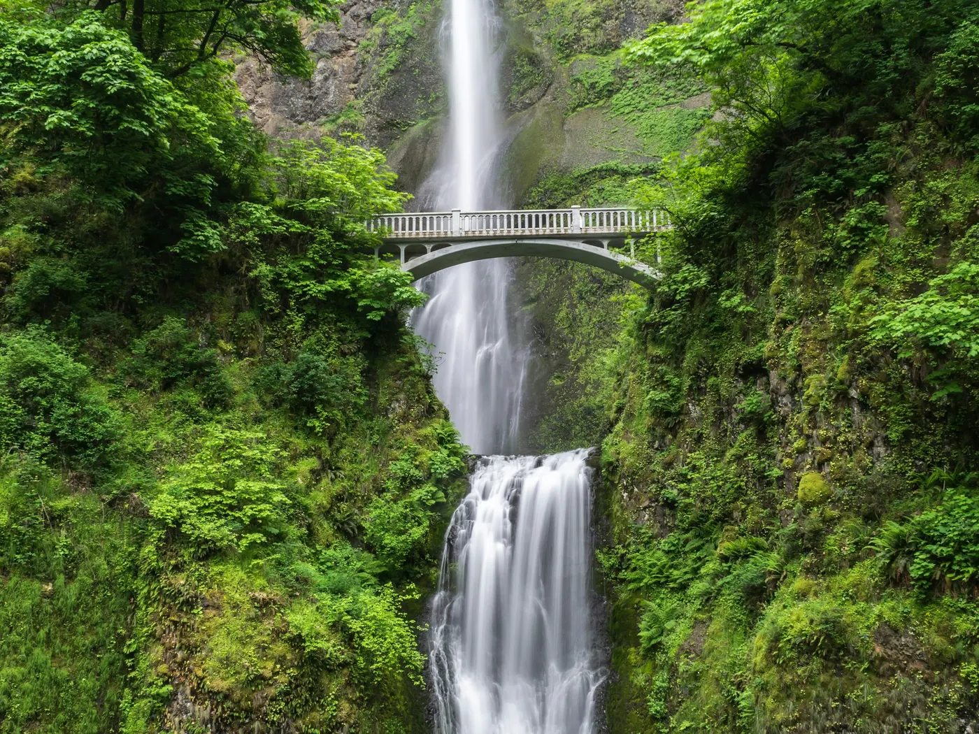
The park straddles the watersheds of Fall Creek and Cane Creek, and while the iconic main waterfall commands most of the attention, savvy visitors know that the real joy of .
View details
Swimmers come for a natural day on the water without resort amenities. Near Gee Creek Campground, the river unfolds in long, glittering stretches of crystal-clear water framed by forested ridges and moss-covered banks.
View details Walls Of Jericho sits in Tennessee along Turkey Creek. Swimmers come for a natural day on the water without resort amenities.
View details Blue Hole on the Ocoee River near Ocoee / Ducktown, Tennessee is a clear quarry-style swimming hole popular with Chattanooga day-trippers. Access and parking rules can change — confirm before you go; no lifeguards.
View details is a River swimming destination near Chattanooga in Tennessee. The setting stays informal and low-key.
View details Ozone Falls sits in Tennessee along Fall Creek. Swimmers come for a natural day on the water without resort amenities.
View details A 15-foot cascade tumbles down the Tellico River into a wide, deep pool so inviting that once you see it, the only question is how quickly you can get in.
View details Carmac Falls is a private waterfall swimming hole on the historic Evins Mill property near Smithville, Tennessee (Nashville / Cookeville day-trip range). Paid access and registration required — not a free public swim.
View details Goochie Ford is a shallow river-ford swimming hole near Readyville between Nashville and Murfreesboro, Tennessee. Free informal access for wading and cooling off — scout depth and current after rain.
View details This officially recognized access point opens up a beautiful stretch of the Middle Fork Stones River to swimmers, paddlers, and campers who want to linger a little longer than a day trip allows.
View details
Carved over millennia by the Obed River and its tributaries, the Obed Wild and Scenic River corridor in the Cumberland Plateau of Tennessee is one of the Southeast's most spectacular and underappreciated natural retreats.
View details Fed by the cold, clear waters of Blackburn Fork, this stunning 75-foot two-tiered waterfall plunges and cascades into one of the most celebrated .
View details Frozen Head State Natural Area Swimming Holes sits in Tennessee along Flat Fork Creek. Swimmers come for a natural day on the water without resort amenities.
View detailsBrowse by water type in Tennessee — each link opens the full state directory for that category.
A river swimming hole is a stretch of moving water deep enough to swim or wade — often a bend, pool, or slack-water pocket. Browse river spots below for access notes, fees, and seasonal flow tips.
Creek swimming holes are smaller stream and brook pools — usually cooler, shallower, and tucked into forests or hollows. Use the list below to find creek swims by state, then confirm water level after rain.
Waterfall swimming holes are plunge pools and cascades fed by falls. Flow is often seasonal; check depth, cold water, and slippery rock before you enter.
Mixed or unique water types that do not fit a single category — review each listing for access and conditions.
Highlights and safety notes from our listings — not third-party reviews. Report outdated info or share a tip.
Chattanooga is a practical launch point for day trips to natural swimming holes in Tennessee. Within about 100 miles you will find 17 mapped destinations in our directory, starting with Chickamauga Creek about 14 mi from the city center.
The mix spans river, creek, waterfall, other — related terms searchers use include creek swimming, river swimming holes, spring-fed pools, and wild swimming.
Every card on this page is a verified directory entry in Tennessee with map coordinates. We measure straight-line distance from the Chattanooga city center — not driving time. A creek swimming hole 12 miles away on forest roads can take longer than a river access point 20 miles away on a highway.
Wild swimming near Chattanooga includes informal river bends, spring-fed pools, waterfall plunge pools, and developed park swim areas. Rules, fees, and seasonal access differ by land manager. Never assume swimming is allowed without checking the listing and posted signs the day you visit.
Natural water near Chattanooga changes after rain, snowmelt, and summer heat. Cold shock, currents, submerged rocks, and bacteria are real risks at creek and river swimming holes — most sites have no lifeguard. Check weather and local advisories before you enter the water.
We publish original planning copy, safety tips, and last-updated dates on each listing. See our editorial policy for sourcing standards, or contact us if access or conditions have changed.
Near Chattanooga, Tennessee, our directory lists 17 natural swimming holes within about 100 miles — mainly 5 rivers, 5 creeks, 6 waterfalls, and 1 other. Each listing links to directions, fee notes, and safety context. Use near me on your phone for live distance sorting from your location.
This page shows 17 mapped natural swim spots within about 100 miles of Chattanooga. The full Tennessee directory may list additional holes farther out or awaiting coordinates. Counts update as we verify new listings.
The closest mapped spot to Chattanooga is Chickamauga Creek (14 mi straight-line). Open that listing for driving directions, access notes, and current fee information — unofficial holes can change without notice.
10 listings note free or no-fee access; 3 require a fee or park admission; 4 have variable or unverified fees. Open each spot page for current fee details.
Near Chattanooga, documented water types include rivers, creeks, waterfalls, other. A swimming hole is a natural outdoor pool in moving or spring-fed water — not a chlorinated pool. Filter by type on the Tennessee state page or open each card for water-body details.
Late spring through early fall is the usual swim season near Chattanooga, but snowmelt, drought, and weekend crowds change conditions week to week. Check each listing before you drive — high water after storms can make creeks and rivers unsafe.
Wild swimming near Chattanooga carries real risks: cold water, currents, rocks, and no lifeguards at most unofficial sites. Check weather, water level, and posted warnings the day you visit. Read our river safety guide and each listing's safety section before entering the water.
Listing data last updated across spots on this page.