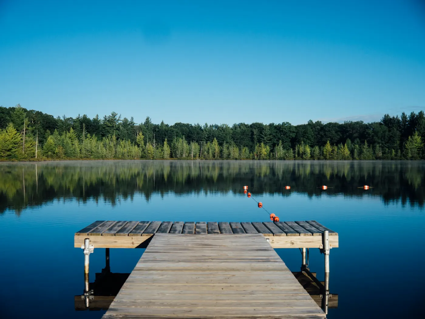
Huntington Region Swimming Holes
Swimming hole in Springfield, Massachusetts · Other
Huntington Region Swimming Holes is a natural swimming hole. It is near Springfield, Massachusetts. Fee varies. Best season: Late spring to early autumn offers the best conditions for swimming, with moderate water levels and lush surrounding greenery.
Typical season: Late spring to early autumn offers the best conditions for swimming, with moderate water levels and lush surrounding greenery
About Huntington Region Swimming Holes
Huntington Region Swimming Holes gives you varies-see below swimming access near Springfield in Massachusetts. Expect a natural bank, not a built beach.
The Westfield River and its tributaries carve through forested hillsides and ancient rock formations, creating a spectrum of spots that range from a welcoming family beach at a managed state park to wild, hidden gorge pools that reward the adventurous.
Whether you're spreading a picnic blanket on a sunny bank or scrambling down a rocky trail to a secluded pothole, this corner of the state delivers the kind of . The terrain here is quintessential western New England. Steep, wooded hillsides dotted with hemlock and hardwood, stream corridors thick with fern and moss, and boulders worn smooth by centuries of snowmelt and rain. At Gardner State Park, a roped-off . Elsewhere, the mood shifts dramatically. Knightville Dam opens into an isolated gorge where pools collect in the shadows of steep walls, and the quiet is the kind that makes you aware of your own breathing. Goldmine Brook Potholes offer a geological curiosity. Cylindrical depressions carved into bedrock by the patient work of water and stone, forming natural tubs that feel almost purpose-built for soaking. The Arches provides a stunning visual anchor: a stone bridge backdrop that frames the water and gives swimmers the rare sensation of . And at the Moltenbrey Market site, remnants of old mill operations add an atmospheric, almost haunted quality to a . The moving water of the Westfield River and its tributaries runs cold and refreshing through summer, fed by shaded hill streams that keep temperatures brisk even in July and August. The still lake at Gardner State Park warms more gently through the season, making it especially appealing for families with young swimmers.
Swim at your own risk at Huntington Region Swimming Holes. Check conditions after rain and respect any posted closures.
Key facts
Structured details for trip planning — verify access and fees with the land manager before you visit.
- Water type
- Varies-see below
- Water body
- Varies-see below
- Fee
- Fee varies
- Nearest town
- Springfield
- State
- Massachusetts
- Best season
- Late spring to early autumn offers the best conditions for swimming, with moderate water levels and lush surrounding greenery.
- Access difficulty
- Moderate to challenging depending on location; some spots require steep hiking or careful navigation along rocky trails.
- Parking
- Designated area
- Restrooms
- Yes
- Lifeguard
- Present (seasonal)
- Land manager
- U.S. Army Corps of Engineers
- Activities
- Swimming
- Facilities
- Gardner State Park offers picnic tables, toilets, and lifeguards. Other locations have limited or no facilities; plan accordingly.
- Last verified
- May 12, 2026
The experience
- Best time to visit Late spring to early autumn offers the best conditions for swimming, with moderate water levels and lush surrounding greenery.
- Access Moderate to challenging depending on location; some spots require steep hiking or careful navigation along rocky trails.
- Facilities Gardner State Park offers picnic tables, toilets, and lifeguards. Other locations have limited or no facilities; plan accordingly.
Highlights & features
- Historical Moltenbrey Market swimming spot
- Family-friendly Gardner State Park
- Exploratory Knightville Dam pools
- Secluded Goldmine Brook Potholes
- Architectural wonder at The Arches
- Moltenbrey Market’s historical mill debris
- Knightville Dam’s isolated gorge pools
- Goldmine Brook’s geological potholes
How to get there
Huntington Region Swimming Holes lies in Massachusetts near Springfield, Westfield, and Huntington. Use these driving notes as a starting point and confirm road conditions before you go. Bring water, sunscreen, and gear for a primitive swim day. Weekends and holidays can draw more visitors. Check local updates on access and water levels before you leave home.
-
Huntington Region State: Massachusetts Towns
-
Springfield, Westfield, Huntington, Chester Moltenbrey Market Description
A section of the West Branch of the Westfield River featuring small falls and deep spots. This is an unofficial . Exercise caution when swimming. Directions:
-
From Springfield, take Route 20 west through Westfield and Woronoco to Huntington.
In Huntington, turn right onto Route 112 and drive north for about 0.8 miles. Look for Moltenbrey’s Market on your left. Park in the unpaved lot across from the market.
-
Walk to the north end of the fence near the parking area and follow the path down to the river. Coordinates
-
Lat=42.24184, Lon=-72.87135 Google Maps Link Gardner State Park Description
-
A family-friendly . The park features a roped-off . Bathing suits are required. Directions
-
From Huntington, take Route 112 north and drive for 2.5 miles.
-
The entrance to C.M. Gardner State Park will be on your left. Coordinates
-
Lat=42.27083, Lon=-72.86636 Google Maps Link Knightville Dam Description
A series of pools in the Westfield River with sandy beaches and rock ledges. Located within an Army Corps of Engineers nature preserve, this area offers a mix of secluded and accessible . Bathing suit customs vary by location. Directions:
-
From Huntington, take Route 112 north, passing Gardner State Park.
-
Cross the river bridge and continue for 1 mile.
Look for a U.S. Army Corps of Engineers sign on the right.
-
Turn right
here onto a paved road. Follow the paved road, then turn right onto a dirt road.
-
Cross a small concrete bridge and continue until the road ends at a parking lot near the dam.
-
Alternate Directions (if the road is flooded)
-
From Huntington, continue north on Route 112 for an additional 5 miles.
-
Look for a second entrance on the left, marked by a dirt road. Coordinates
Lat=42.29011, Lon=-72.86144 Google Maps Link
-
Goldmine Brook Potholes Description
A cascading stream in Chester State Forest with several small potholes for soaking. This is a quiet, secluded area with no facilities. Bathing suits are optional. Directions:
-
From Huntington, take Route 20 west.
Continue for about 1 mile past the Huntington-Chester county line. Look for a dirt parking area just east of a bridge with a mile marker labeled 39.160. Carefully cross Route 20 at a point halfway between the power pole and the bridge. Look for a barely visible rock stairway about 50 feet east of the bridge. Climb the bank here, even if the trail is not obvious. Follow the trail upstream along the stream. Pass the falls on the right until you reach a rock wall overhanging a pool. Safety Note:
-
These potholes are located above a waterfall. Be cautious to avoid being swept over the falls. Coordinates
Lat=42.24776, Lon=-72.9245 Google Maps Link
-
The Arches (Keystone Arch Bridges) Description
-
A unique . The area features sandy beaches and a large . Directions
-
From Huntington, take Route 20 west toward Chester.
Plan your visit
Huntington Region Swimming Holes works well as a day trip from Springfield or Westfield. Stock up in town, then head to the water with food, water, and sun protection. Nearby options include Hot Springs Arkansas Swimming Destinations and Chico Region Swimming Holes. For the full list in Massachusetts, see our state directory.
Access & fees
Access, fees, facilities, and water conditions vary by location. Gardner State Park is an official day-use area with a fee, lifeguards, and facilities. Other listed spots are informal; some require careful navigation or have no amenities. Parking is often in unpaved lots. Check for posted rules and respect private property boundaries.
Top picks for this trip

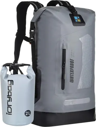
Earth Pak Waterproof Dry Bag
For most swimmers, the Earth Pak is the easy default — tough, affordable, and it comes with the phone case you were going to buy anyway.
Check price on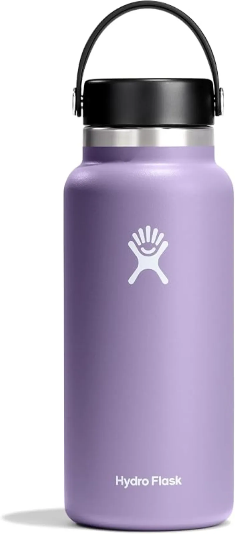
Hydro Flask Wide Mouth Bottle
A do-everything bottle that holds ice through a full hot day at the water.
Check price onDisclosure: Gear links may earn a commission as an Amazon Associate — at no extra cost to you. Learn more.
What to pack for Huntington Region Swimming Holes
Gear we compare side by side for other swims like this one — water access, sun, and the hike in.
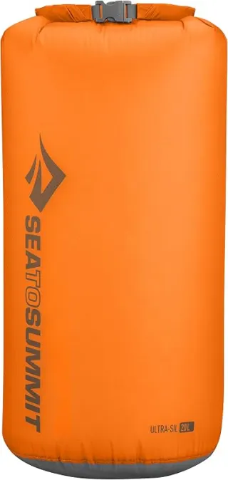
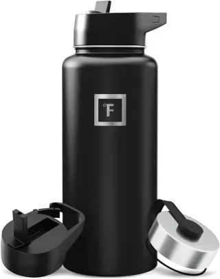

Disclosure: Gear links may earn a commission as an Amazon Associate — at no extra cost to you. Learn more.
Frequently asked questions
Can you swim at Huntington Region Swimming Holes?
Yes. Huntington Region Swimming Holes near Springfield, Westfield, and Huntington in MA is a varies-see below swimming spot on Varies-see below. Scout depth and current before entering — no lifeguards at most natural access points.
How much does Huntington Region Swimming Holes cost?
Plan for fees: Varies-see below. Rates and policies change — verify with the land manager before you drive.
How do you get to Huntington Region Swimming Holes?
Huntington Region Swimming Holes is in MA within day-trip range of Springfield, Westfield, and Huntington. Use a current map for the put-in or park entrance; cell service can be limited at remote spots.
Explore more nearby swimming guides
Nearby swimming holes
Culture & history
The area reflects the rich industrial history of western Massachusetts, with remnants of old mills and architectural landmarks like the Keystone Arch Bridges.
Conservation
Adhere to Leave No Trace principles to protect ecosystems and preserve natural beauty. Avoid littering and respect wildlife habitats.
Sources & updates
Official land managers cited on this page
Always confirm current rules, closures, and fees on the agency site before visiting.
Spotted outdated access, fees, or safety info? Send a correction with the page URL — we review every submission.