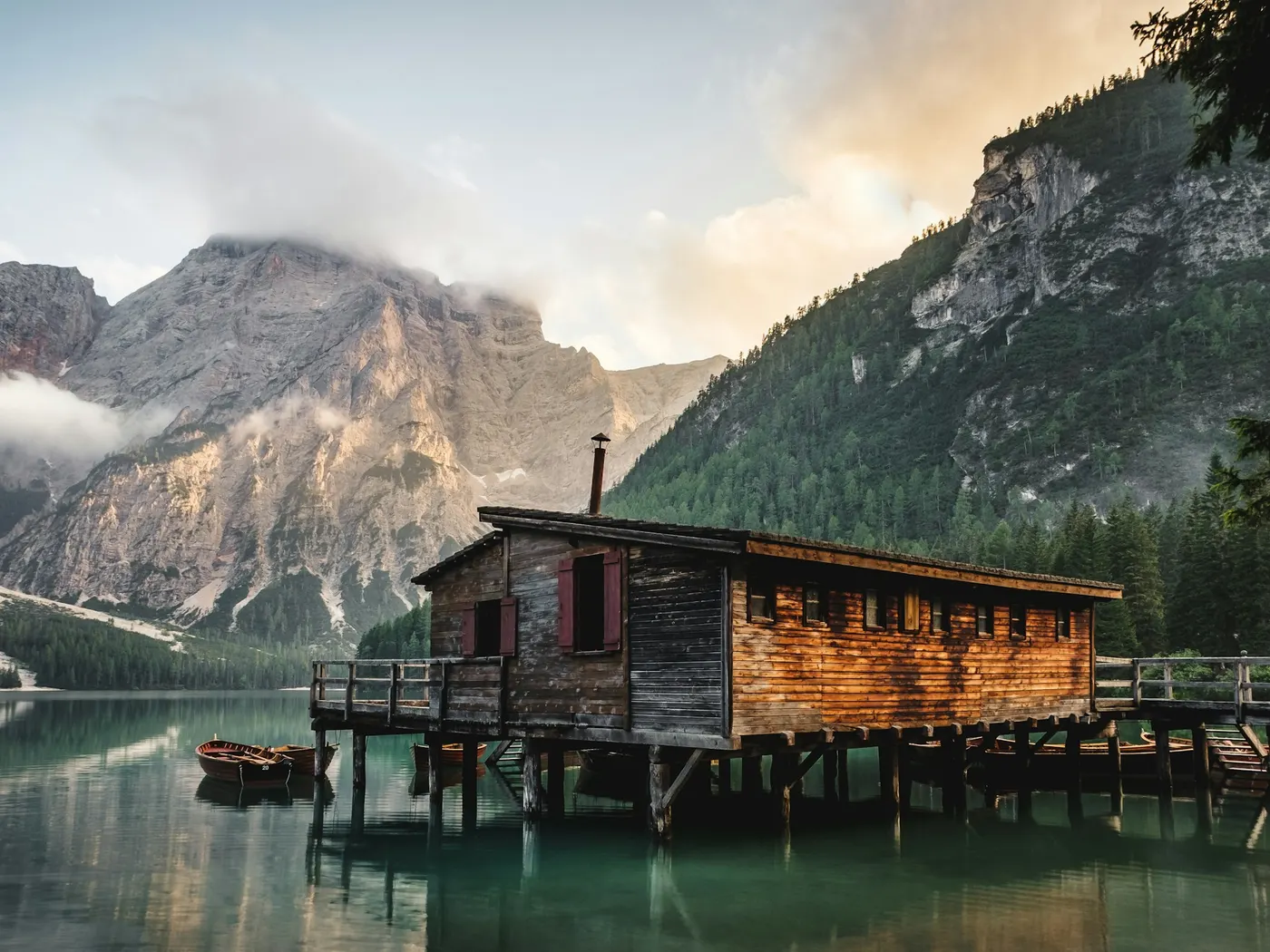
Whitehorse Hot Springs
Swimming hole in Winnemucca (nv), Oregon · Spring
Whitehorse Hot Springs is a hot springs swimming hole. It is near Winnemucca (nv), Oregon. Access is free. Best season: Spring (April-May) and Autumn (September-October) offer moderate temperatures and colorful desert vistas.
Typical season: Spring (April-May) and Autumn (September-October) offer moderate temperatures and colorful desert vistas
About Whitehorse Hot Springs
Whitehorse Hot Springs sits in Oregon. Swimmers come for a natural day on the water without resort amenities.
Out here on the high desert of southeastern Oregon, silence isn't just the absence of noise. It's a presence of its own. If you're the kind of traveler who measures a destination by how far it feels from everywhere else, this place delivers. The springs emerge from the earth in classic high desert terrain. Wide-open sagebrush flats, rimrock silhouettes on the horizon, and skies that seem to go on forever. The landscape has the austere beauty of the Great Basin: spare, ancient, and utterly unhurried. During spring and autumn, the desert softens with color. Wildflowers push through the scrub in April and May, and the light turns golden and long in September and October.
Winter strips the scene down to its essentials: a cold, pale sky above and warm, steaming water rising from the ground below. The contrast alone is worth the drive. The Whitehorse Ranch area nearby adds a layer of Western history to the surroundings, rooting this remote corner of Oregon in a ranching heritage that stretches back generations. The Soaking Experience Whitehorse Hot Springs is undeveloped and unofficial. Don't come expecting a resort or even a formal pool. What you'll find instead is a raw, natural geothermal experience on public land.
Treat Whitehorse Hot Springs as a wild swim: no lifeguard, variable depth, and rules that can change by season.
Key facts
Structured details for trip planning — verify access and fees with the land manager before you visit.
- Water type
- Hot Springs
- Water body
- Whitehorse Hot Springs
- Fee
- Free
- Nearest town
- Winnemucca (nv)
- State
- Oregon
- Coordinates
- 42.27538, -118.26560
- Best season
- Spring (April-May) and Autumn (September-October) offer moderate temperatures and colorful desert vistas. Winter visits provide a cozy, warm soak in contrast to the chilly air.
- Access difficulty
- Moderate. Gravel and dirt roads require careful navigation; high-clearance vehicles are recommended.
- Restrooms
- Yes
- Lifeguard
- Present (seasonal)
- Camping
- Informal camping at site.
- Activities
- Hot Tubbing
- Facilities
- Basic toilet available. No other formal amenities, so you should come prepared with their own supplies.
- Last verified
- May 12, 2026
The experience
- Best time to visit Spring (April-May) and Autumn (September-October) offer moderate temperatures and colorful desert vistas. Winter visits provide a cozy, warm soak in contrast to the chilly air.
- Access Moderate. Gravel and dirt roads require careful navigation; high-clearance vehicles are recommended.
- Facilities Basic toilet available. No other formal amenities, so you should come prepared with their own supplies.
- Camping nearby Informal camping at site.
Highlights & features
- Remote desert location
- Geothermal hot springs
- Free access and informal camping
- Stunning night skies
- Nearby Whitehorse Ranch
- Secluded hot springs in BLM land
- Therapeutic mineral-rich waters
- Unspoiled natural surroundings
How to get there
Whitehorse Hot Springs lies in Oregon near Winnemucca (Nv), Burns Junction (Or). Use these driving notes as a starting point and confirm road conditions before you go. Bring water, sunscreen, and gear for a primitive swim day. Weekends and holidays can draw more visitors. Check local updates on access and water levels before you leave home.
-
Starting from Winnemucca, Nevada
Begin your journey on Interstate 80 (I-80) in Winnemucca, NV.
-
Take Exit 176 and head north on U.S. Route 95 (RT 95) toward McDermitt, NV.
Continue on RT 95 and cross into Oregon at McDermitt.
-
From McDermitt, stay on RT 95 for about 35 miles until you reach Whitehorse Ranch Road, a gravel road on the west (left) side of the highway. This road is marked with a sign for Whitehorse Ranch.
On Whitehorse Ranch Road:
-
5. Turn left onto Whitehorse Ranch Road and follow this gravel road for about 22 miles. Along the way, you will pass the Whitehorse Ranch buildings, which will be clearly visible on the north (right) side of the road.
-
6. Continue driving on Whitehorse Ranch Road for a few more miles. Watch for a set of telephone poles that cross from the north (right) side of the road to the south (left) side.
-
7. When you see the telephone poles crossing to the south side, look for a pole with several orange survey ribbons tied to it. This is your landmark for the turnoff. (If you are using a GPS, the coordinates for this pole are about 42.2997° N, 118.269° W.)
-
Final Approach to the Hot Springs
-
8. Turn left (south) onto the dirt road at the pole with the orange ribbons.
-
9. Follow this dirt road for about 3 miles. You will come to a point where another road branches off to the east (right) and leads up onto a low butte. This is the access road to Whitehorse Hot Springs.
-
10. Turn right onto this road and drive a short distance to the hot springs. You may see vehicles parked on the butte near the springs.
-
Additional Notes
-
Parking: There is informal parking near the hot springs. Be mindful of other visitors and avoid blocking the road or access points.
Road Conditions: Both Whitehorse Ranch Road and the final dirt road can be rough and may require a high-clearance vehicle, especially in wet weather. Drive cautiously and be prepared for remote conditions. Facilities: The area is remote, and there are no facilities at the hot springs. Bring plenty of water, snacks, and any supplies you may need.
-
Alternative Route from Denio, Nevada
If approaching from the west via Route 205 (RT 205) near Denio, NV, turn east onto Whitehorse Ranch Road. Follow Whitehorse Ranch Road for about 24 miles until you reach the telephone pole on the south side with orange ribbons. Use the GPS coordinates (42.2997° N, 118.269° W) if needed.
-
From this point, follow the same directions as above to reach the hot springs.
Have a safe visit to Whitehorse Hot Springs, and remember to respect the natural environment and leave no trace!
Plan your visit
Whitehorse Hot Springs works well as a day trip from Winnemucca (Nv) or Burns Junction (Or). Stock up in town, then head to the water with food, water, and sun protection. Combine the swim with camping at Alvord Hot Springs or browse more Oregon spring spots in our directory. For the full list in Oregon, see our state directory.
Access & fees
Access is via rough, remote gravel and dirt roads that may require a high-clearance vehicle, especially after rain or snow. The site is unofficial and has no on-site staff or services. No fee is collected, but this is not a guarantee of free access; land management status can change.
Top picks for this trip
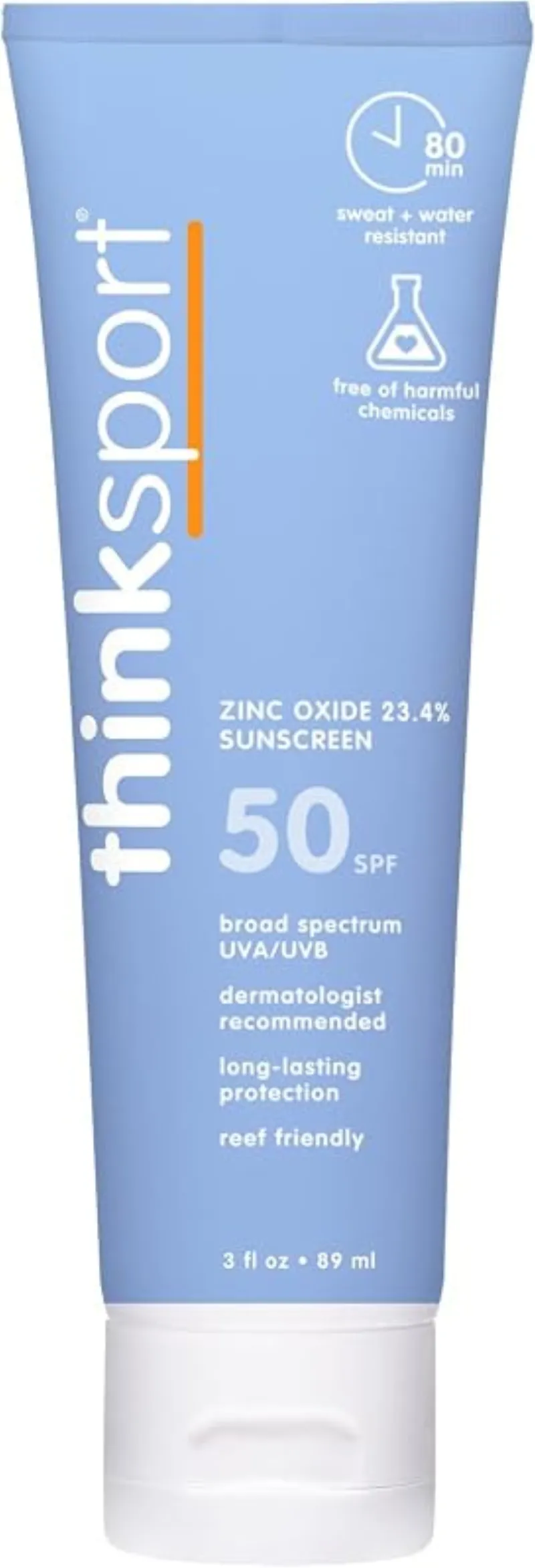
ThinkSport Sport Mineral Sunscreen
The best blend of reef-safety, protection, and wearability — start here.
Check price on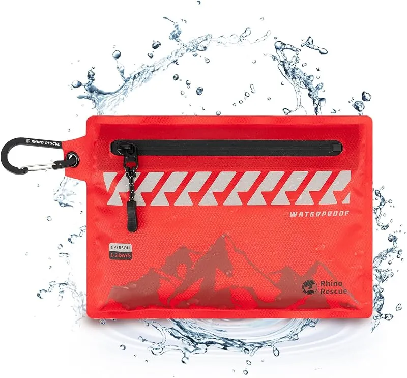
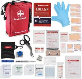
Rhino Rescue Waterproof First Aid Kit
The kit to leave clipped in your pack so you are never caught without it on the trail.
Check price onDisclosure: Gear links may earn a commission as an Amazon Associate — at no extra cost to you. Learn more.
What to pack for Whitehorse Hot Springs
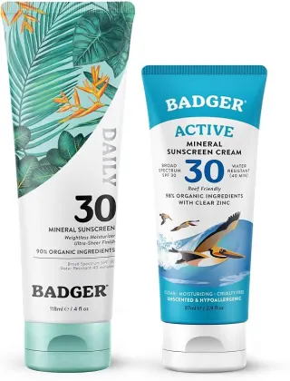
Gear we compare side by side for spring swims like this one — water access, sun, and the hike in.
Disclosure: Gear links may earn a commission as an Amazon Associate — at no extra cost to you. Learn more.
Frequently asked questions
Can you soak or swim at Whitehorse Hot Springs?
Yes. Whitehorse Hot Springs near Winnemucca (Nv) and Burns Junction (Or) in OR is a hot-springs destination on Whitehorse Hot Springs. Confirm current access and temperatures before you go — conditions change.
Is Whitehorse Hot Springs free?
Access is generally free (fee listed as “None”). Confirm any parking or day-use rules on site, and pack out trash.
How do you get to Whitehorse Hot Springs?
Whitehorse Hot Springs is in OR within day-trip range of Winnemucca (Nv) and Burns Junction (Or). Use a current map for the put-in or park entrance; cell service can be limited at remote spots.
Explore more nearby swimming guides
Nearby swimming holes
Map & location
Culture & history
Part of the traditional lands of the Northern Paiute tribes, the area holds historical significance tied to indigenous use of natural resources.
Conservation
Follow Leave No Trace principles to protect fragile desert ecosystems. Avoid disturbing wildlife and pack out all trash.
Sources & updates
Spotted outdated access, fees, or safety info? Send a correction with the page URL — we review every submission.