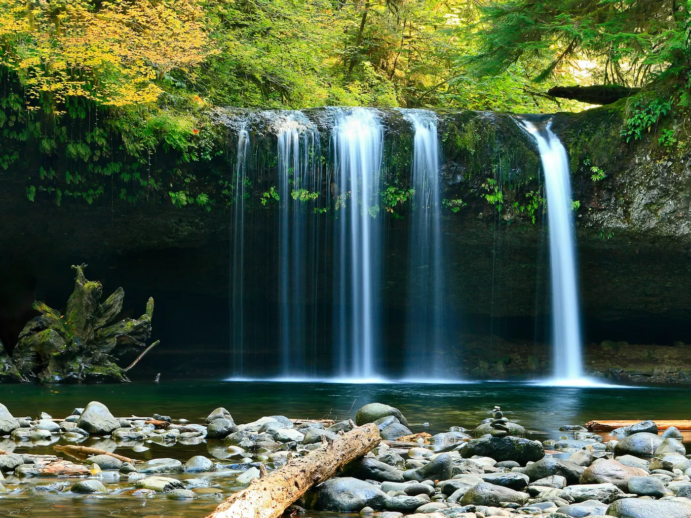
River VT
Dog River
There are no crowds, no entrance booths, and no manicured facilities. Just cold, clear Vermont river water and the steady sound of current moving over stone.
View details24 natural swim spots within about 100 miles of Montpelier, Vermont.
This page lists 24 natural swimming holes near Montpelier, Vermont, sorted by distance within about 100 miles.
Near Montpelier, Vermont, our directory maps 24 natural swimming holes within about 100 miles of the city center — including 8 rivers, 7 creeks, 2 waterfalls, and 6 lakes. The closest mapped spot is Dog River (2.1 mi straight-line). Distances are not drive time; open each listing for directions, fee notes, access rules, and safety context before you travel.
| Central place | Montpelier, Vermont |
|---|---|
| Search radius | About 100 miles |
| Mapped spots | 24 |
| Closest listing | Dog River (2.1 mi) |
| Water types | River (8), Creek (7), Waterfall (2), Lake (6), Quarry (1) |
| Typical fees | 15 free · 1 fee · 8 varies |
24 natural swim spots in Vermont, sorted by distance from the city center. For live GPS sorting, use swimming holes near me.
There are no crowds, no entrance booths, and no manicured facilities. Just cold, clear Vermont river water and the steady sound of current moving over stone.
View details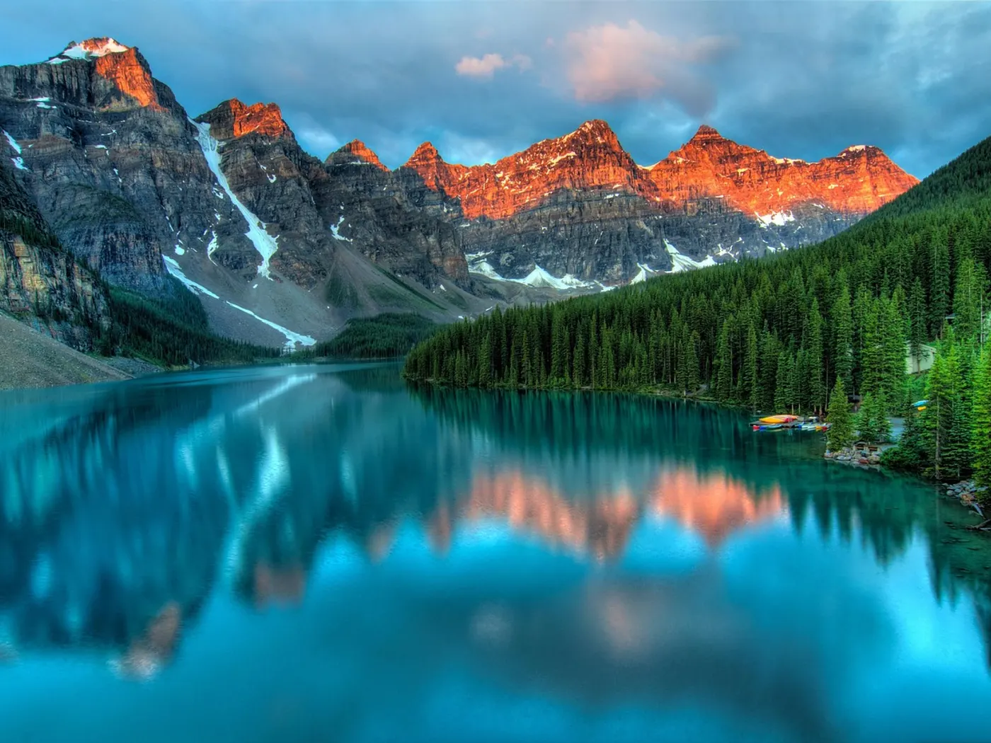
Dirt roads wind past old stone walls, weathered barns, and stands of birch and maple. And the sound of moving water seems to follow you everywhere.
View details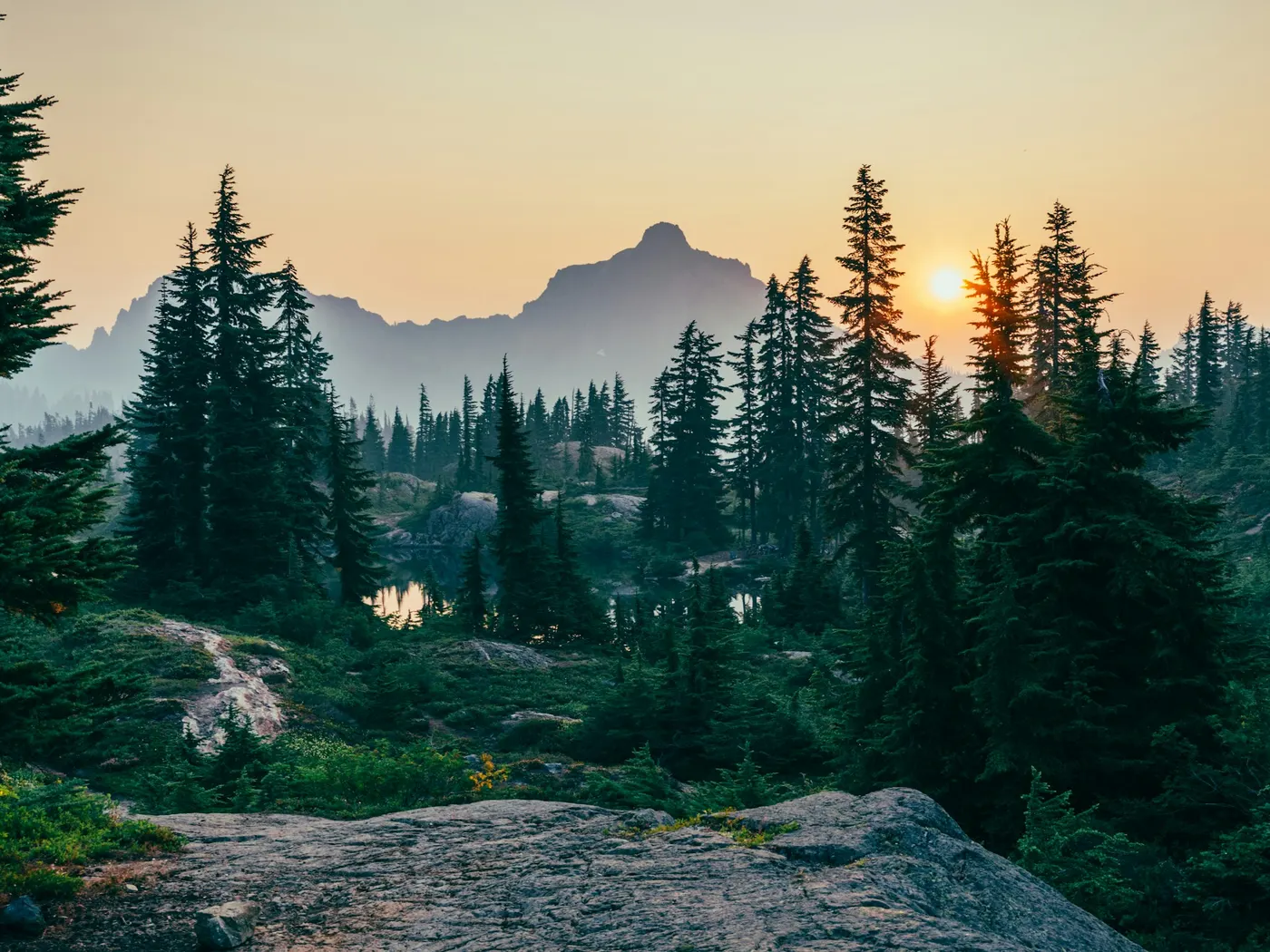
Set along the clear, cold waters of Minister Brook near Worcester, this unofficial . A remnant of an earlier era that nature has spent decades reclaiming and reshaping.
View details It's unofficial, unpolished, and entirely genuine. A place where locals have been cooling off for generations and visitors quickly understand why.
View details Floating Bridge lies in Vermont, where Sunset Lake moves through a wooded corridor. The Floating Bridge on Sunset Lake in Brookfield, Vermont is unmistakably the latter.
View details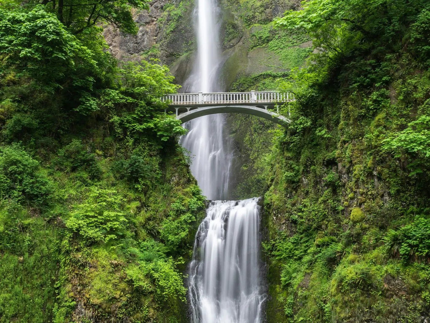
Bolton Potholes on Joiner Brook near Bolton, Vermont are free cascading granite pools popular with Burlington and Waterbury day-trippers. Cold mountain water and rock jumping — scout every landing.
View details East Middlebury Gorge is a clear Middlebury River swimming hole in Vermont with rock ledges and cold mountain water near Middlebury and East Middlebury. Free informal access — check depth before any jump.
View details This is not a developed recreation area with signage, parking lots, or crowds. It's a simple, roadside pause along Osgood Brook, where the water gathers into a small, inviting pool beside a rustic culvert, framed by the unhurried rhythms of central Vermont's countryside.
View details There are no signs pointing the way, no entry gates, and no snack bars. Just the brook, the trees, and the sound of water moving over stone.
View details Rochester is a River swimming destination near Rutland in Vermont. The setting stays informal and low-key.
View details Fed by the cold, clear waters of Sucker Brook, this unofficial . There are no signs directing you to a snack bar, no lifeguard whistles, no manicured lawns.
View details This is not a beach with a parking lot and a snack bar. It's the kind of place you find by following a wooded trail, navigating around boulders, and suddenly arriving somewhere that feels entirely your own.
View details QUECHEE GORGE is a river destination on Ottauquechee River in VT near White River, Woodstock, Quechee. Fee note: None. Confirm current access and conditions before you go — no lifeguards at informal spots.
View details This is not a developed beach with snack bars and crowds. It's the kind of place you discover, return to, and tell only your closest friends about.
View details Its name tells the story: this informal . There are no signs pointing you here, no lifeguards on duty, and no manicured amenities.
View details Situated where the towns of Lowell, Troy, and Jay converge, this beloved unofficial gathering place sits along Bugbee Brook, a clear, cold tributary of the Missisquoi River.
View details Buttermilk Falls sits in Vermont along Branch Brook. Swimmers come for a natural day on the water without resort amenities.
View details Tolles Hill Dam is a Dam/ River swimming destination near Ludlow in Vermont. The setting stays informal and low-key.
View details
It's the oldest marble quarry in the United States, carved out of the earth centuries ago and now filled with water so clear and still that the white marble walls shimmer beneath the surface like something out of a dream.
View details Fed by glacial history and framed by dense, cathedral-like stands of northern hardwoods and conifers, this clear-water pond offers the kind of .
View details Brockways Mills Gorge is a River swimming destination near Brattleboro in Vermont. The setting stays informal and low-key.
View details Unofficial and unimproved, this natural gem rewards those willing to navigate tricky backroads and arrive self-sufficient. No signage, no parking lot, no concession stand.
View details The Cornfield lies in Vermont, where West River moves through a wooded corridor. There are no signs announcing its presence, no entry gates, no snack bars.
View details The Ledges on Harriman Reservoir near Wilmington, Vermont is a rock-slab shoreline swim known as one of New England’s established clothing-optional beaches. Free informal access — pack out trash and respect other users.
View detailsBrowse by water type in Vermont — each link opens the full state directory for that category.
A river swimming hole is a stretch of moving water deep enough to swim or wade — often a bend, pool, or slack-water pocket. Browse river spots below for access notes, fees, and seasonal flow tips.
Creek swimming holes are smaller stream and brook pools — usually cooler, shallower, and tucked into forests or hollows. Use the list below to find creek swims by state, then confirm water level after rain.
Waterfall swimming holes are plunge pools and cascades fed by falls. Flow is often seasonal; check depth, cold water, and slippery rock before you enter.
Lake swimming holes include natural lakes, ponds, and reservoirs with shoreline access — still water that is often easier for families than currents. Browse lakes below for beaches, fees, and amenities.
Quarry swimming holes are deep, clear pools in former extraction sites. Depth can change suddenly — never dive without checking, and respect posted access rules.
Highlights and safety notes from our listings — not third-party reviews. Report outdated info or share a tip.
Montpelier is a practical launch point for day trips to natural swimming holes in Vermont. Within about 100 miles you will find 24 mapped destinations in our directory, starting with Dog River about 2.1 mi from the city center.
The mix spans river, creek, waterfall, lake, quarry — related terms searchers use include creek swimming, river swimming holes, spring-fed pools, and wild swimming.
Every card on this page is a verified directory entry in Vermont with map coordinates. We measure straight-line distance from the Montpelier city center — not driving time. A creek swimming hole 12 miles away on forest roads can take longer than a river access point 20 miles away on a highway.
Wild swimming near Montpelier includes informal river bends, spring-fed pools, waterfall plunge pools, and developed park swim areas. Rules, fees, and seasonal access differ by land manager. Never assume swimming is allowed without checking the listing and posted signs the day you visit.
Natural water near Montpelier changes after rain, snowmelt, and summer heat. Cold shock, currents, submerged rocks, and bacteria are real risks at creek and river swimming holes — most sites have no lifeguard. Check weather and local advisories before you enter the water.
We publish original planning copy, safety tips, and last-updated dates on each listing. See our editorial policy for sourcing standards, or contact us if access or conditions have changed.
Near Montpelier, Vermont, our directory lists 24 natural swimming holes within about 100 miles — mainly 8 rivers, 7 creeks, 2 waterfalls, and 6 lakes. Each listing links to directions, fee notes, and safety context. Use near me on your phone for live distance sorting from your location.
This page shows 24 mapped natural swim spots within about 100 miles of Montpelier. The full Vermont directory may list additional holes farther out or awaiting coordinates. Counts update as we verify new listings.
The closest mapped spot to Montpelier is Dog River (2.1 mi straight-line). Open that listing for driving directions, access notes, and current fee information — unofficial holes can change without notice.
15 listings note free or no-fee access; 1 require a fee or park admission; 8 have variable or unverified fees. Open each spot page for current fee details.
Near Montpelier, documented water types include rivers, creeks, waterfalls, lakes, quarry. A swimming hole is a natural outdoor pool in moving or spring-fed water — not a chlorinated pool. Filter by type on the Vermont state page or open each card for water-body details.
Late spring through early fall is the usual swim season near Montpelier, but snowmelt, drought, and weekend crowds change conditions week to week. Check each listing before you drive — high water after storms can make creeks and rivers unsafe.
Wild swimming near Montpelier carries real risks: cold water, currents, rocks, and no lifeguards at most unofficial sites. Check weather, water level, and posted warnings the day you visit. Read our river safety guide and each listing's safety section before entering the water.
Listing data last updated across spots on this page.